 Image 1 of 39
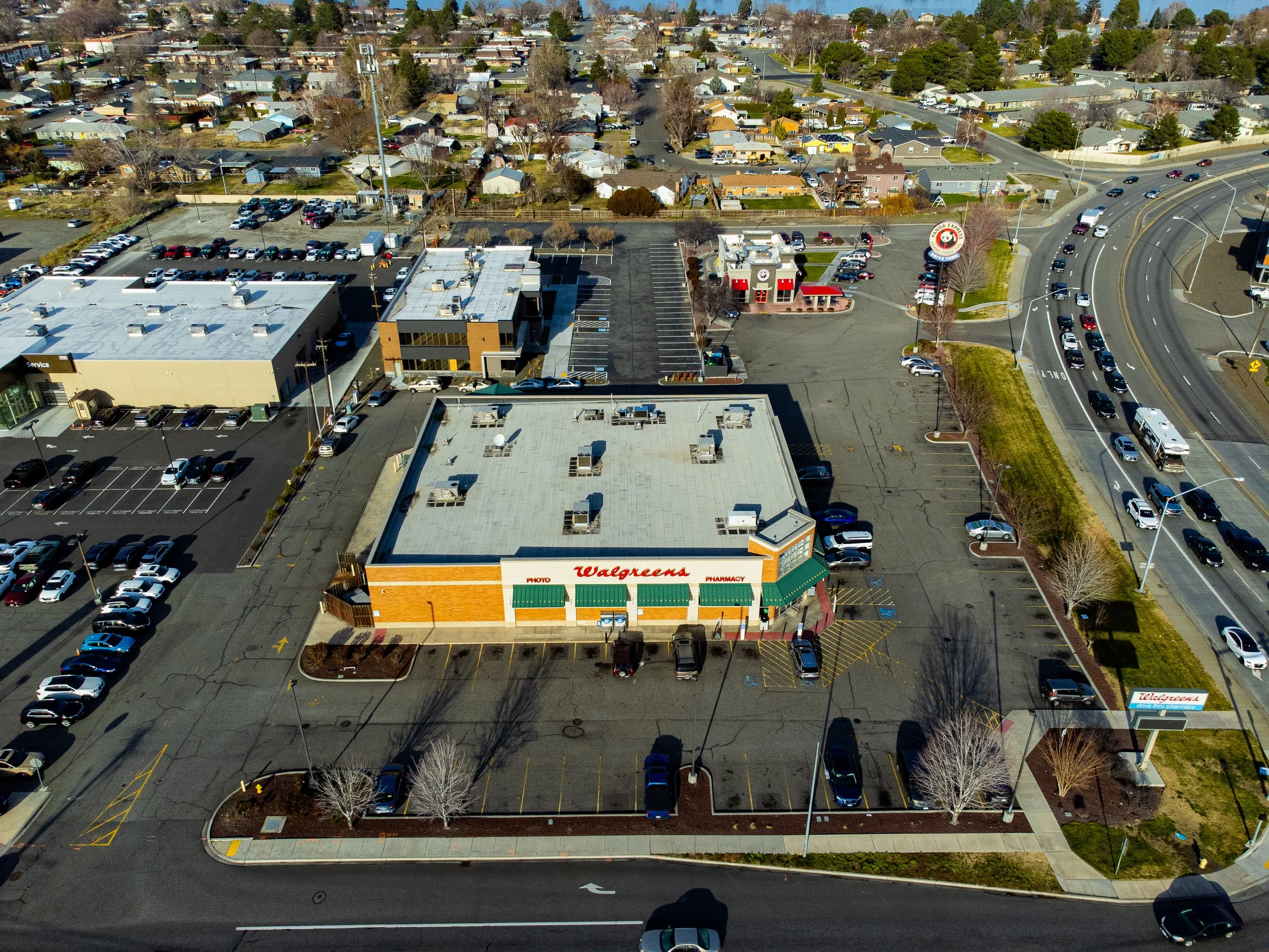 Image 2 of 39
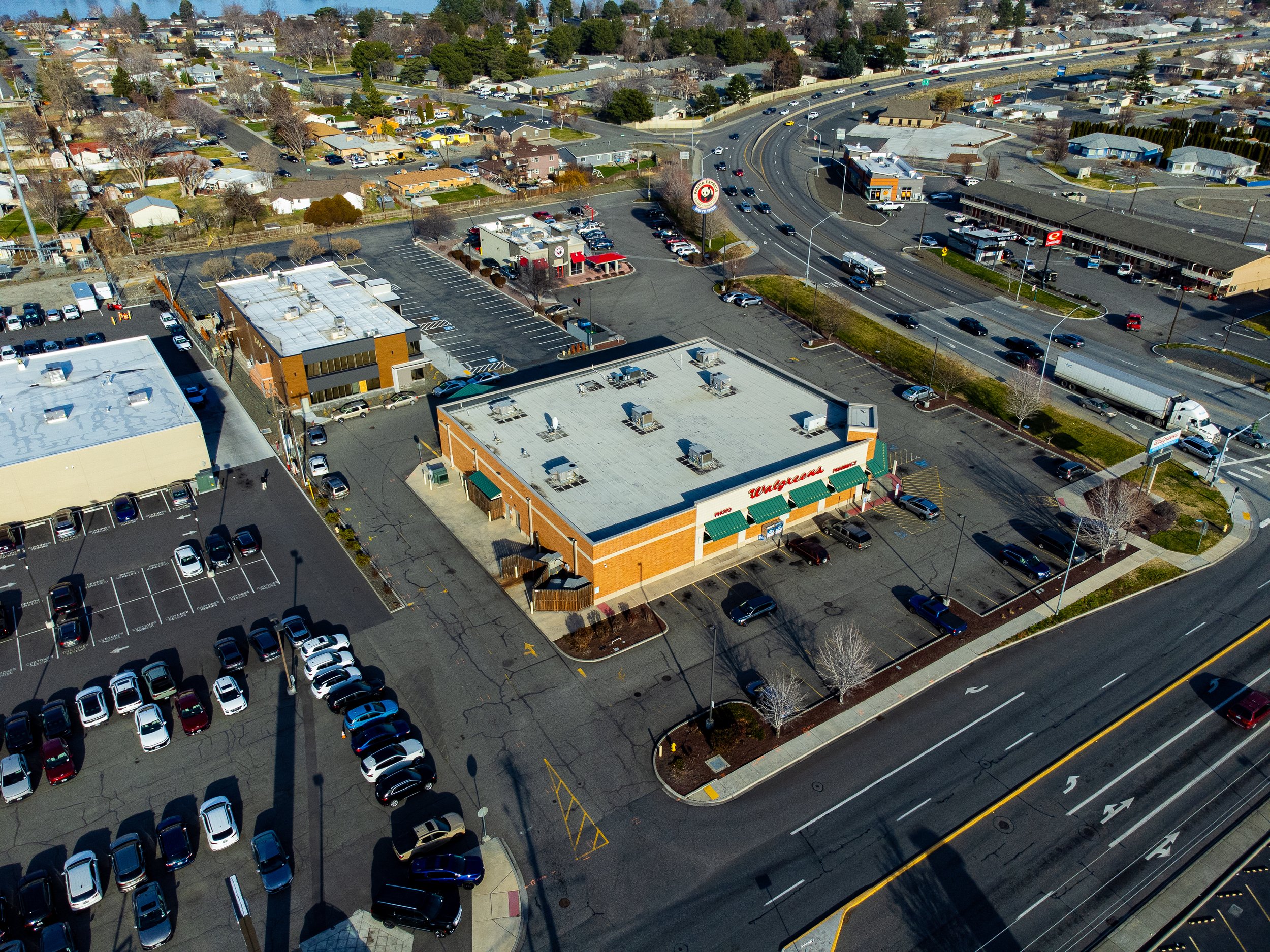 Image 3 of 39
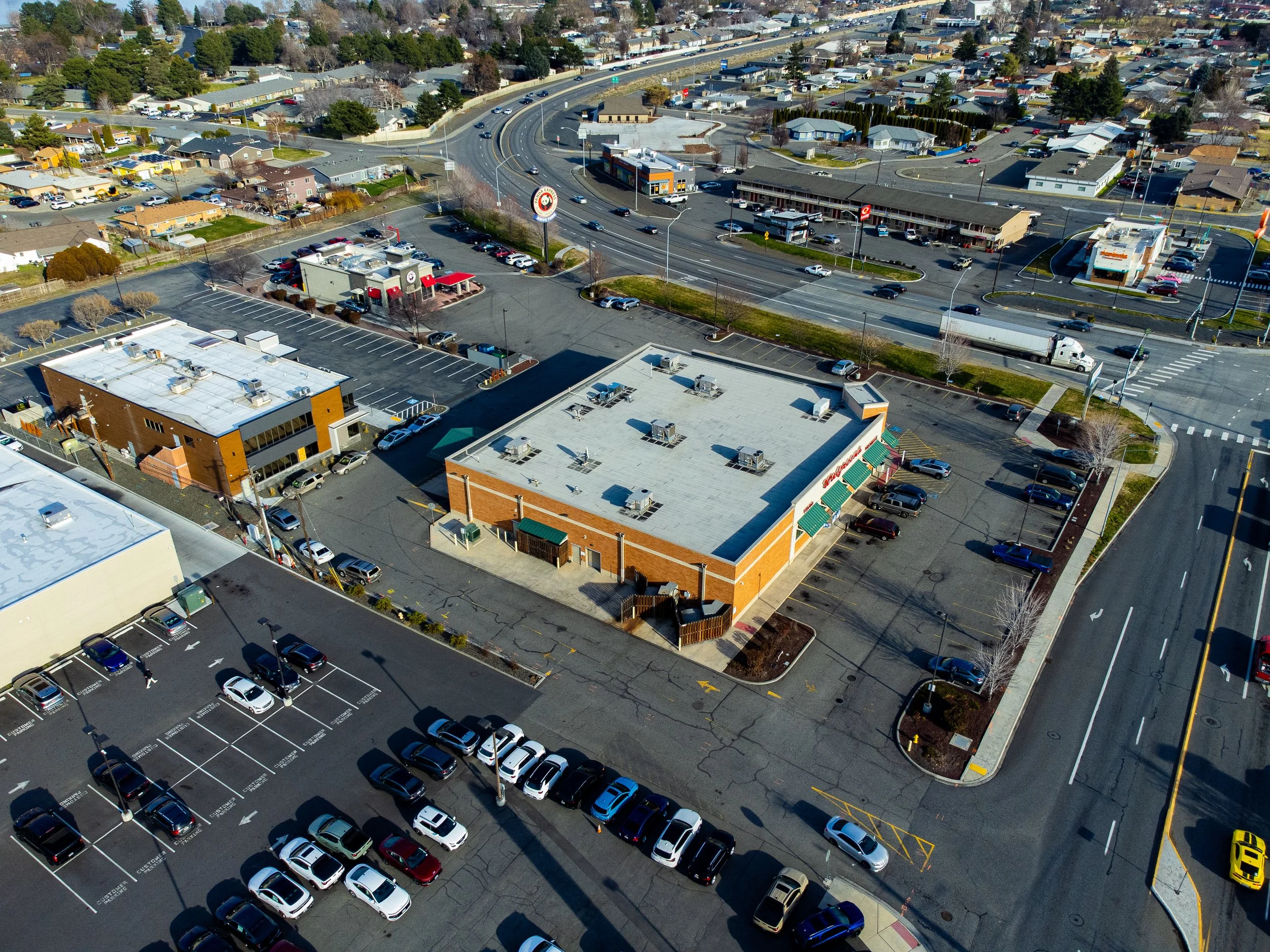 Image 4 of 39
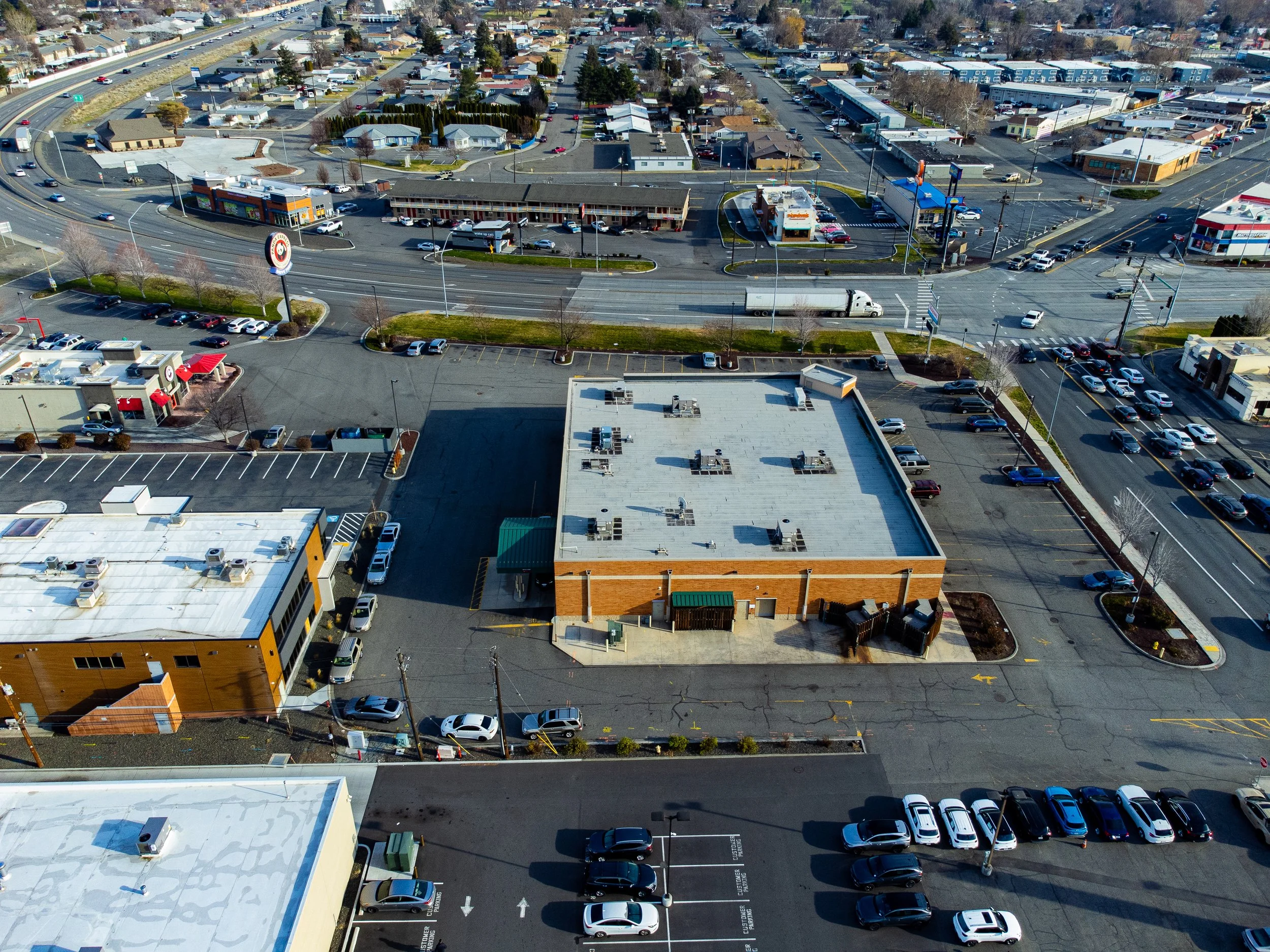 Image 5 of 39
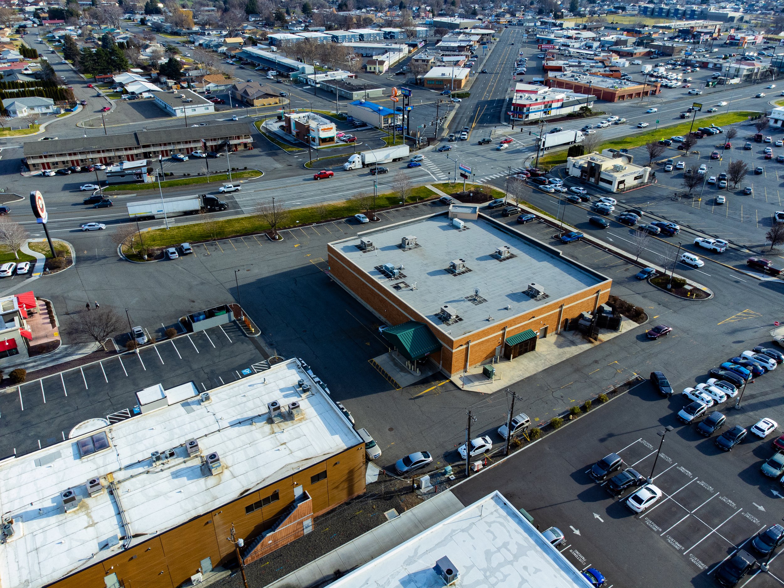 Image 6 of 39
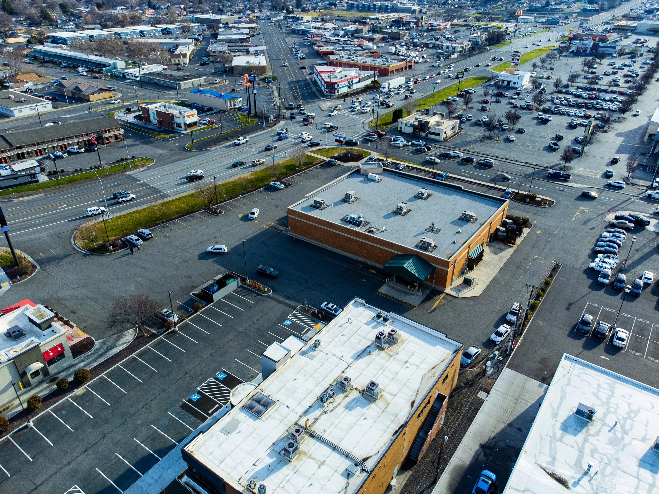 Image 7 of 39
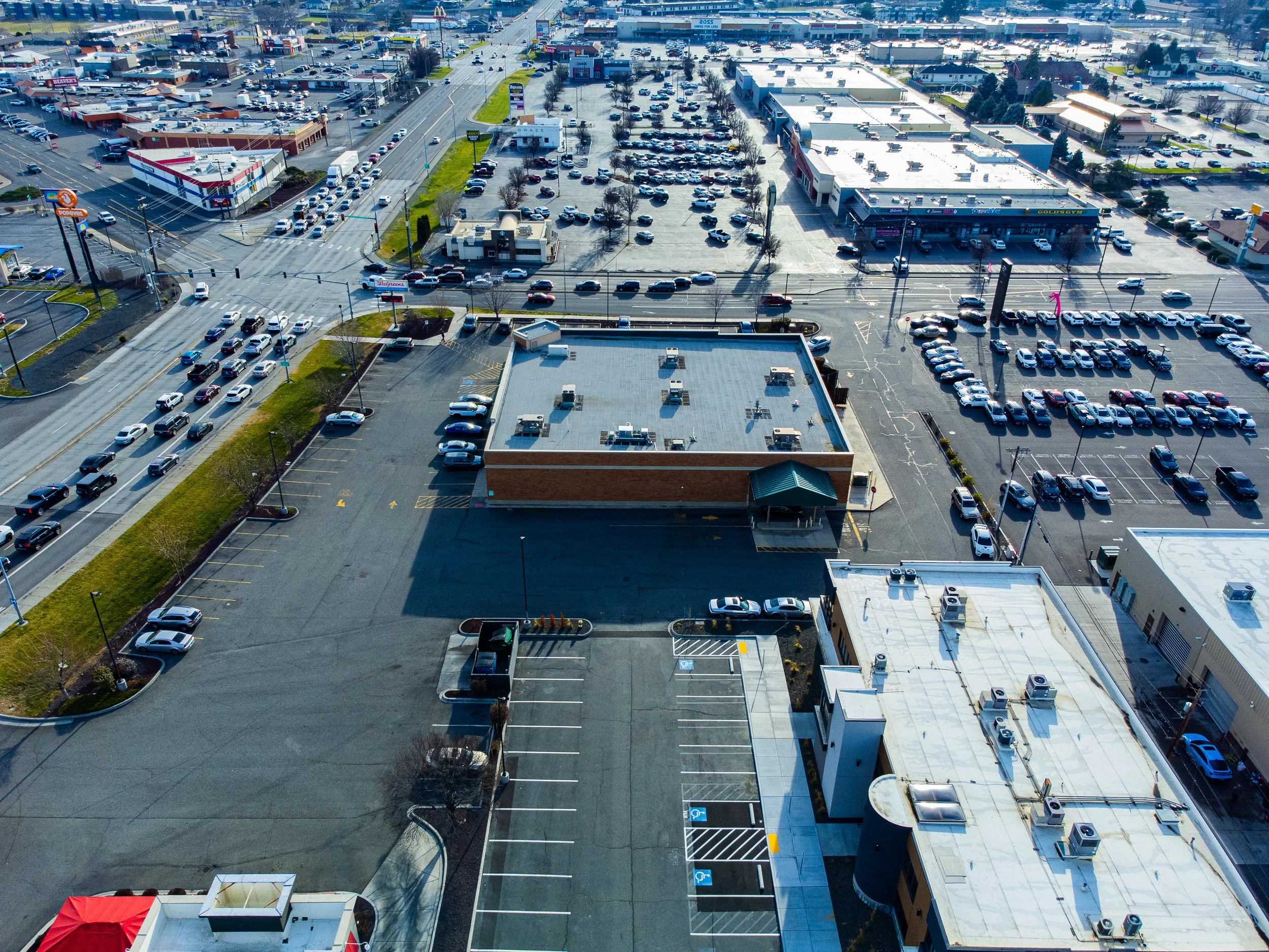 Image 8 of 39
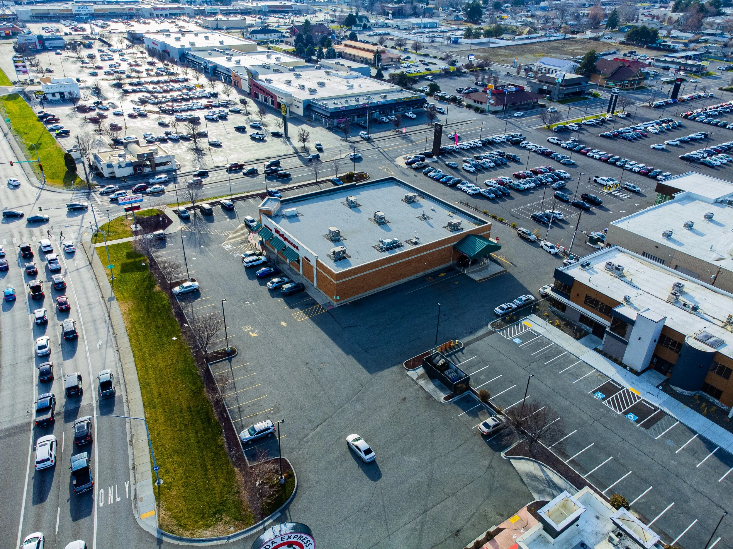 Image 9 of 39
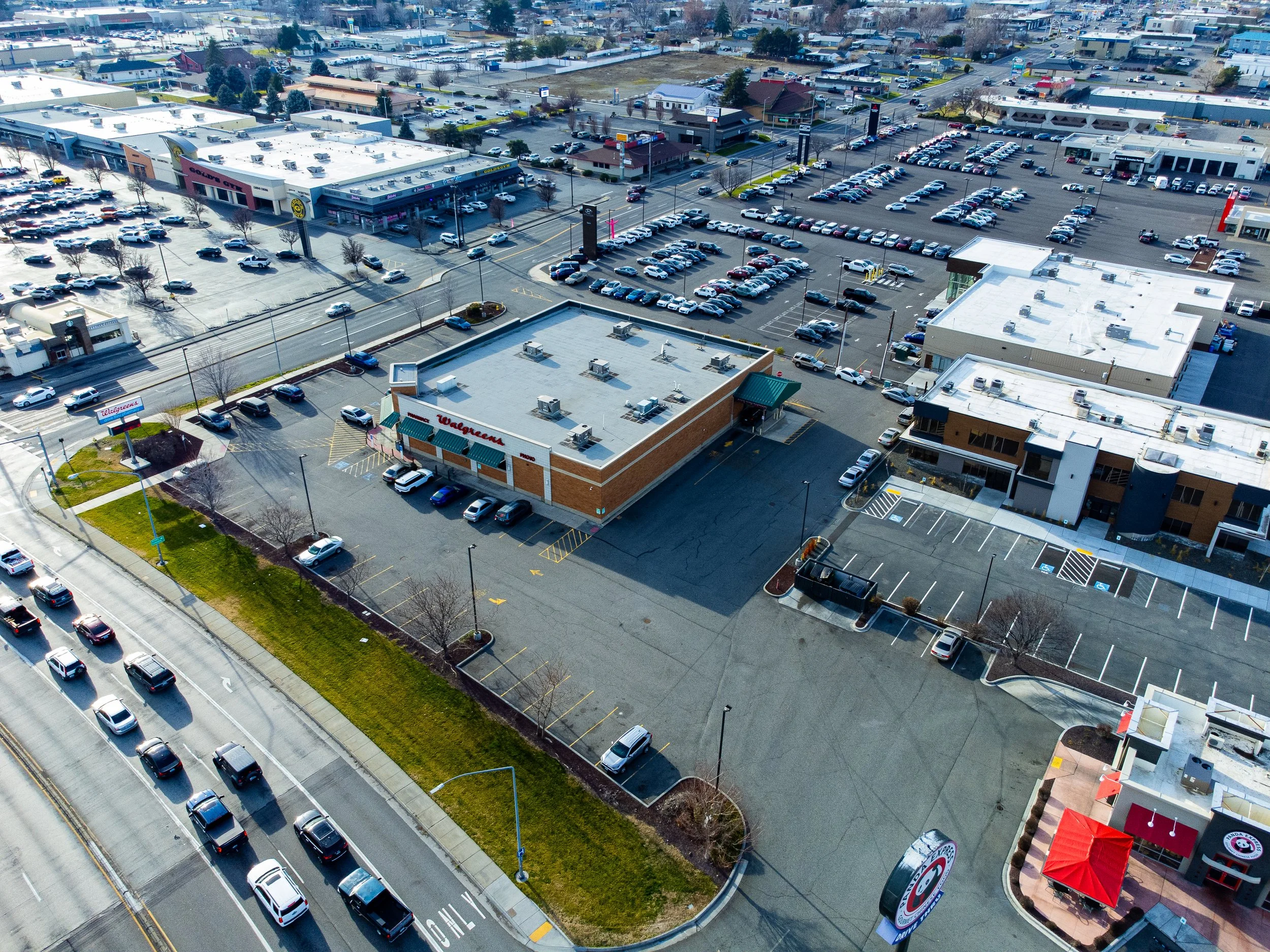 Image 10 of 39
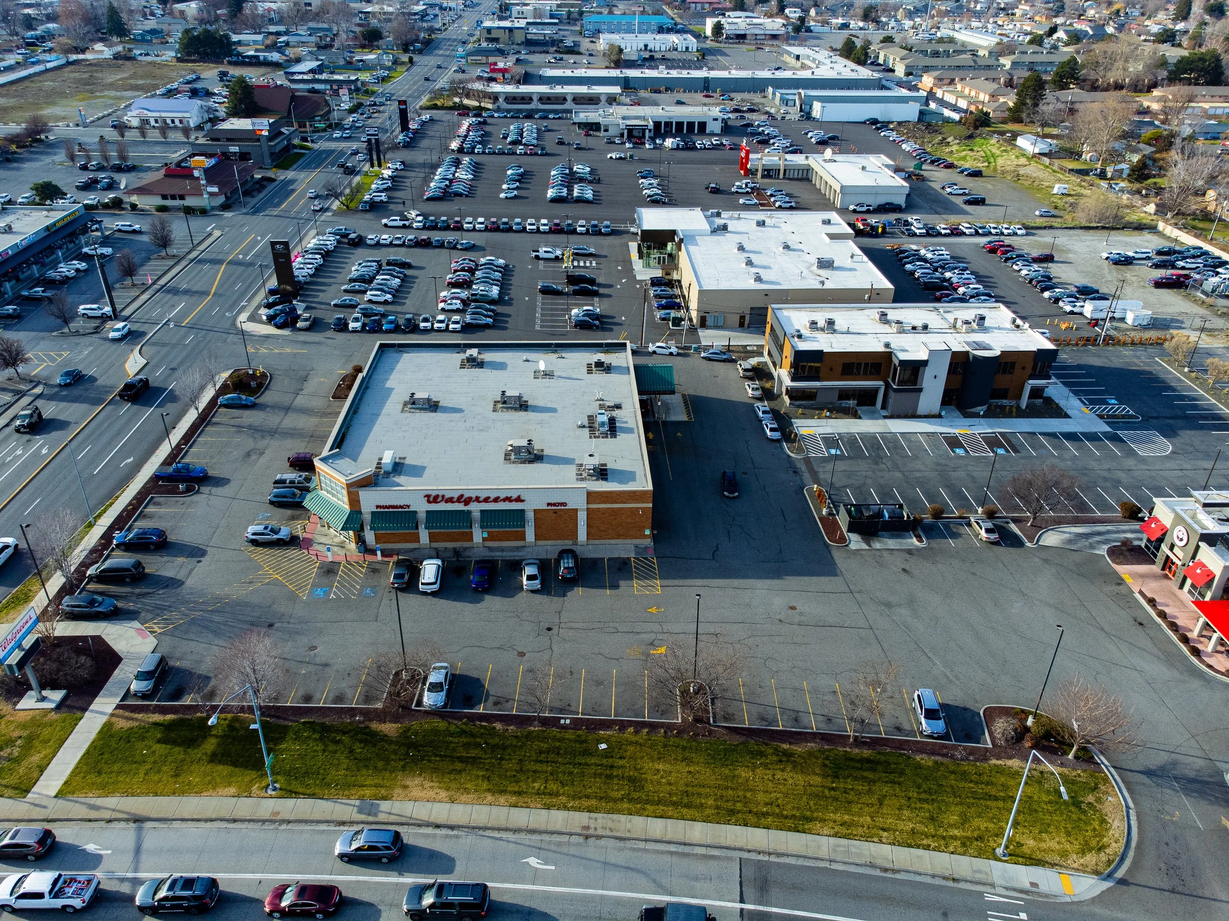 Image 11 of 39
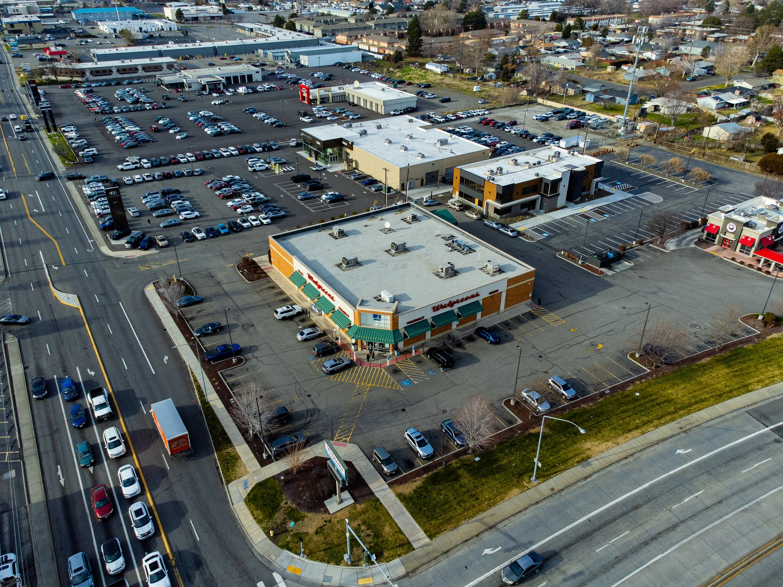 Image 12 of 39
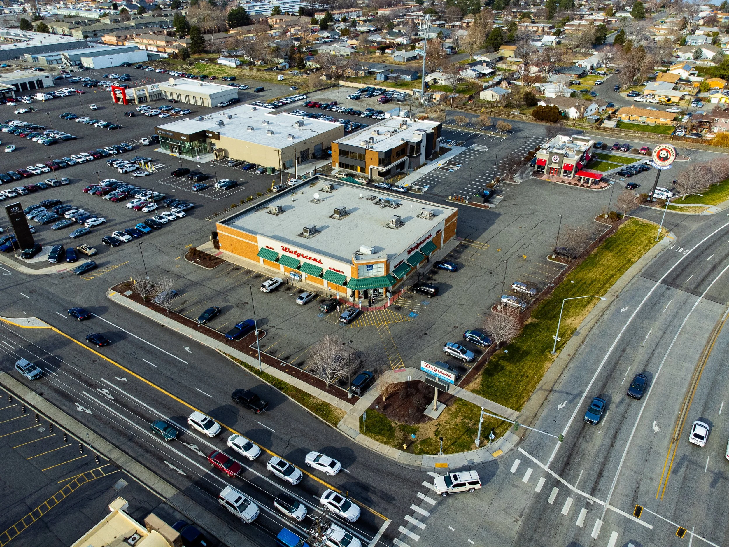 Image 13 of 39
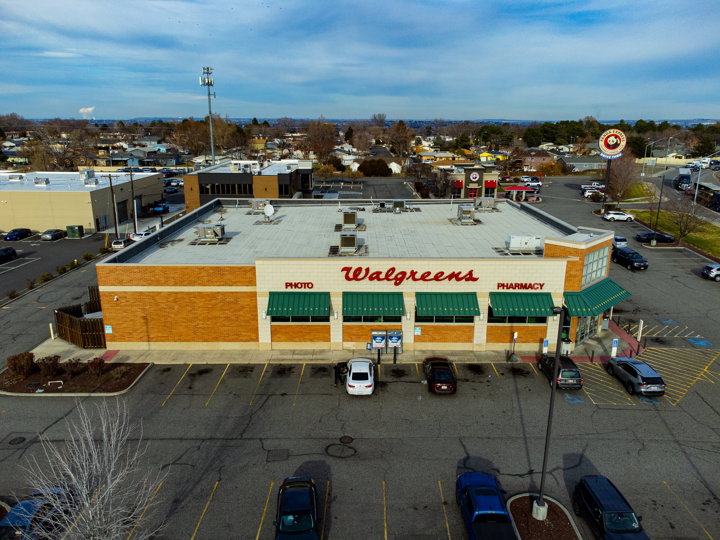 Image 14 of 39
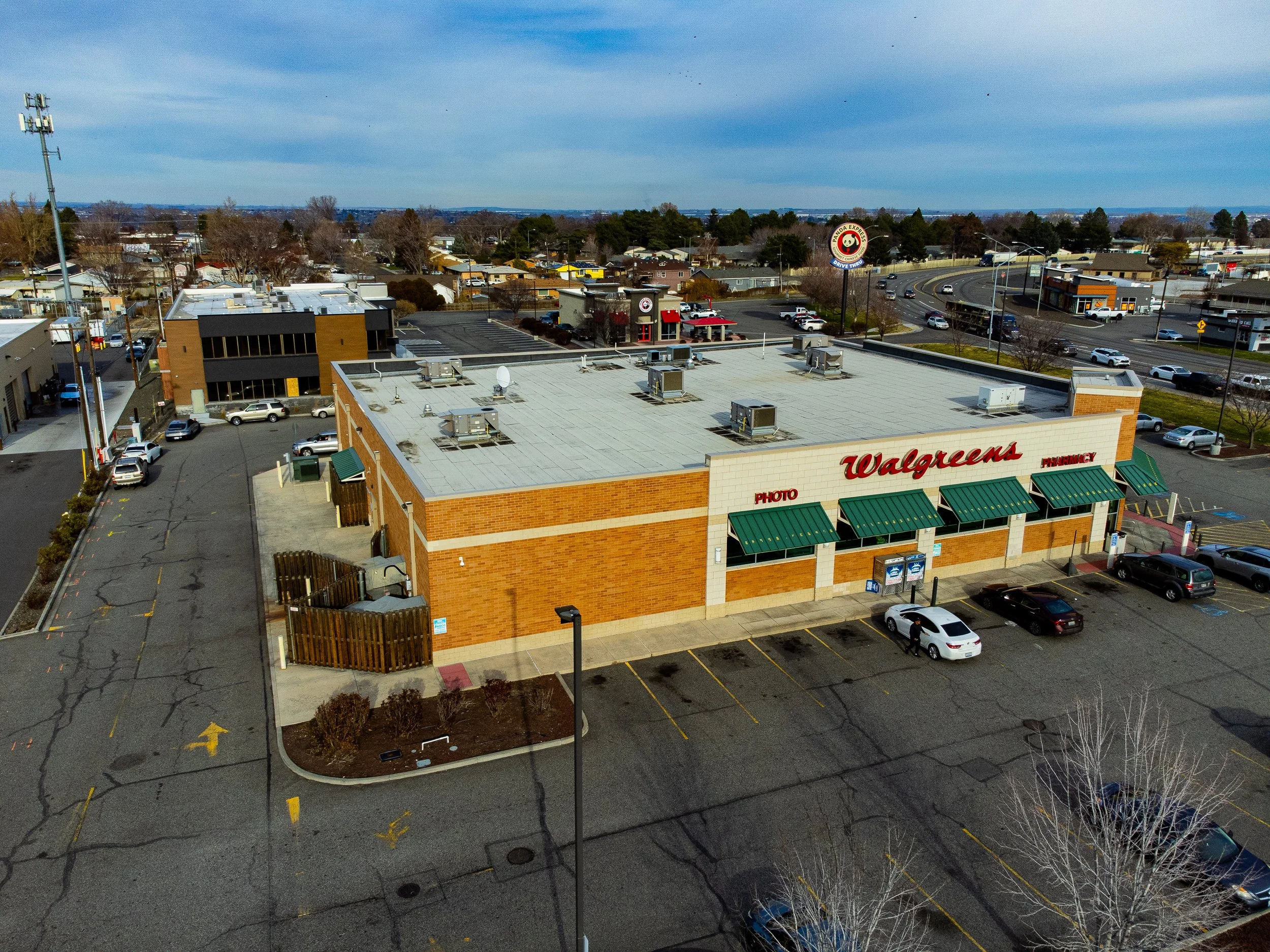 Image 15 of 39
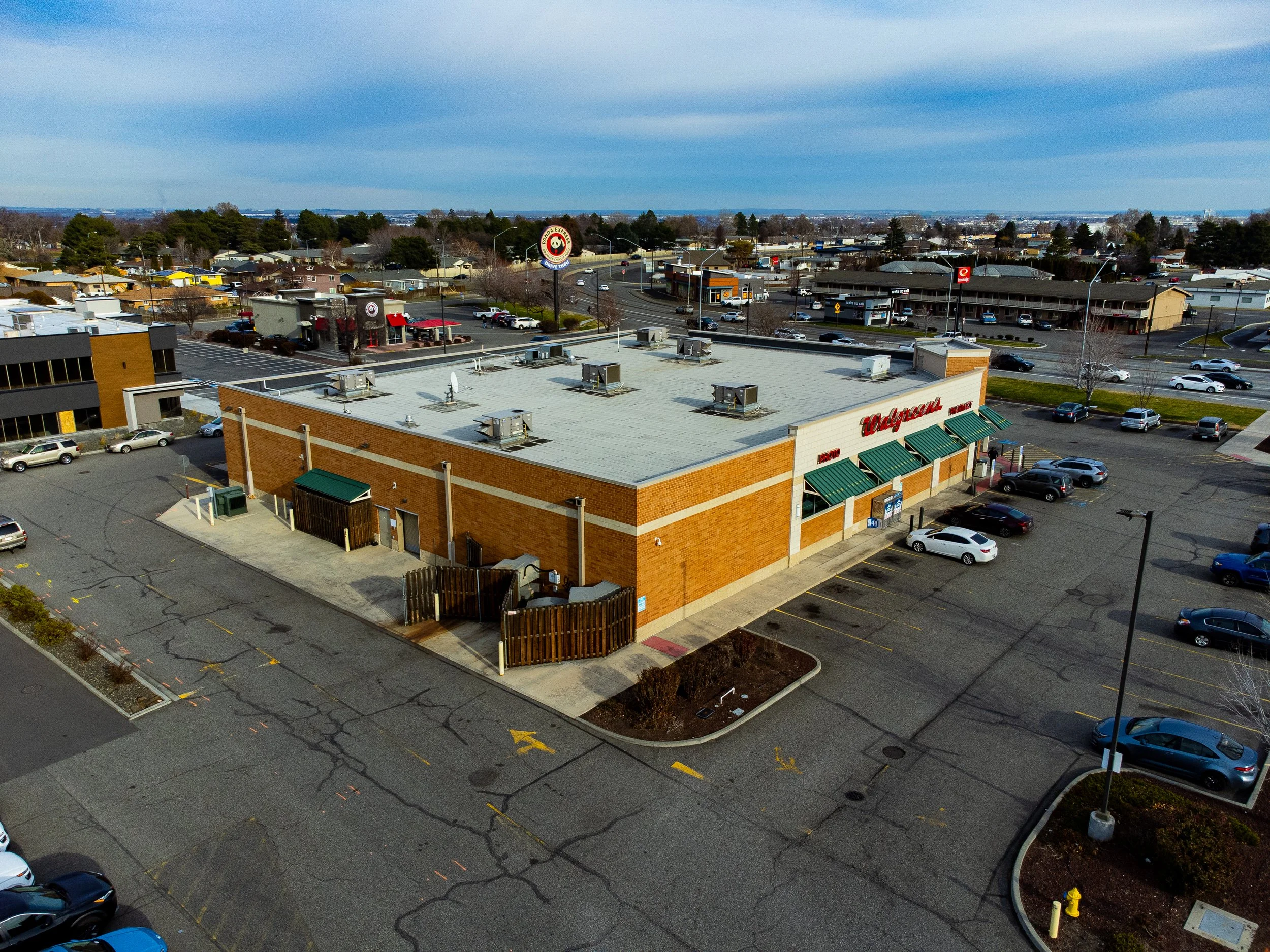 Image 16 of 39
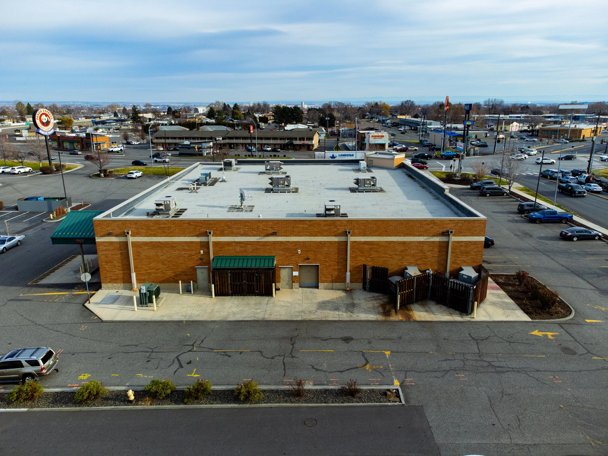 Image 17 of 39
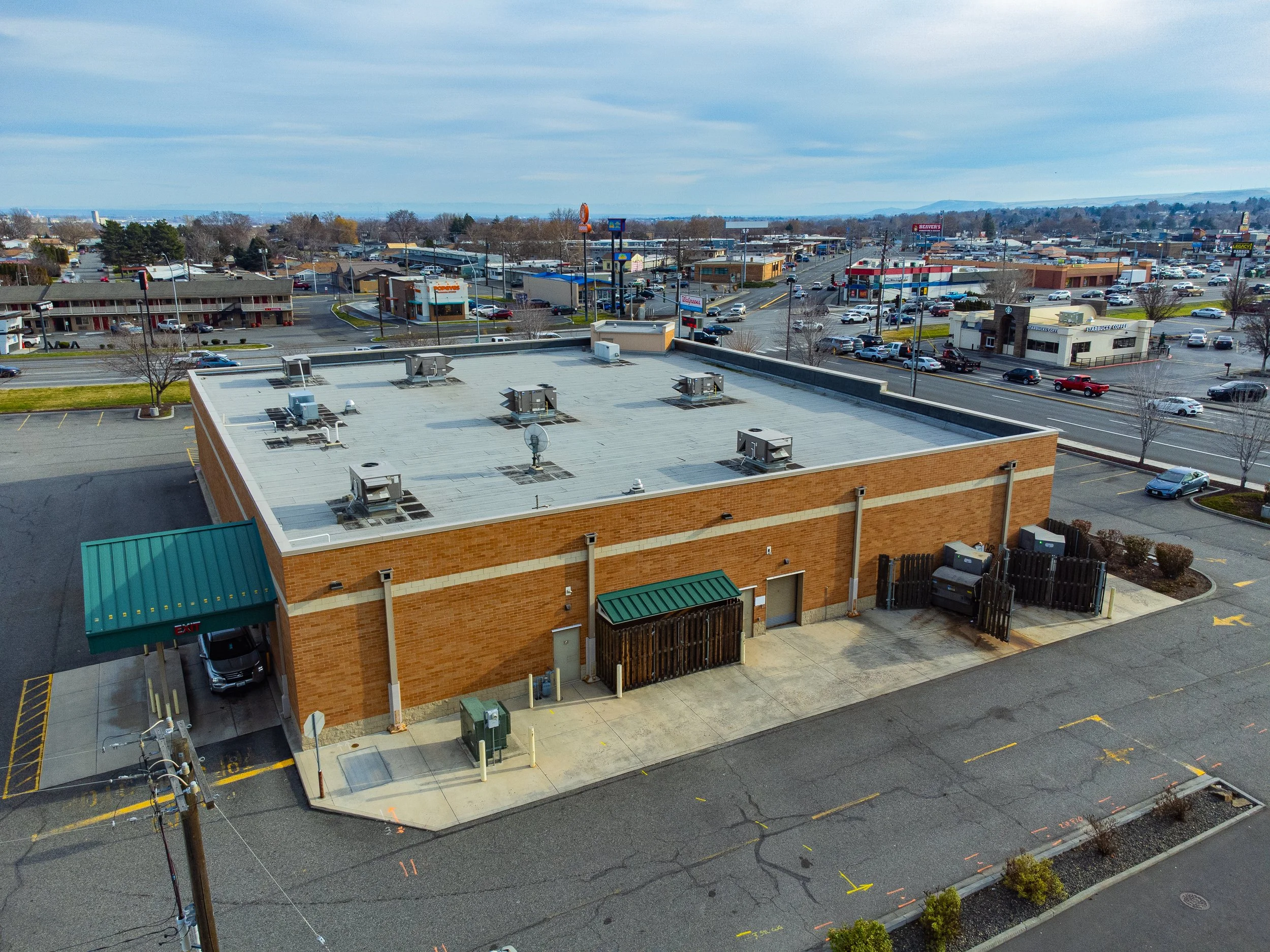 Image 18 of 39
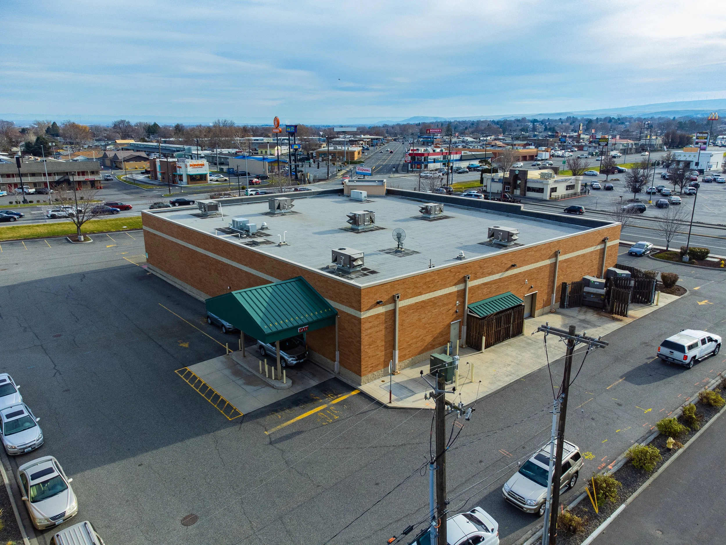 Image 19 of 39
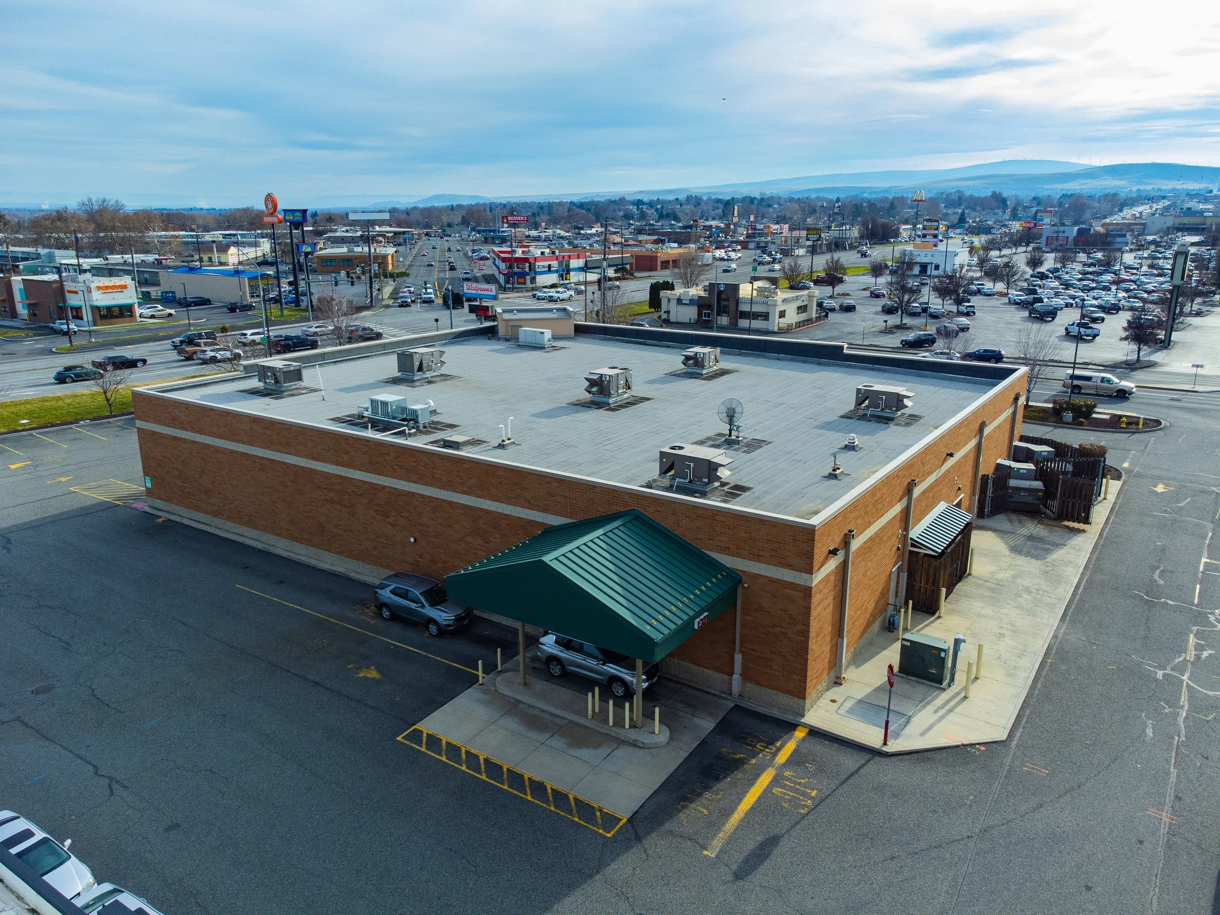 Image 20 of 39
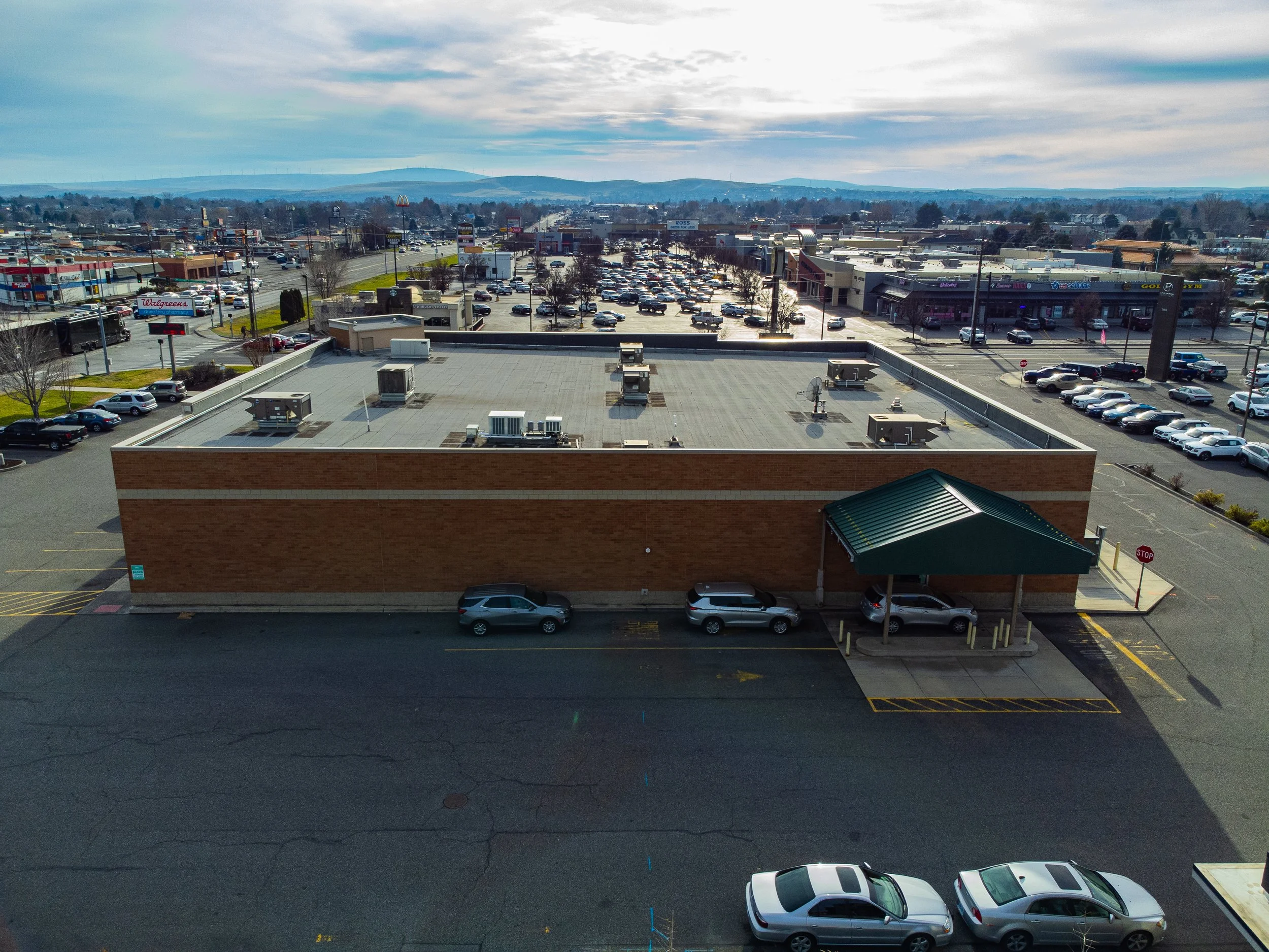 Image 21 of 39
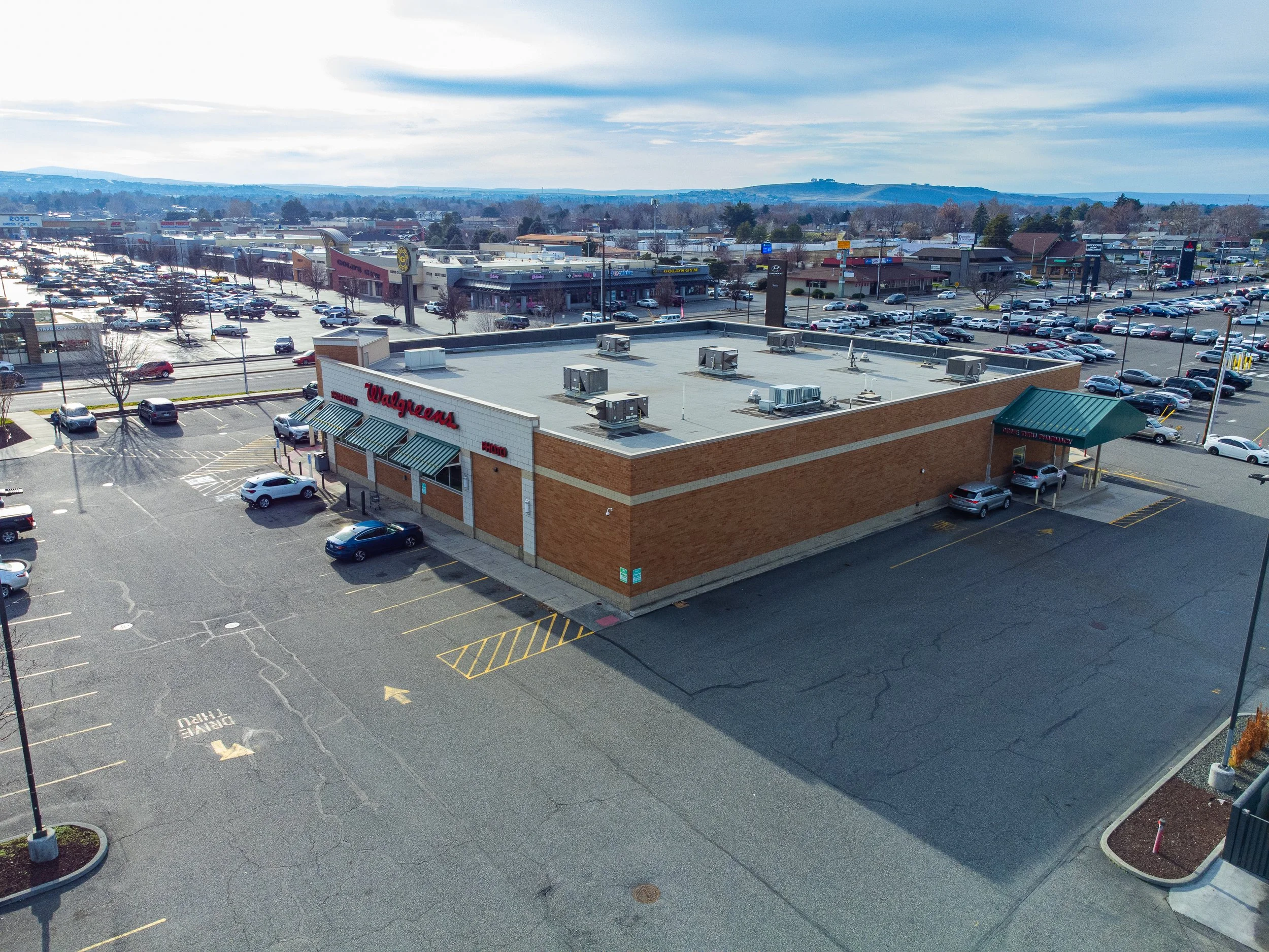 Image 22 of 39
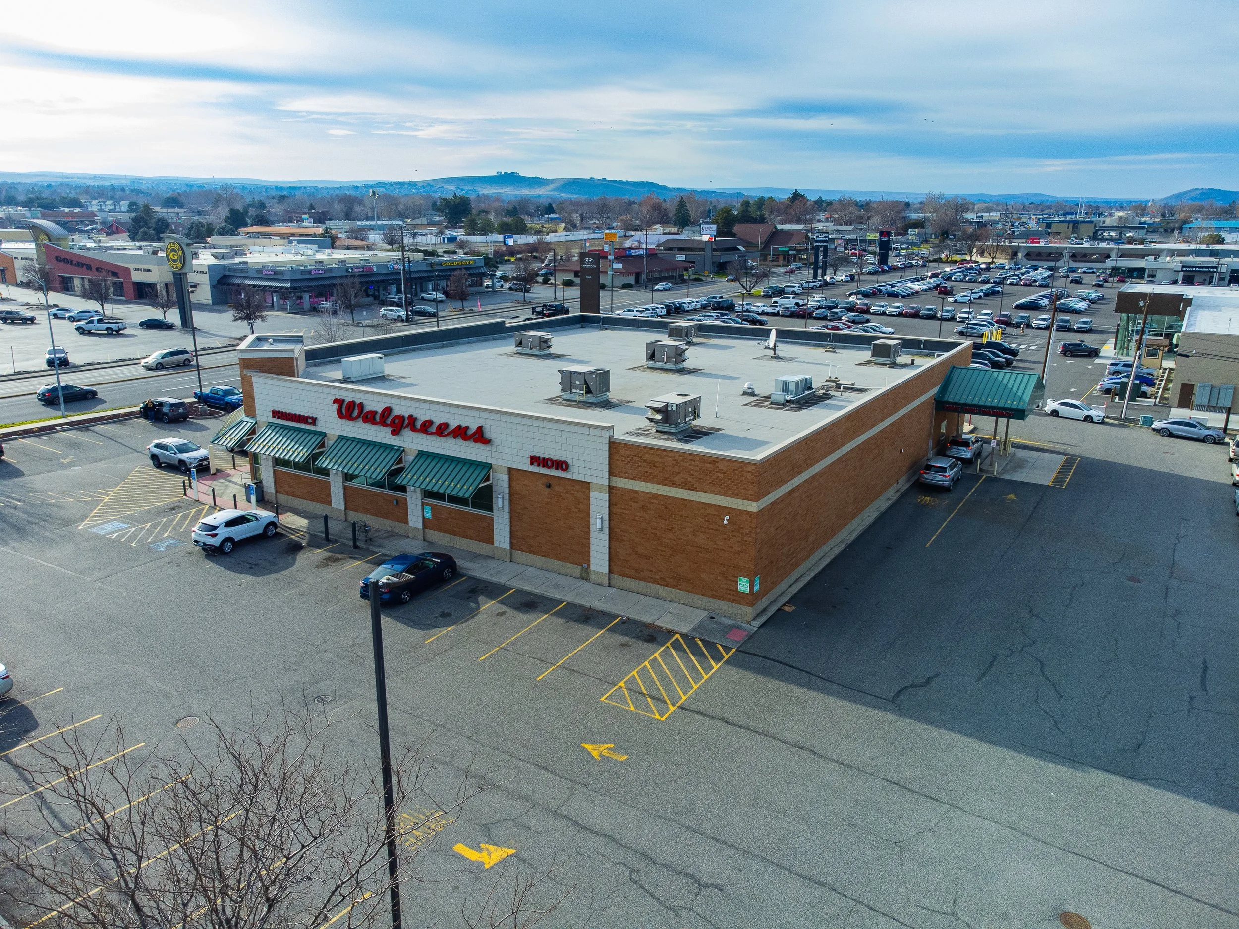 Image 23 of 39
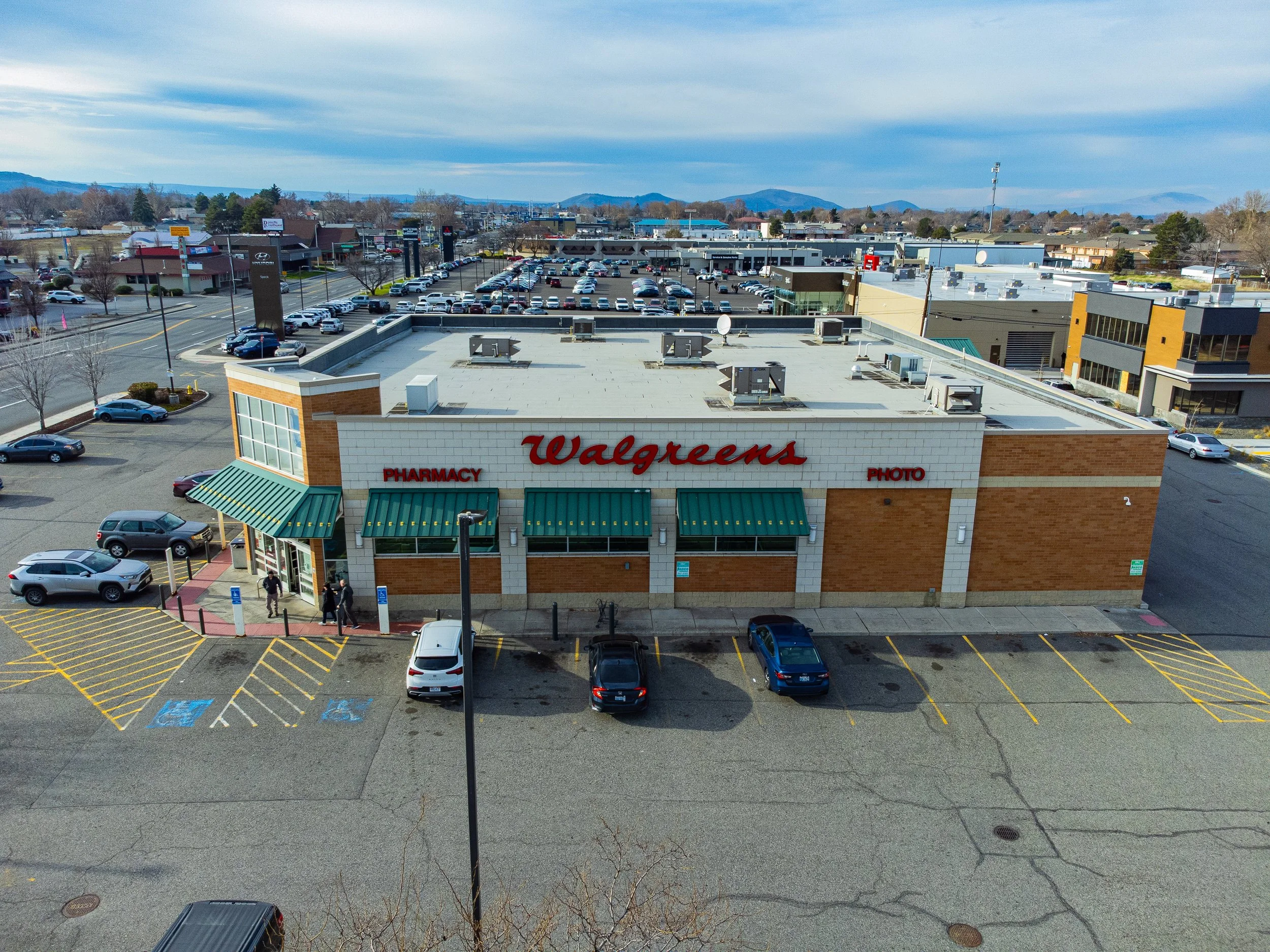 Image 24 of 39
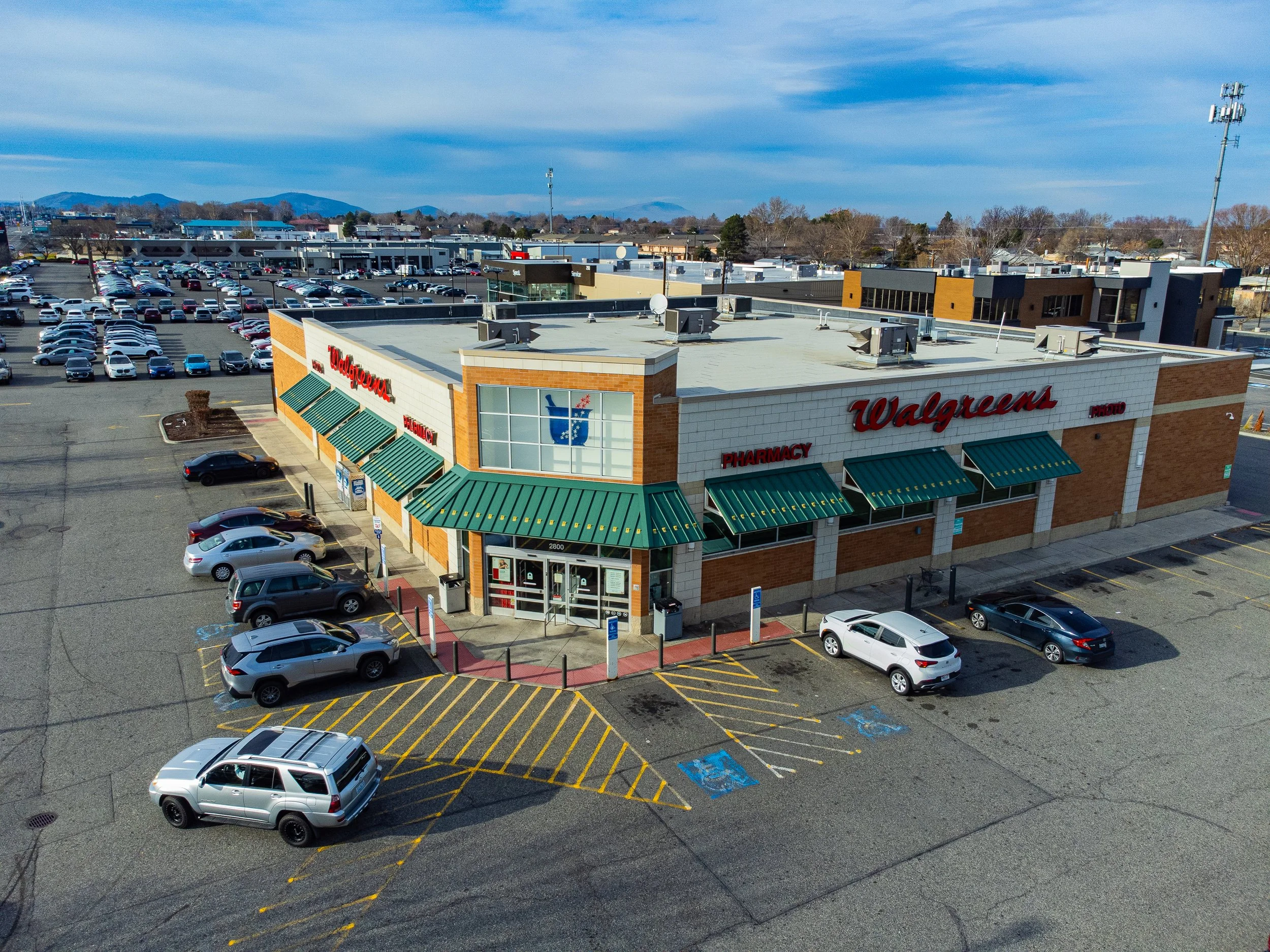 Image 25 of 39
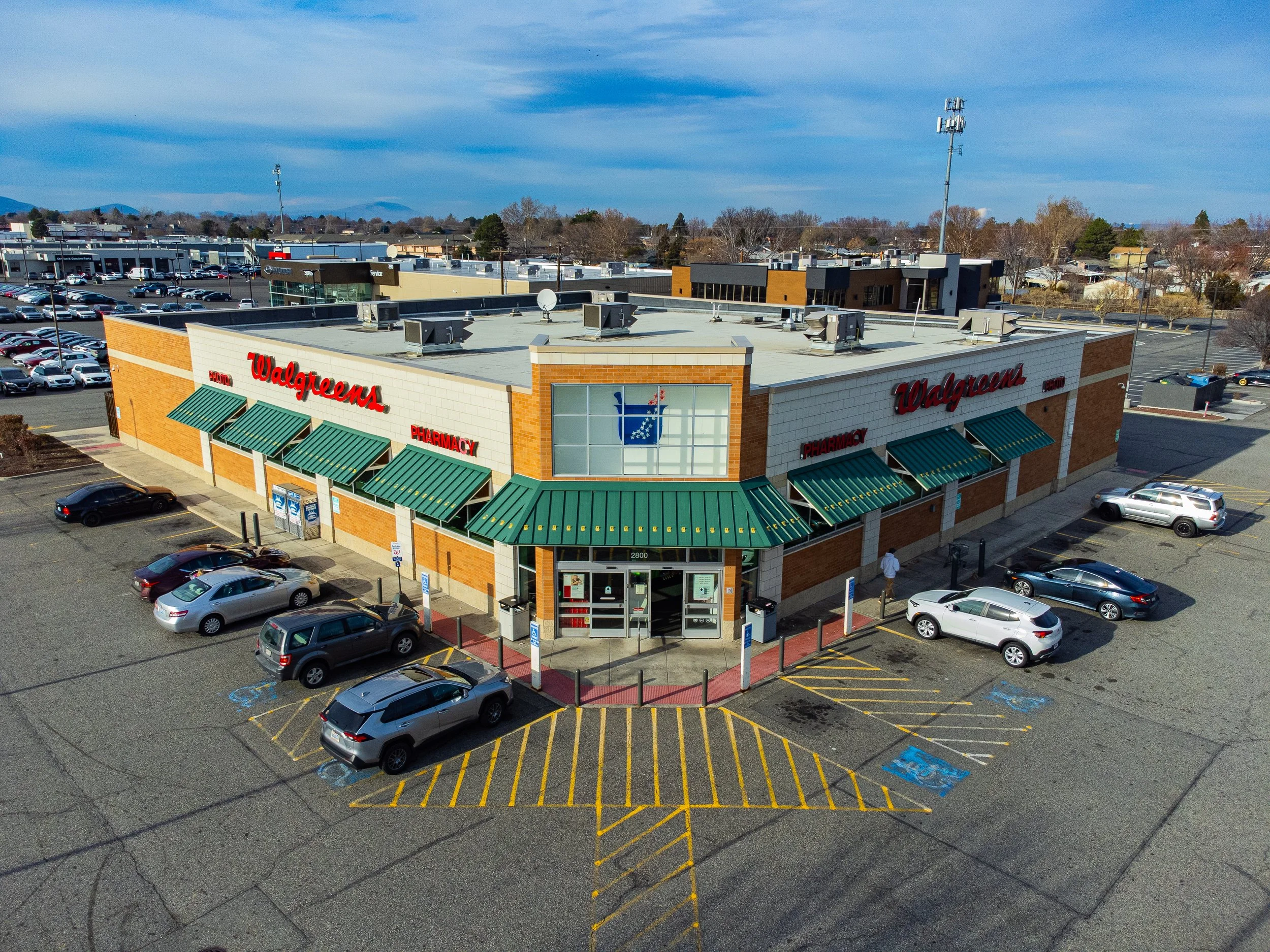 Image 26 of 39
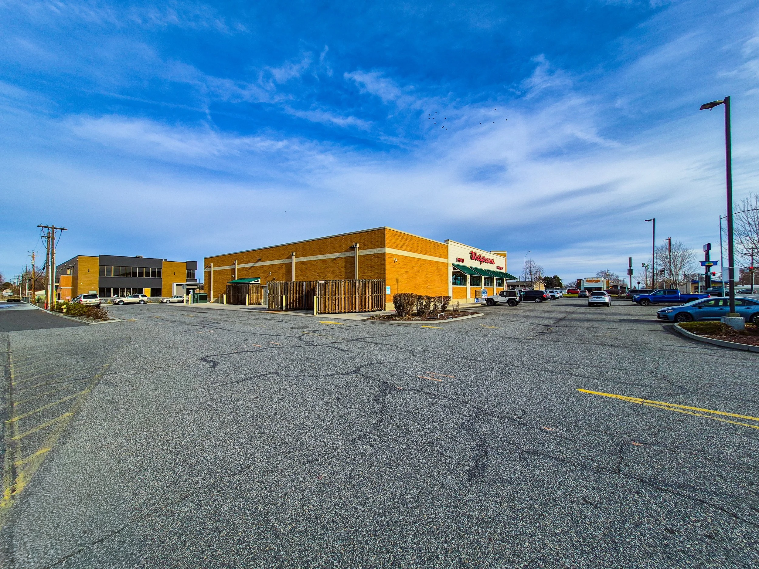 Image 27 of 39
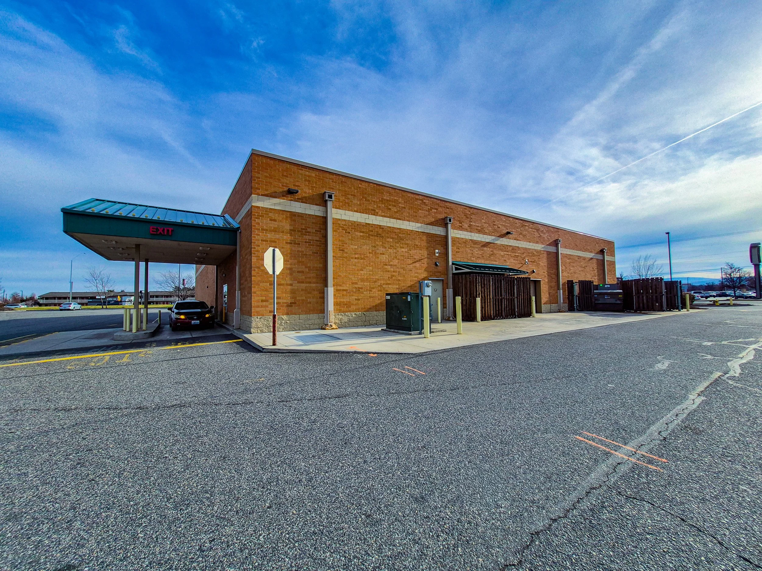 Image 28 of 39
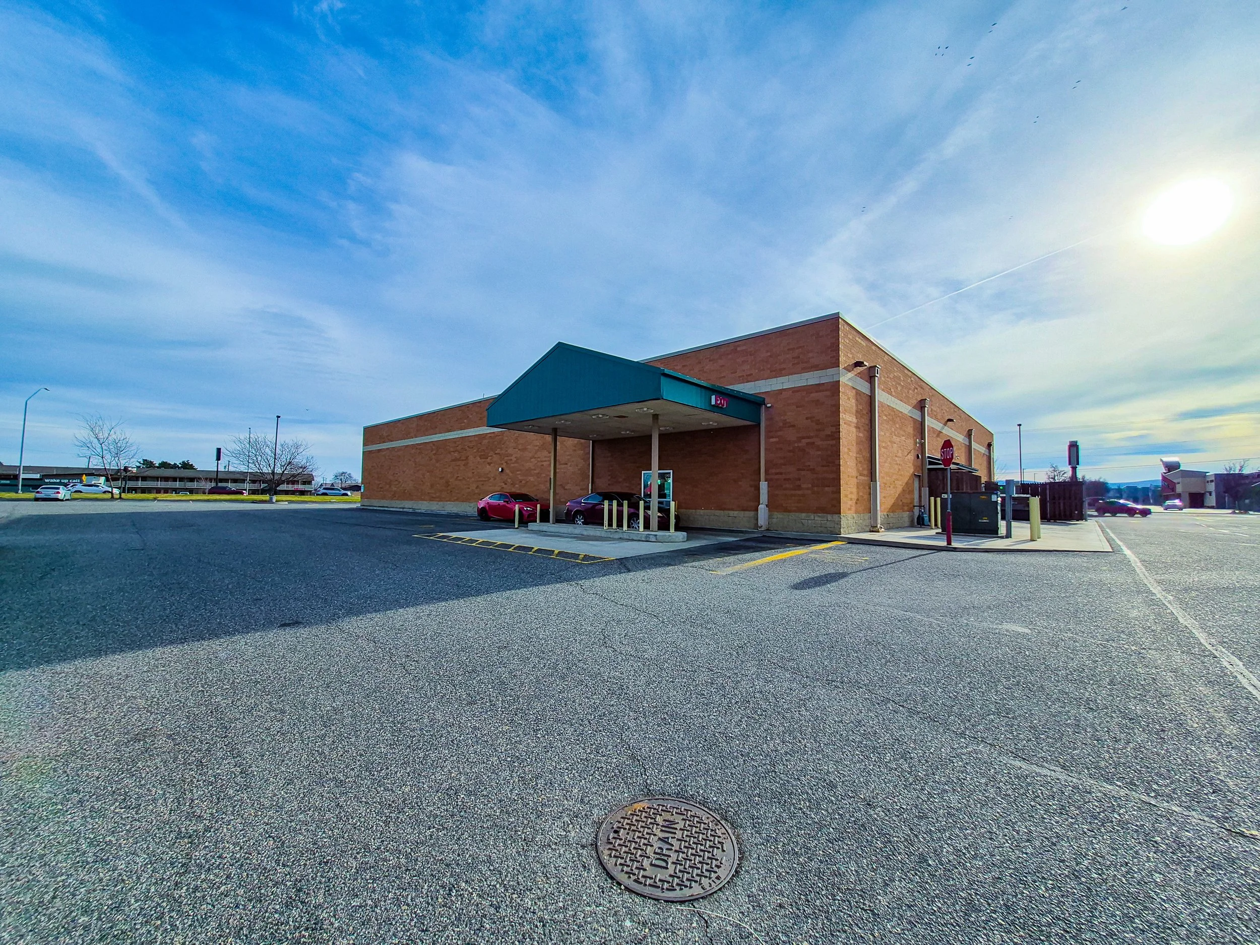 Image 29 of 39
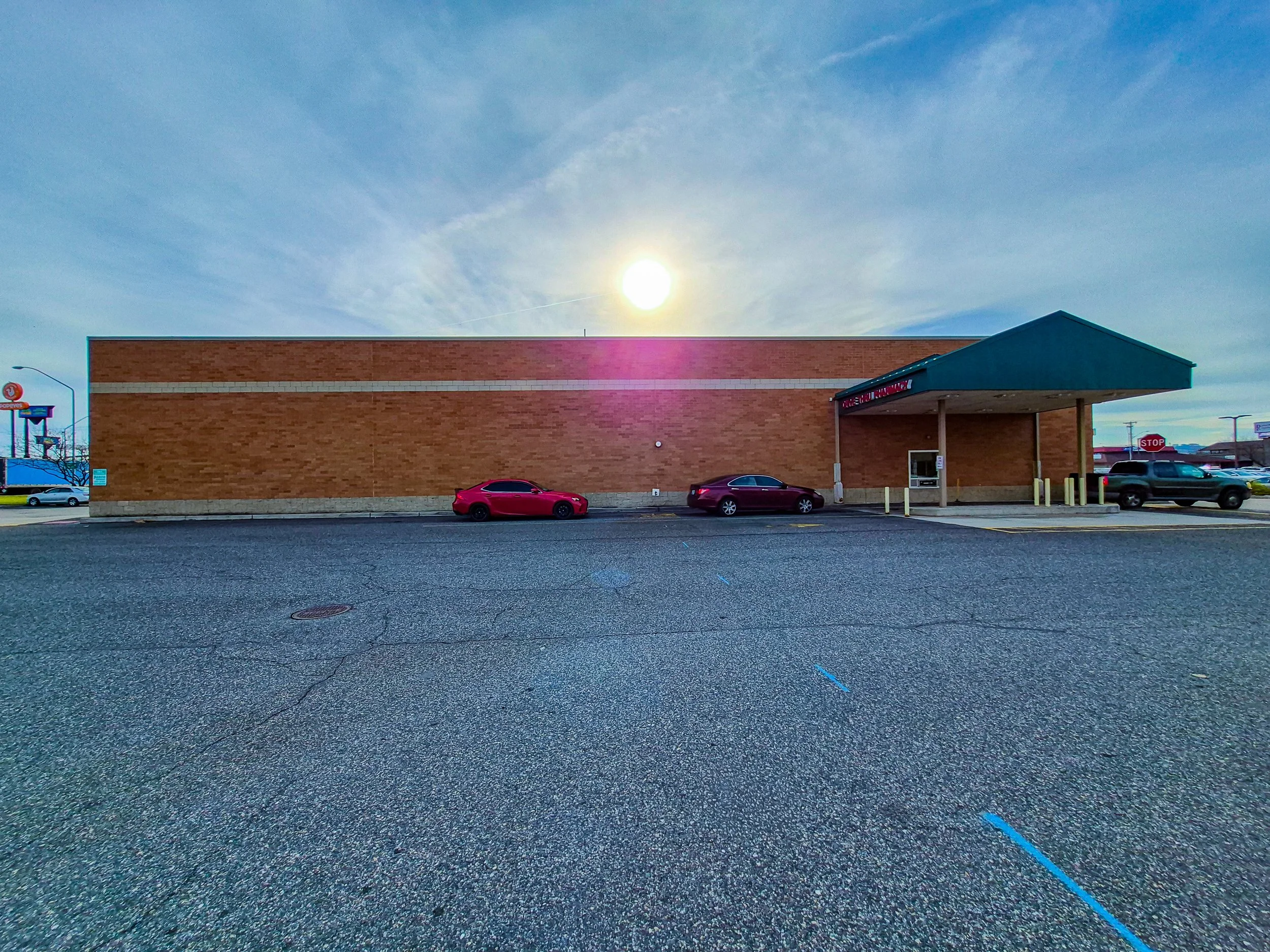 Image 30 of 39
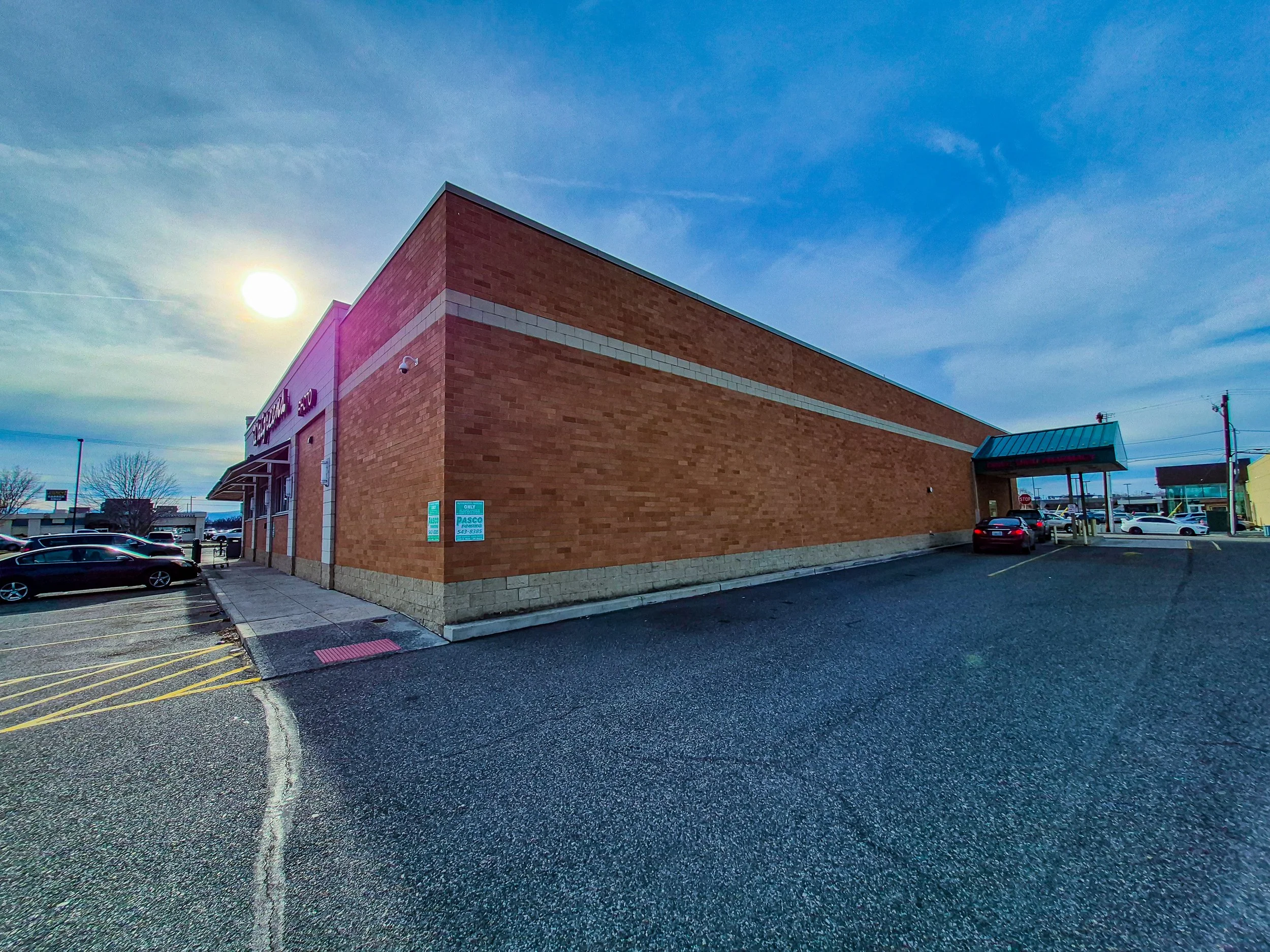 Image 31 of 39
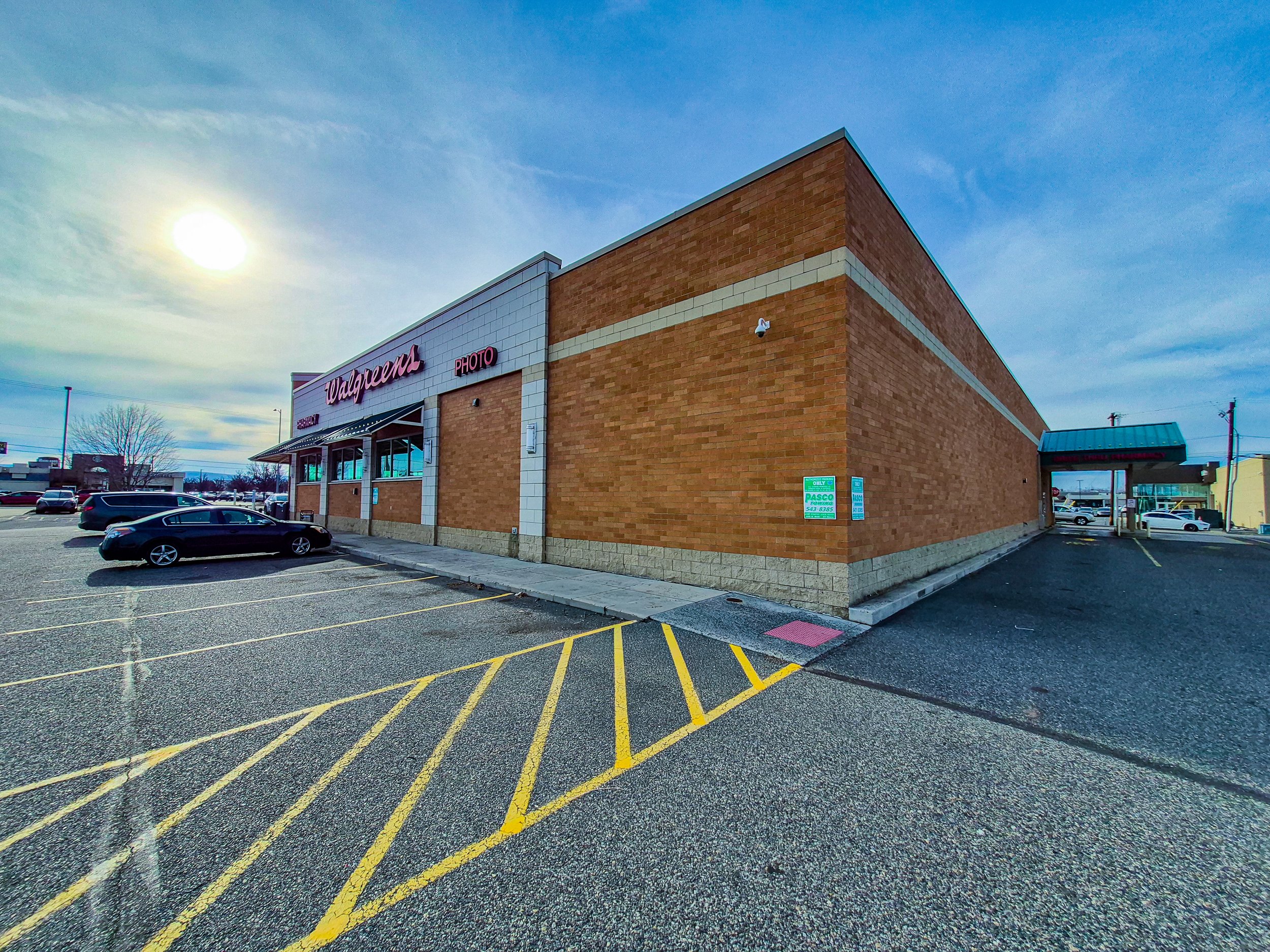 Image 32 of 39
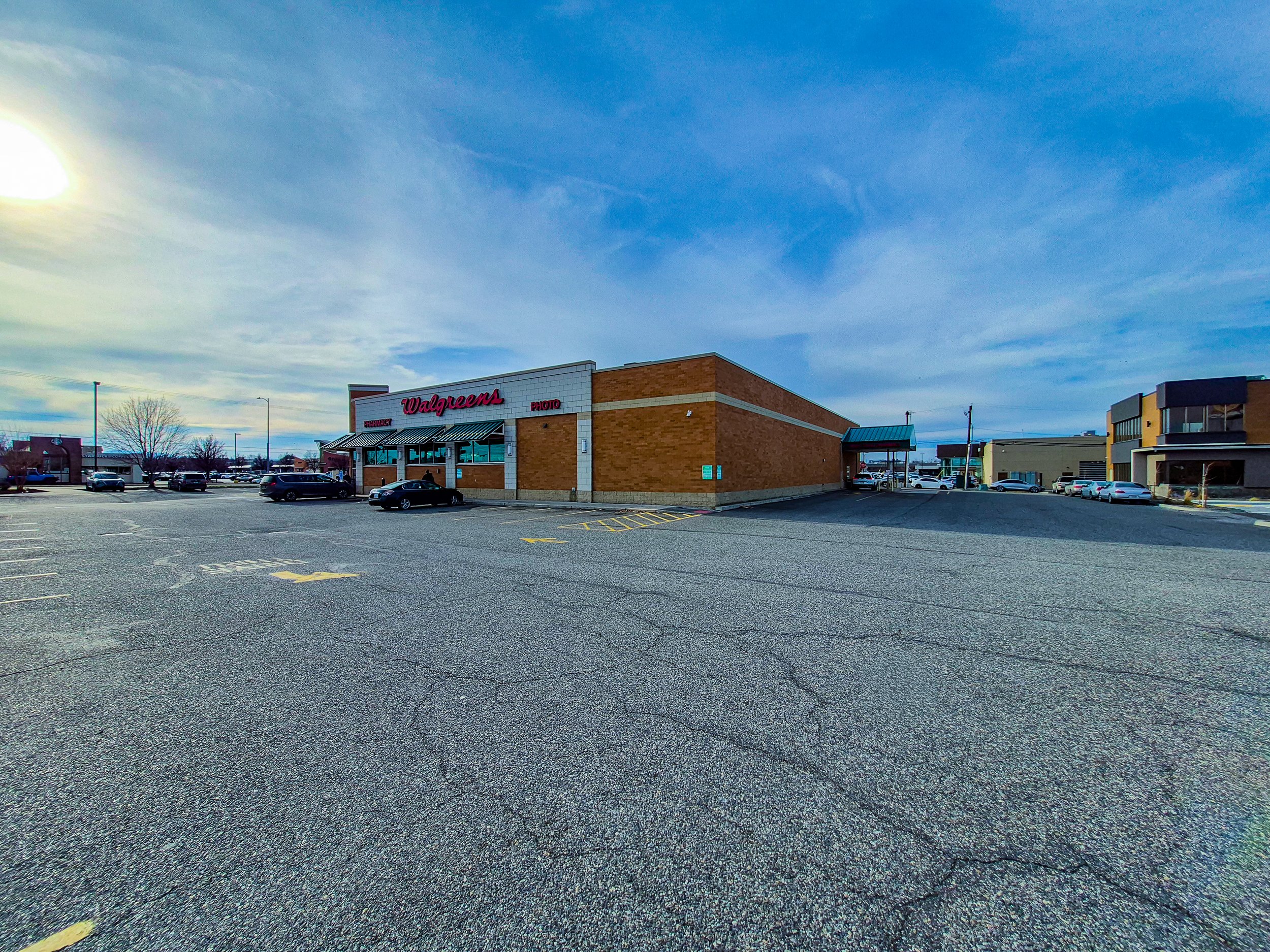 Image 33 of 39
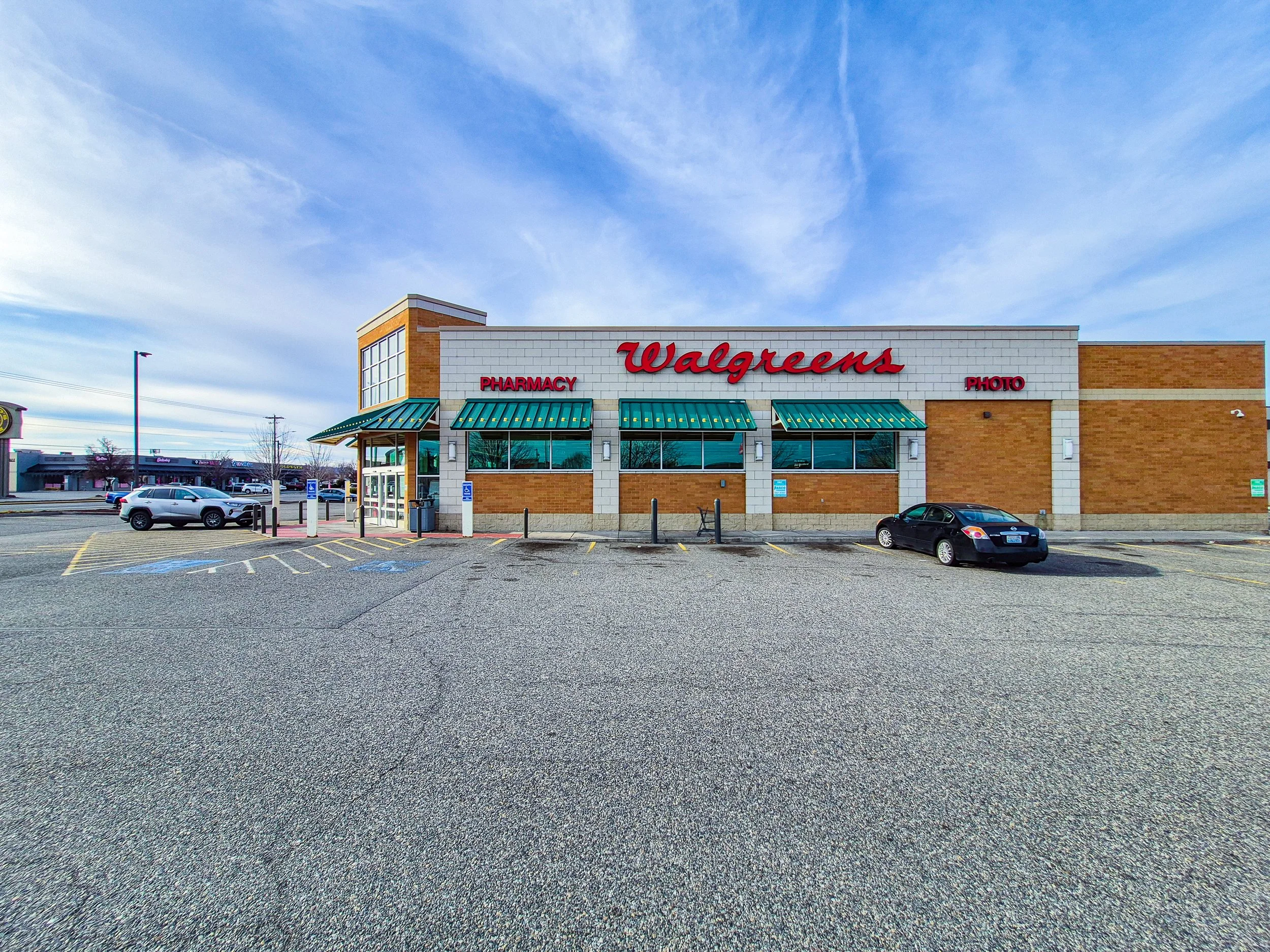 Image 34 of 39
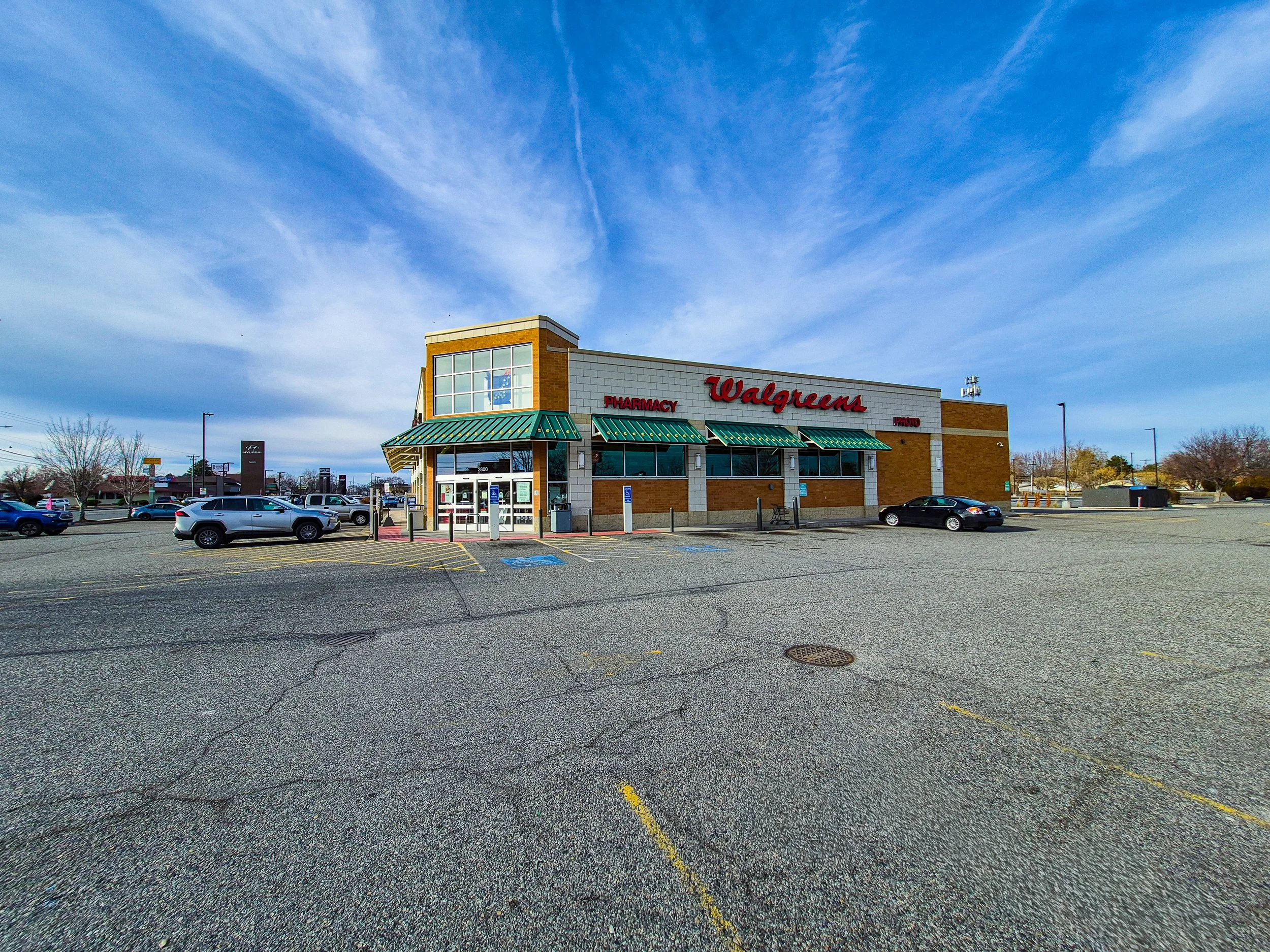 Image 35 of 39
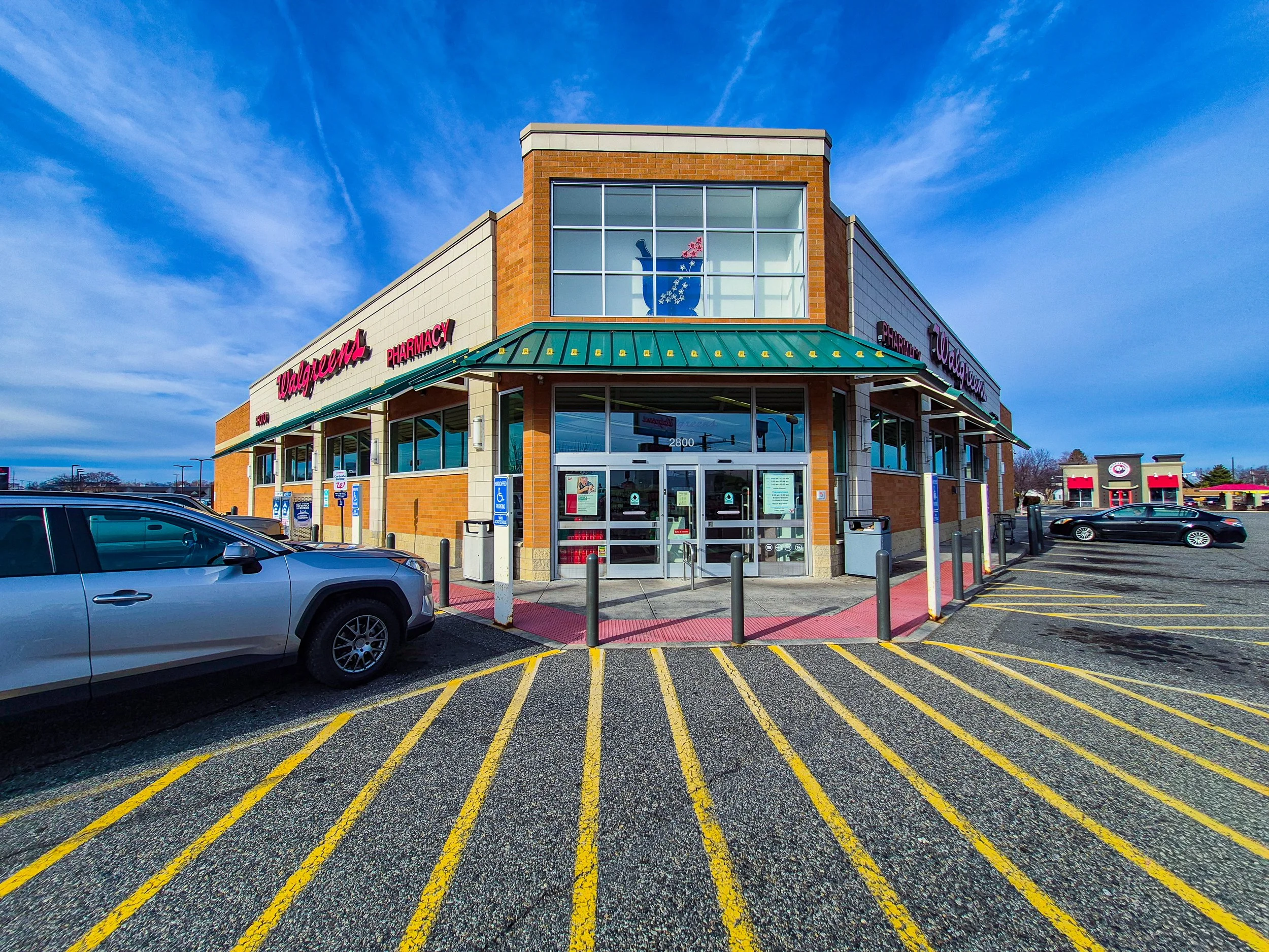 Image 36 of 39
 Image 37 of 39
 Image 38 of 39
 Image 39 of 39
The Standard Package includes:
8 ground-level photos from eight primary directions
4 additional ground-level photos from secondary directions
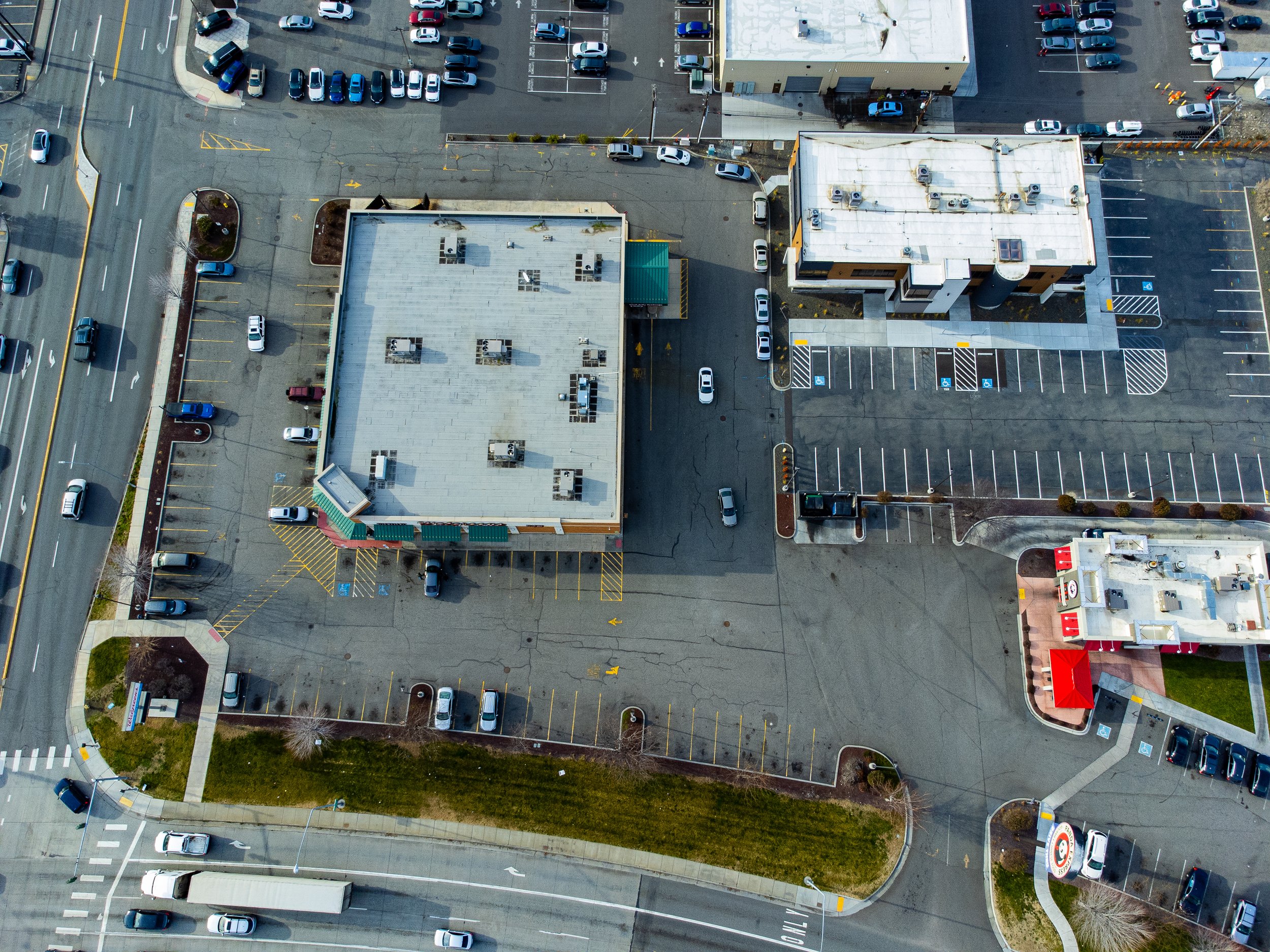
12 aerial photos from twelve directions at a subject-focused altitude
12 aerial photos from twelve directions at a wider, area-coverage altitude
1 top-down (90°) aerial photo
High-resolution RAW image files
2 standard drone videos captured at two different altitude levels
All still images are provided in RAW format to retain maximum image data and enable flexible post-processing.
This package is designed to provide a more complete visual overview of the property by combining subject-focused and environment-focused aerial perspectives.
Due to site-specific conditions such as access limitations, safety considerations, physical obstructions, or airspace regulations, certain vantage points may not be available during the aerial session.
In such cases, AeroStudio will provide alternative angles that maintain visual clarity and effectively represent the subject within its surrounding space.