 Image 1 of 18
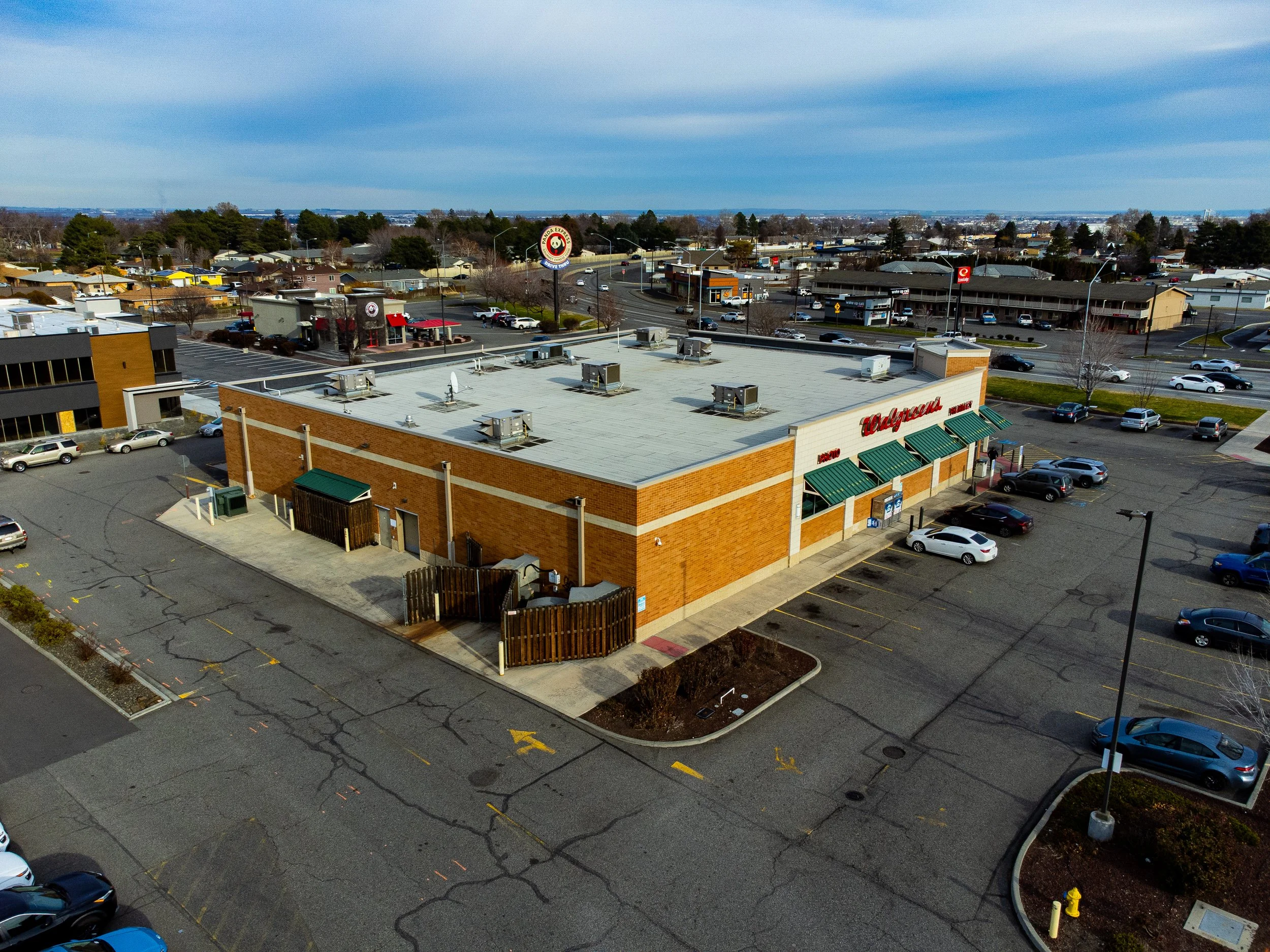 Image 2 of 18
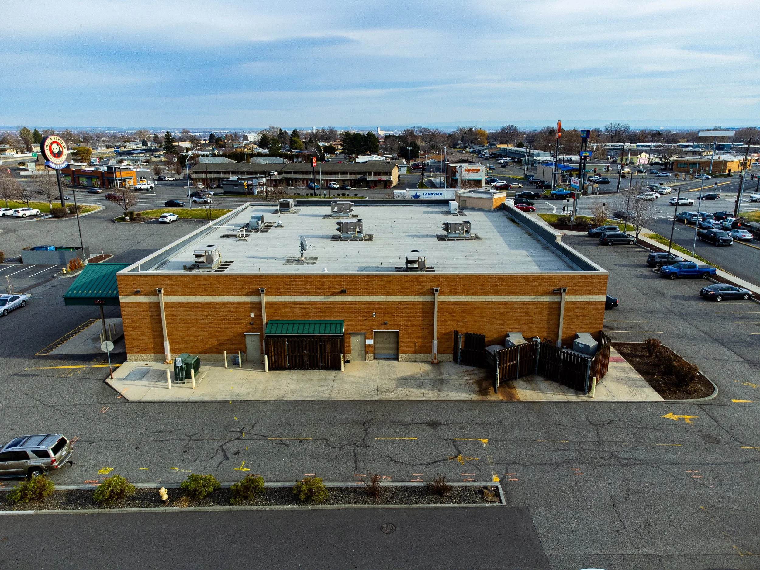 Image 3 of 18
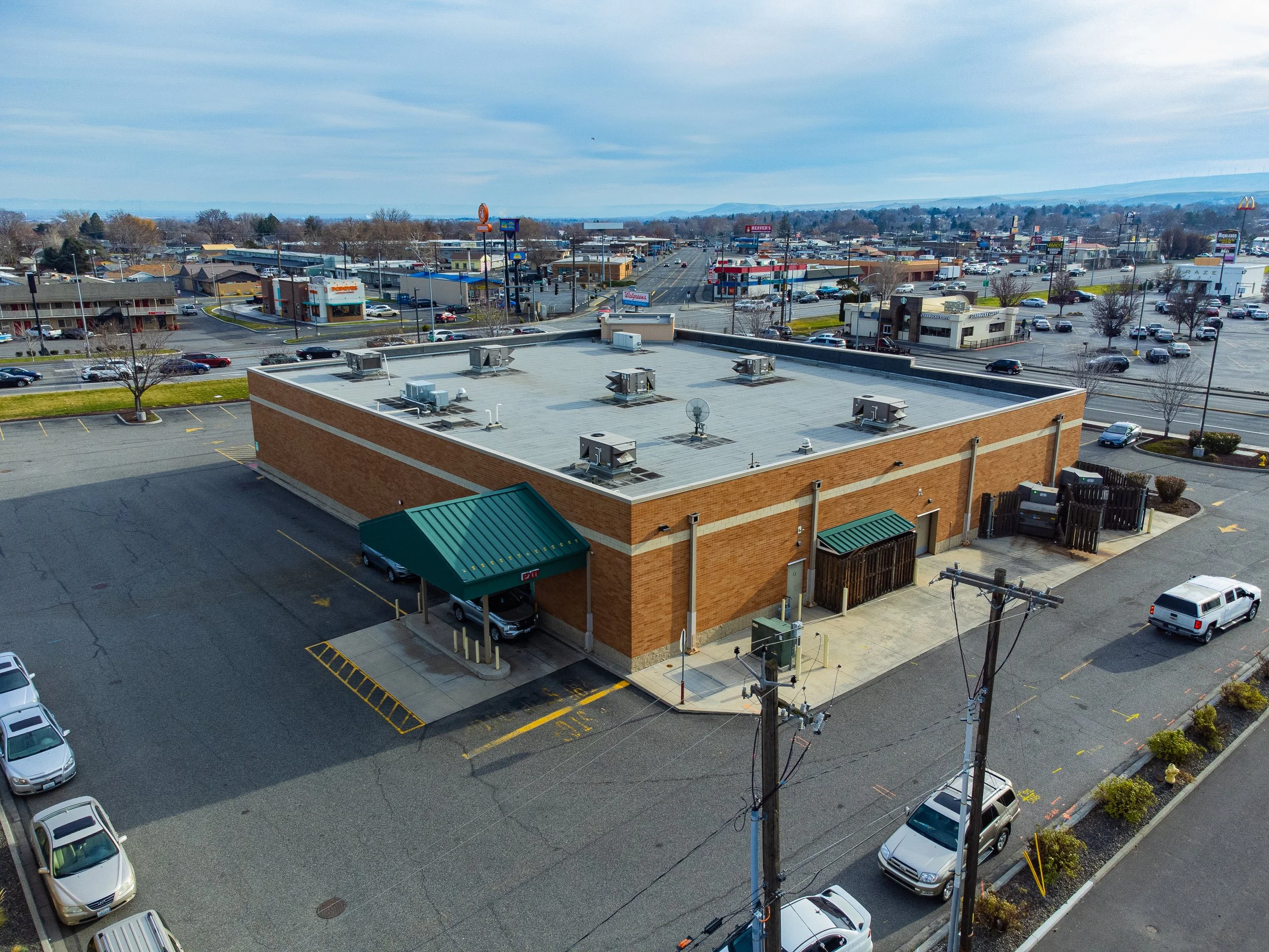 Image 4 of 18
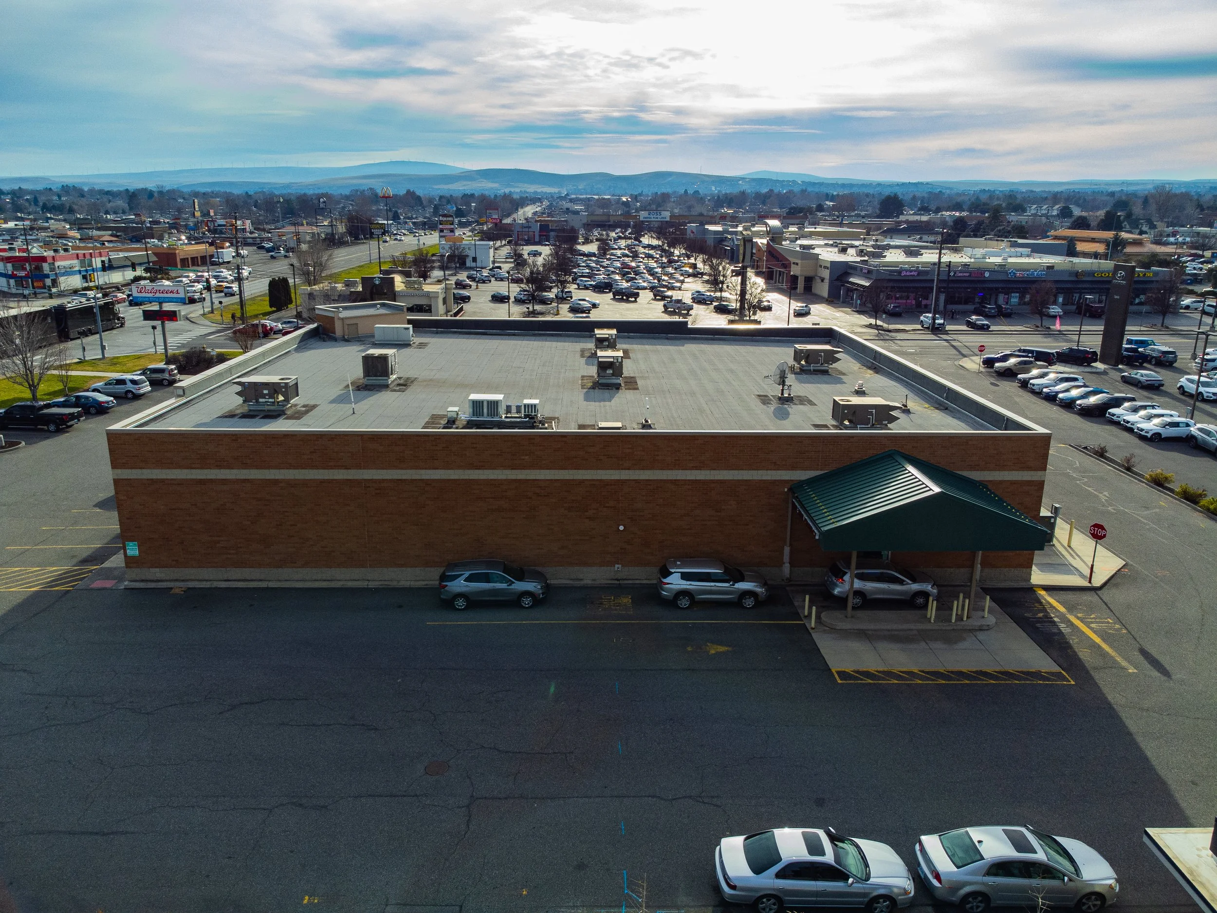 Image 5 of 18
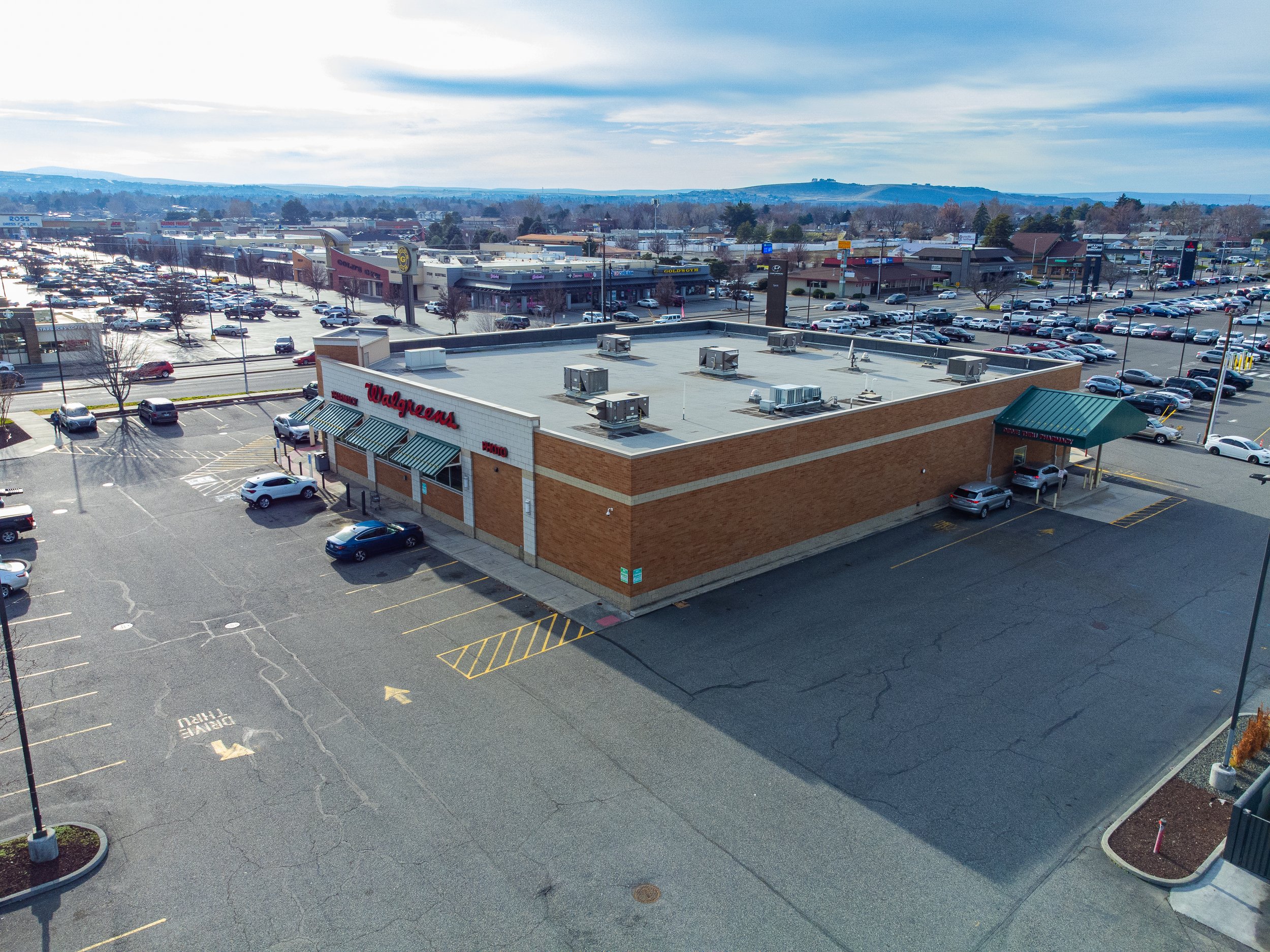 Image 6 of 18
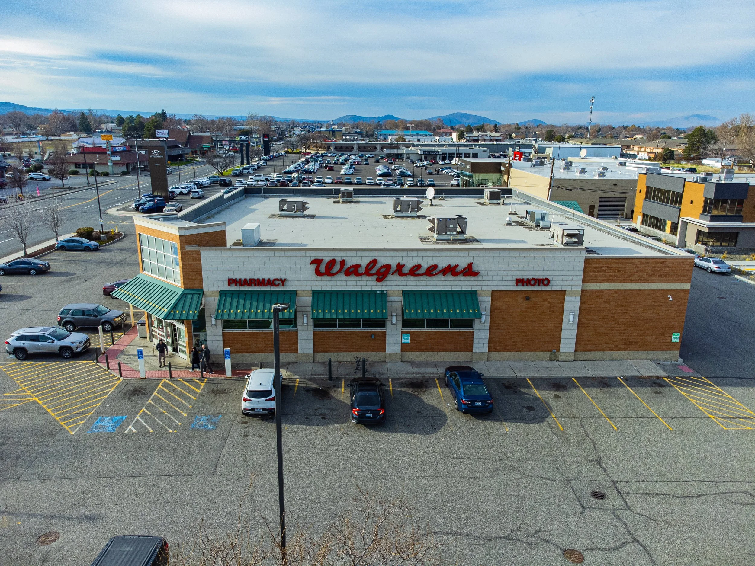 Image 7 of 18
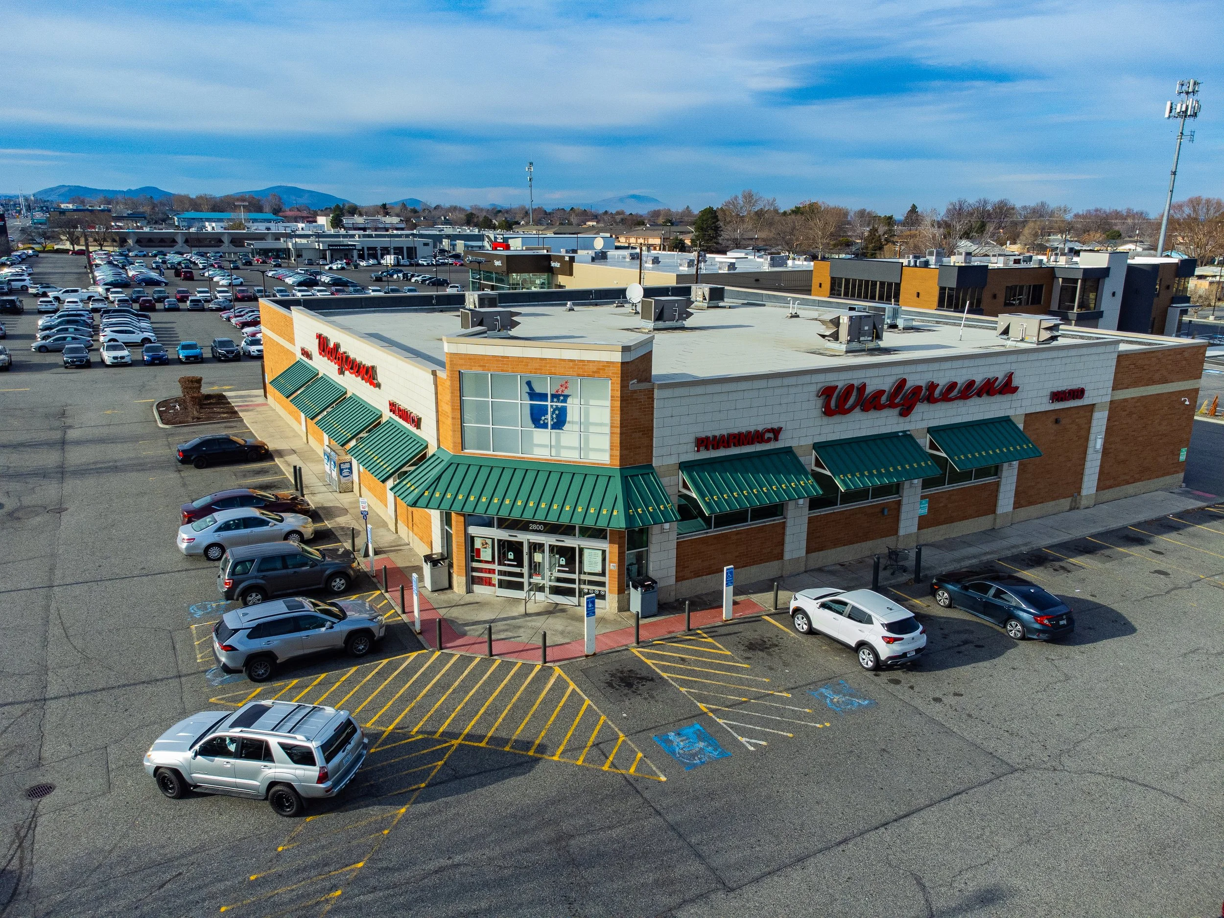 Image 8 of 18
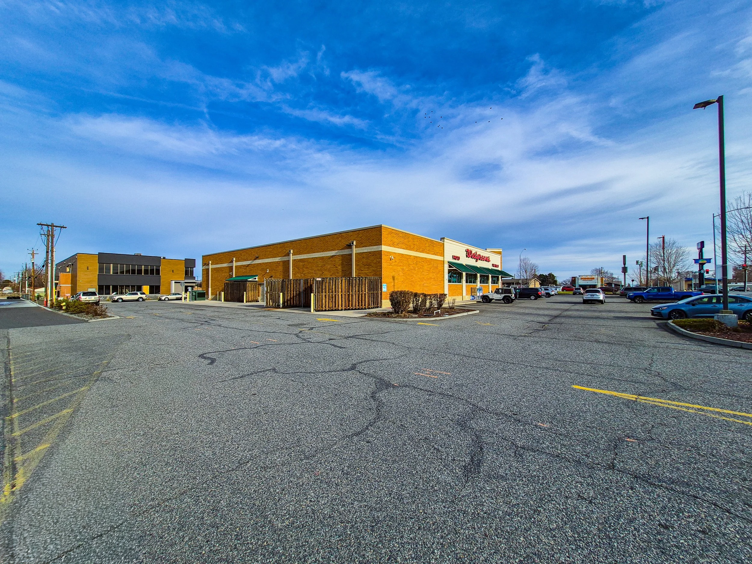 Image 9 of 18
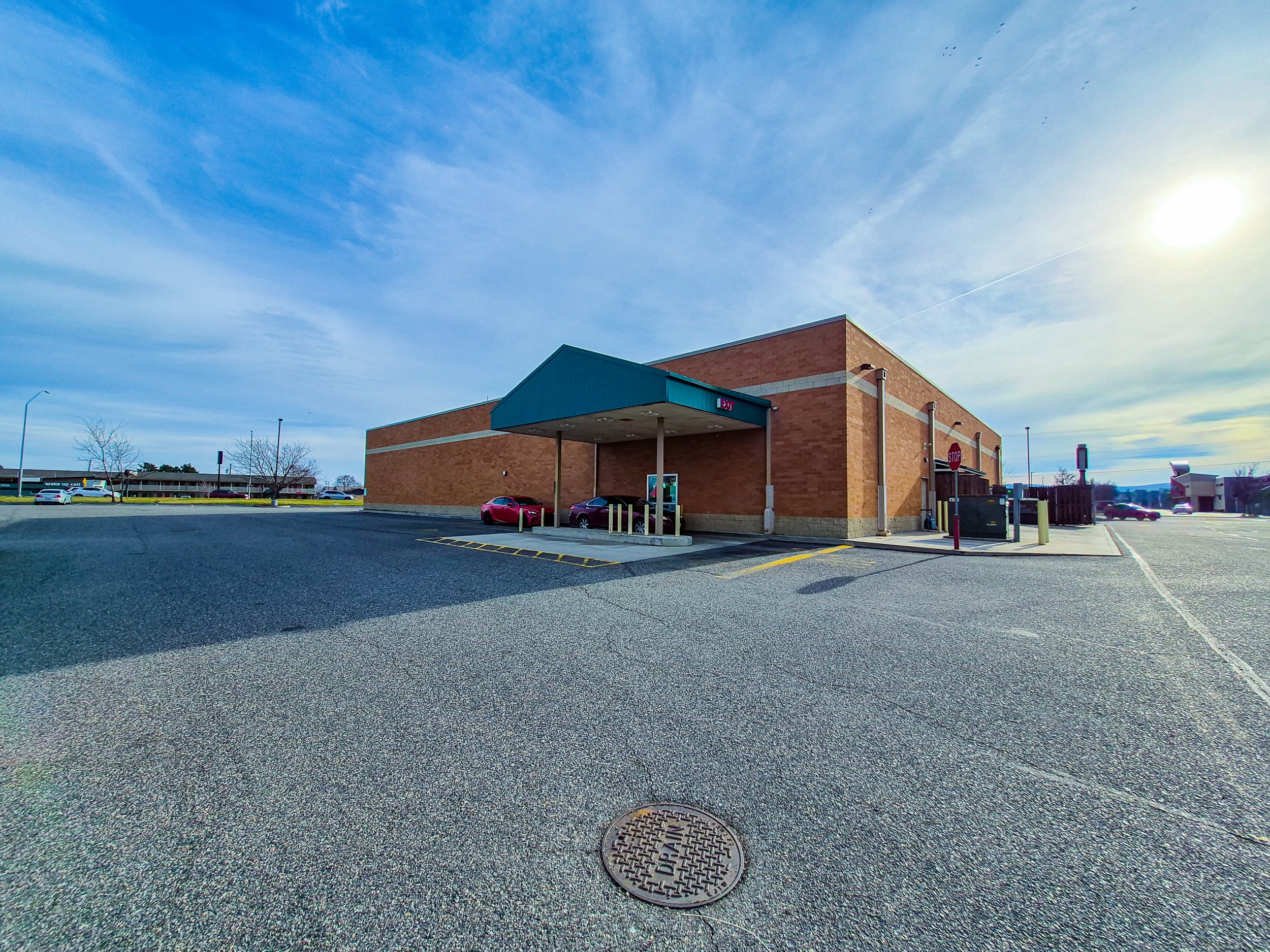 Image 10 of 18
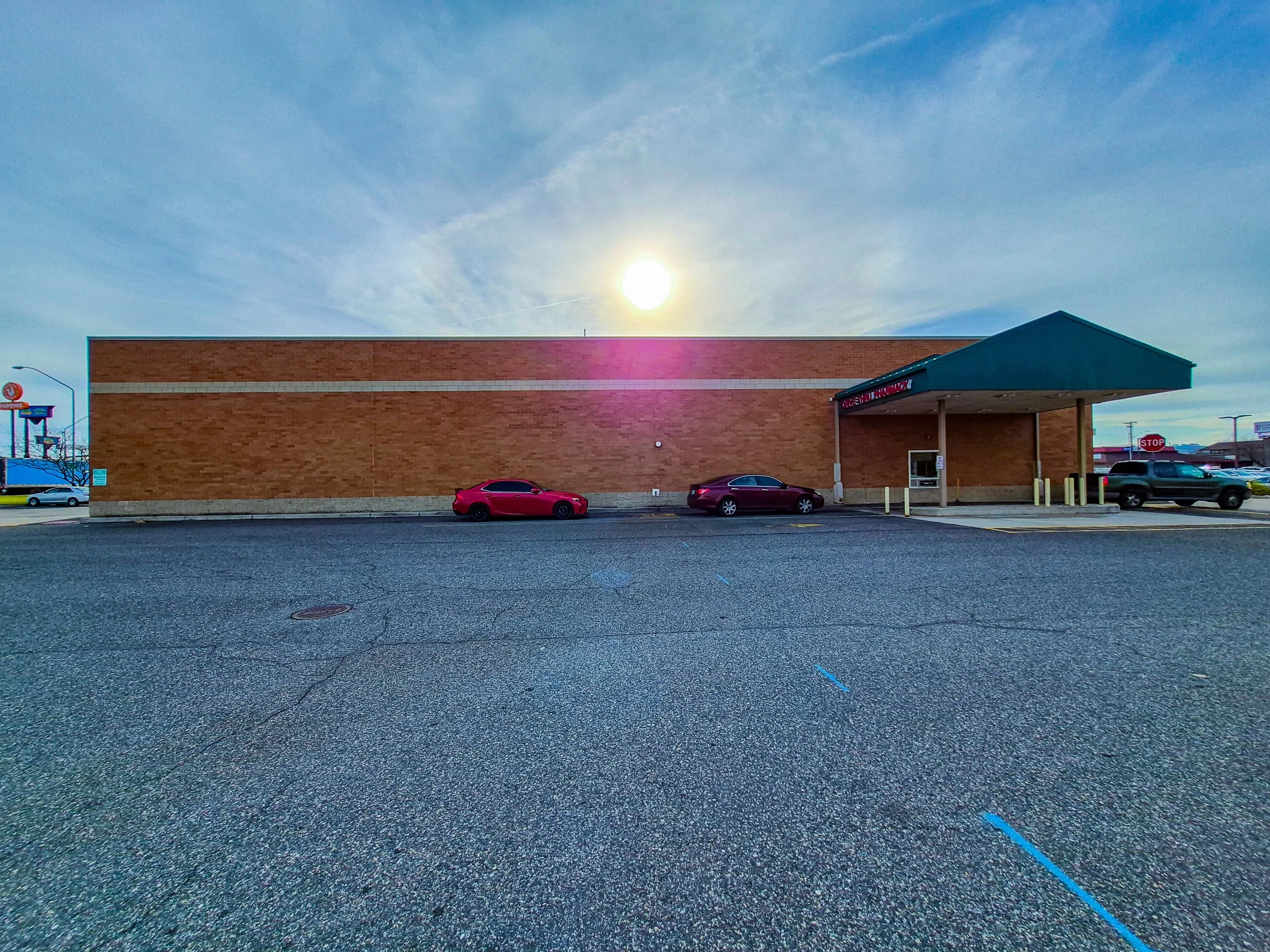 Image 11 of 18
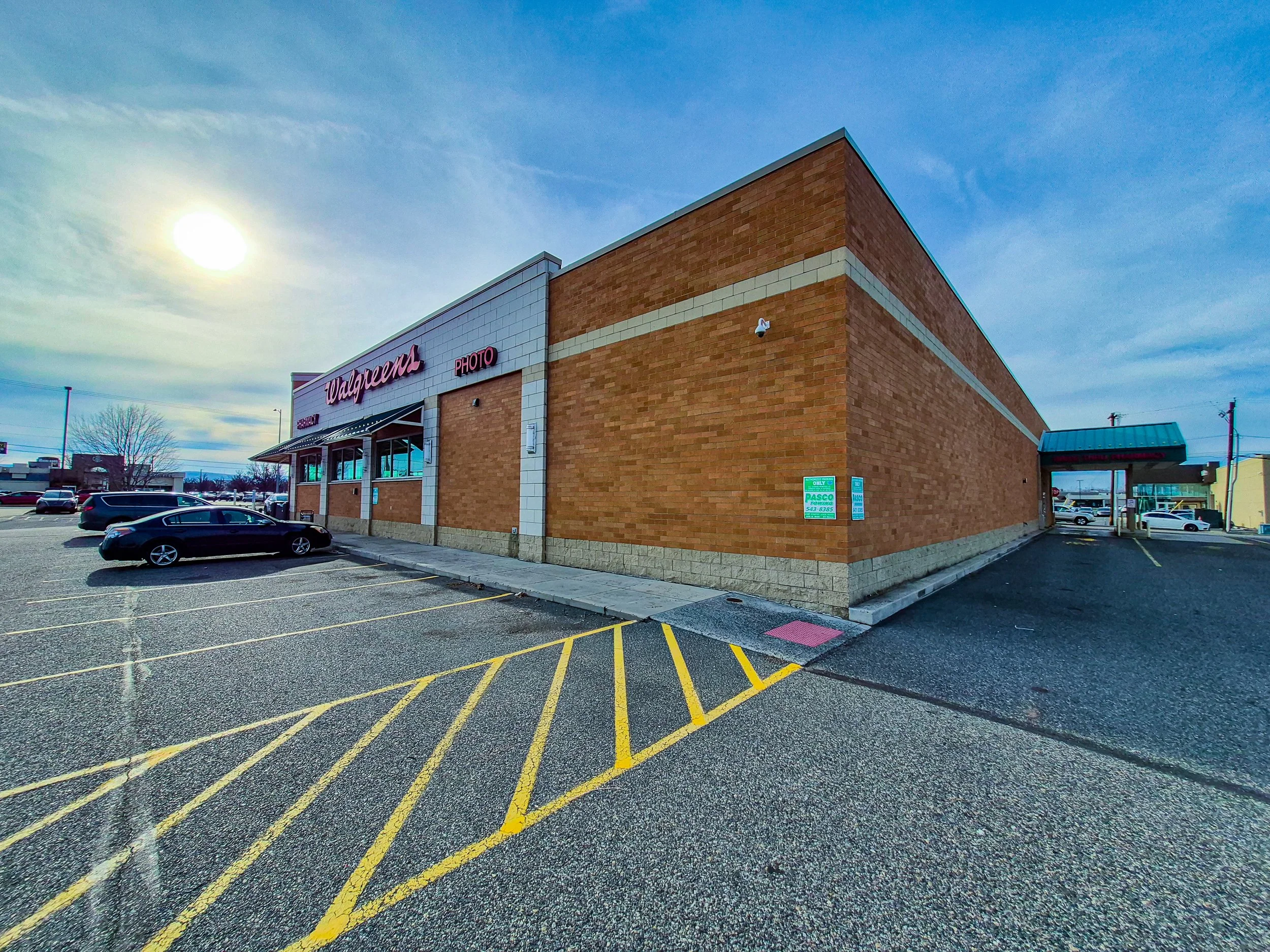 Image 12 of 18
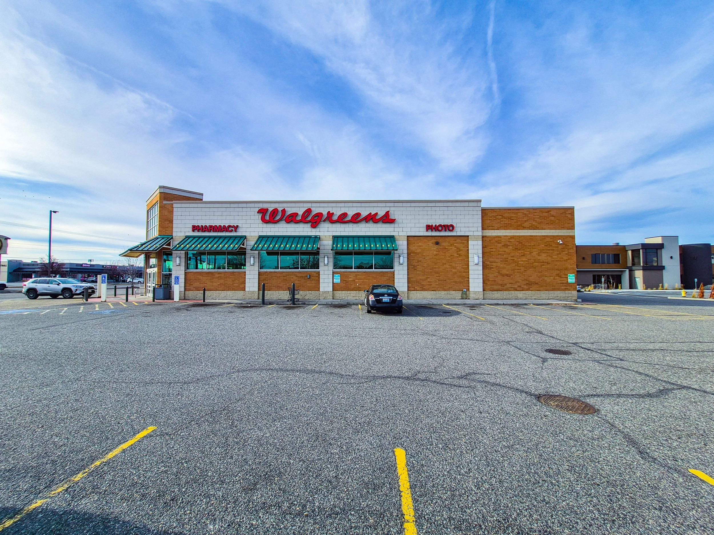 Image 13 of 18
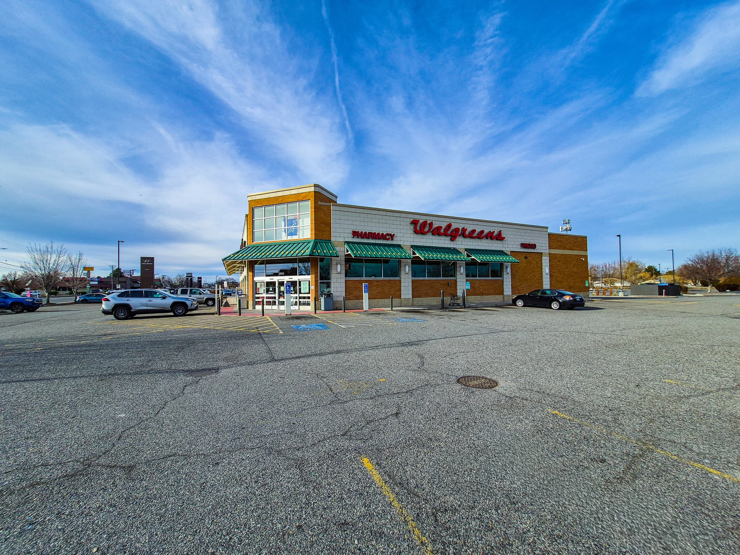 Image 14 of 18
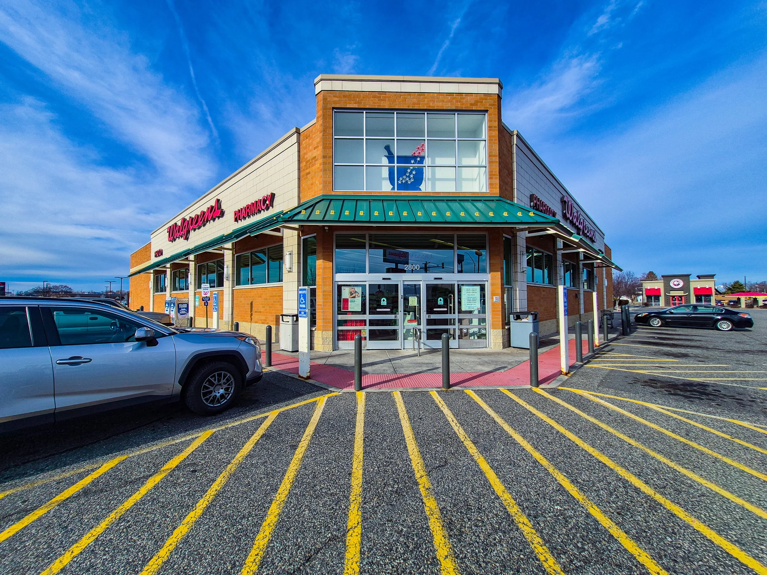 Image 15 of 18
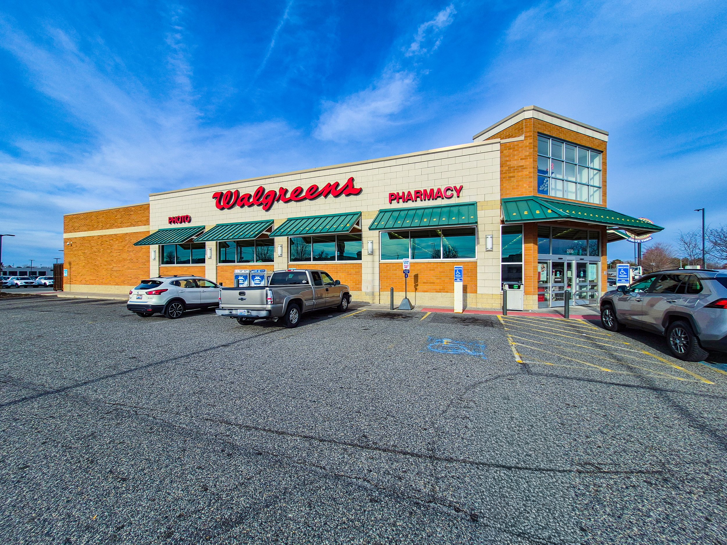 Image 16 of 18
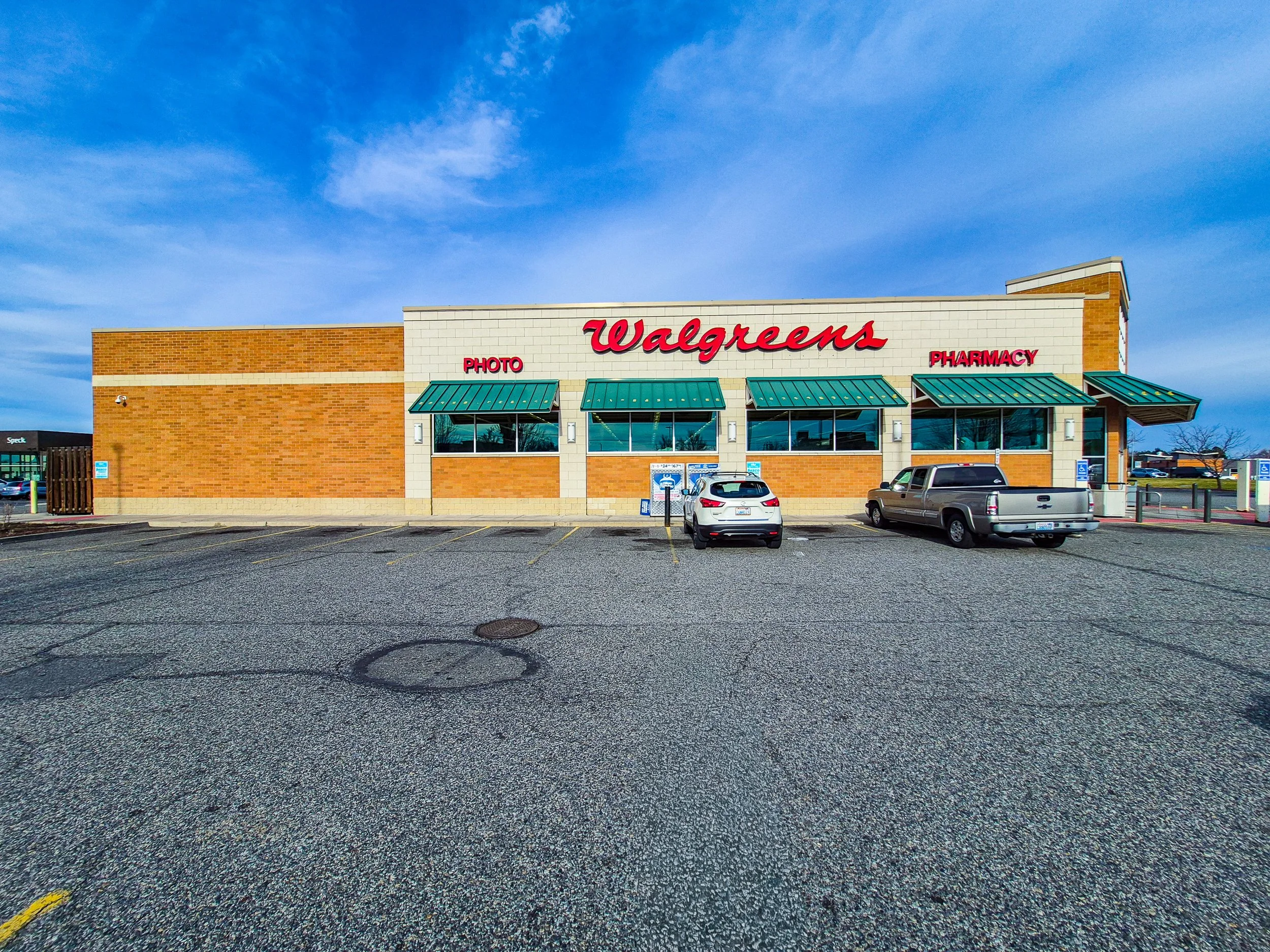 Image 17 of 18
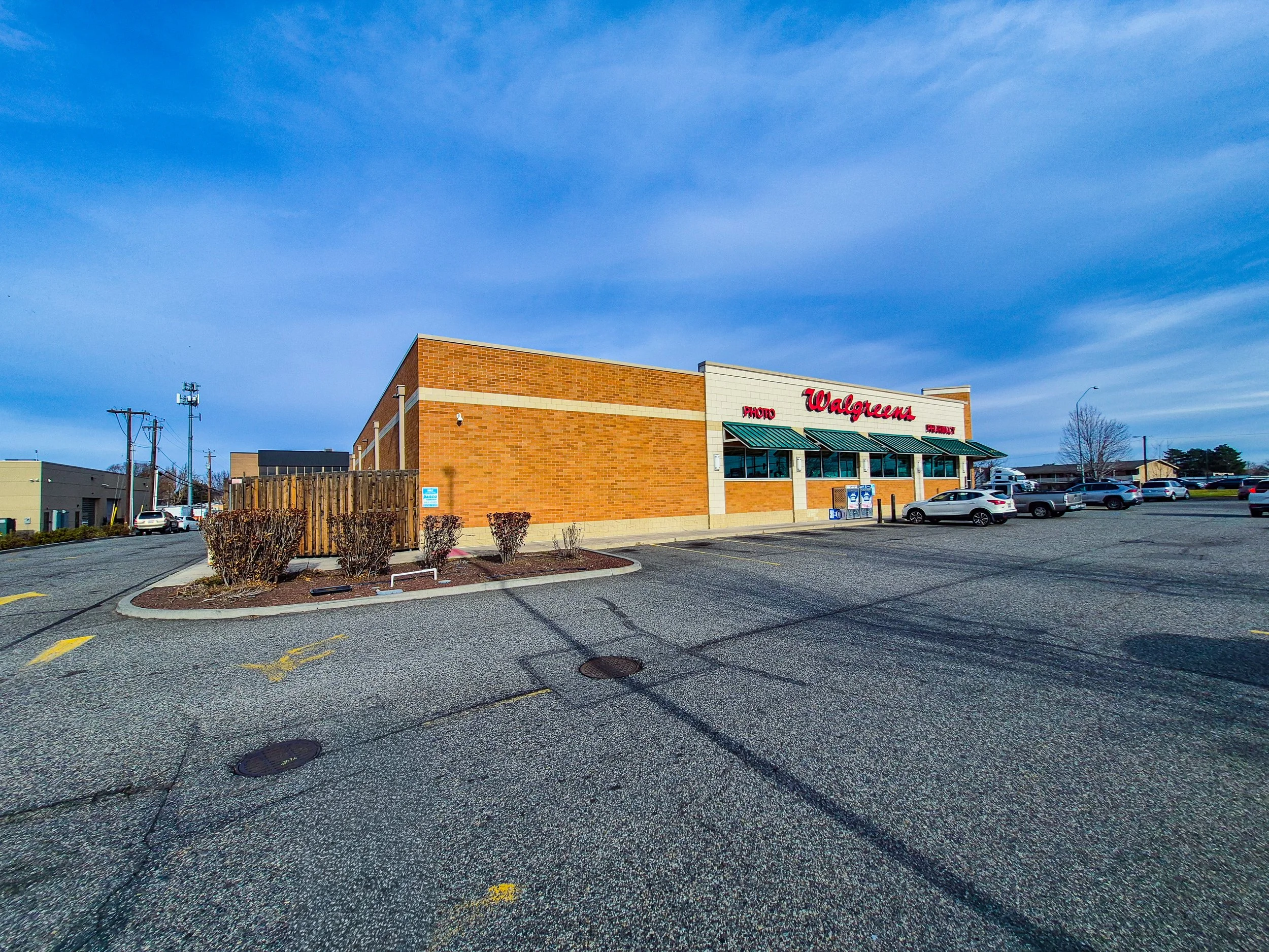 Image 18 of 18
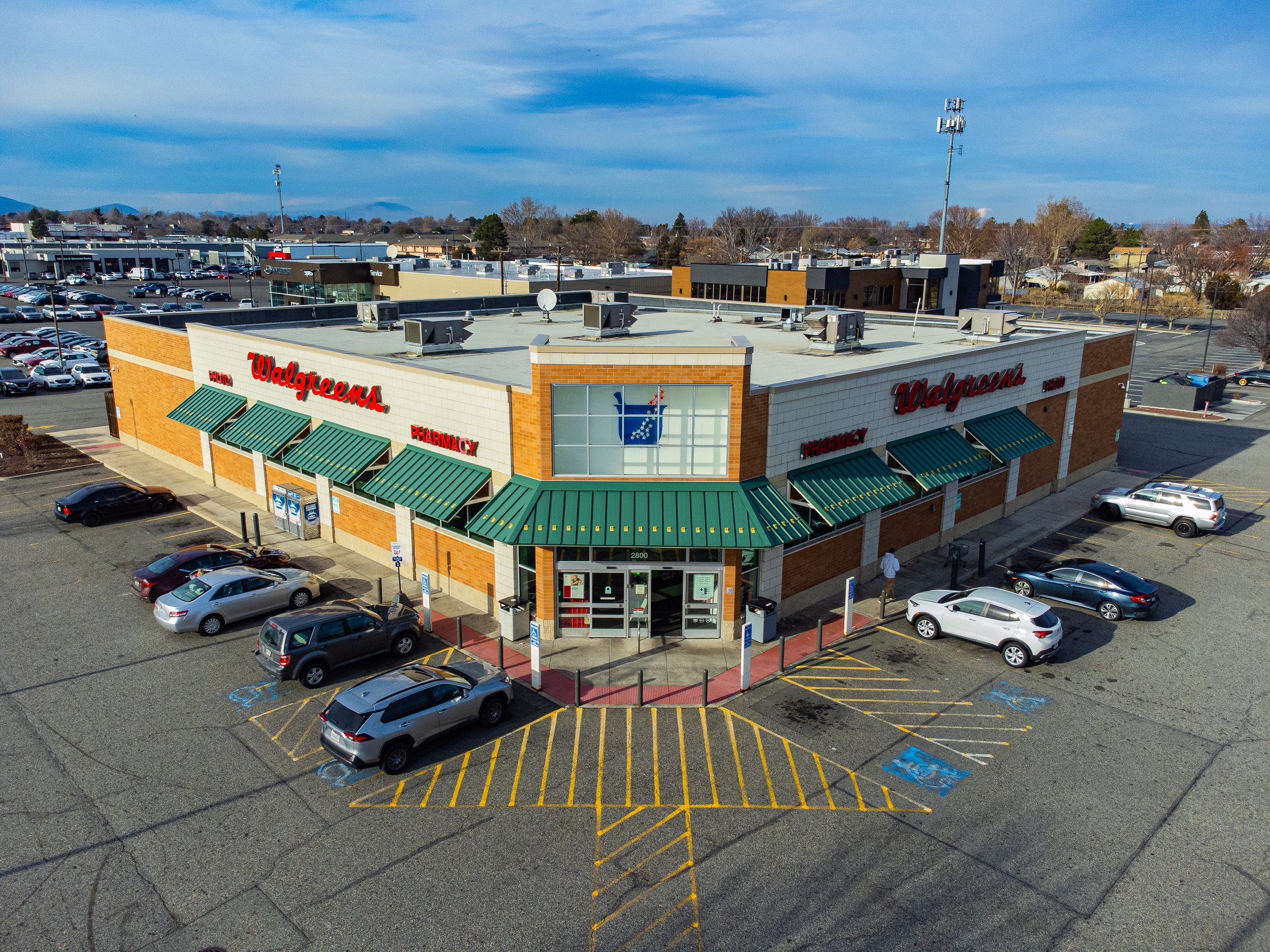
The Basic Package includes:
8 ground-level photos captured from eight primary directions
8 aerial photos captured from eight primary directions, focused on the main subject
High-resolution RAW image files
1 introductory drone video presenting the property from above
All still images are provided in RAW format to retain maximum image data and allow flexible post-processing.
This package is designed to present a clear visual overview of the property through essential vantage points, centered on the primary structure or area of interest.
Due to site-specific conditions such as access limitations, safety considerations, physical obstructions, or airspace regulations, certain vantage points may not be available during the aerial session.
In such cases, AeroStudio will provide alternative angles that maintain visual clarity and effectively represent the subject within its surrounding space.