 Image 1 of 99
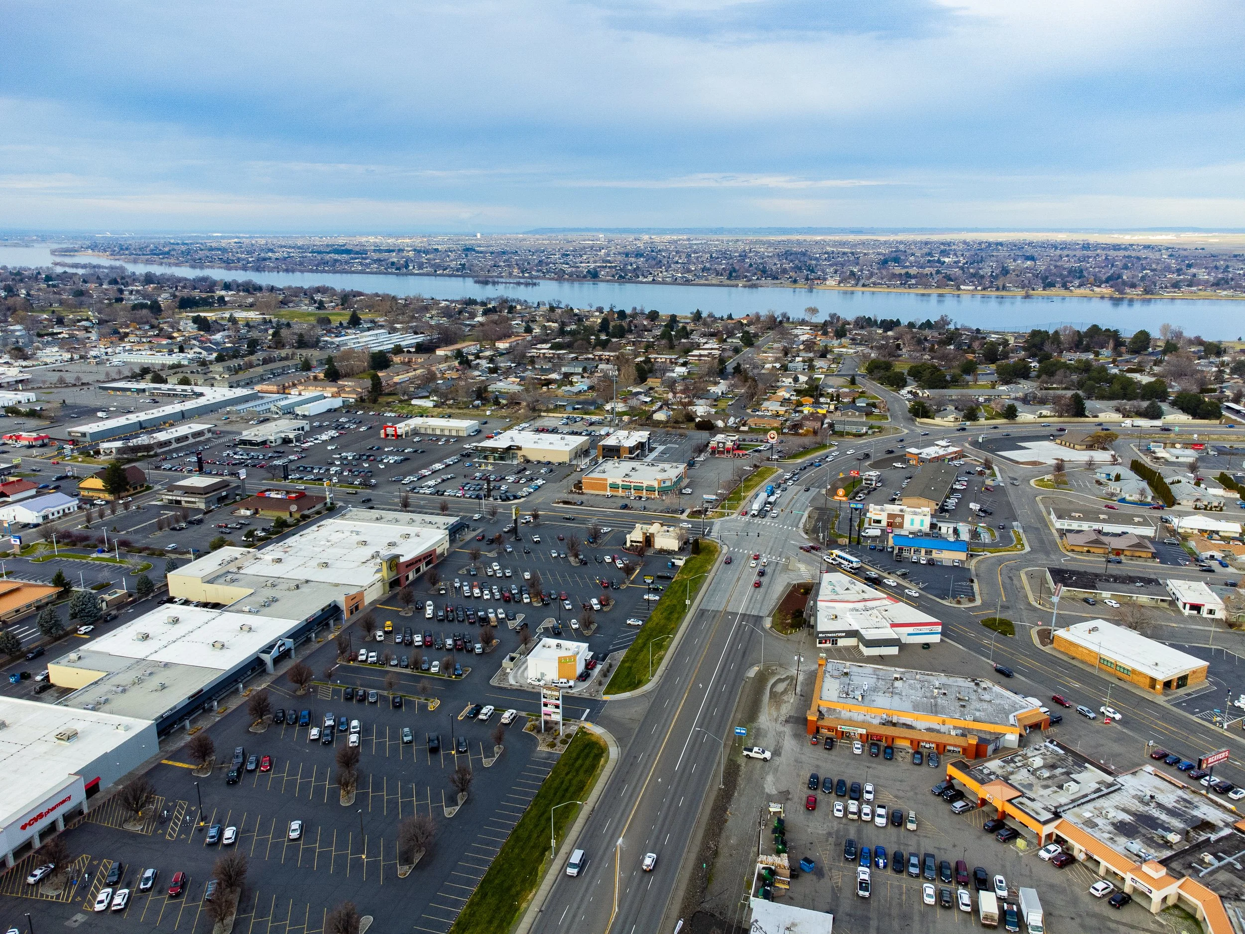 Image 2 of 99
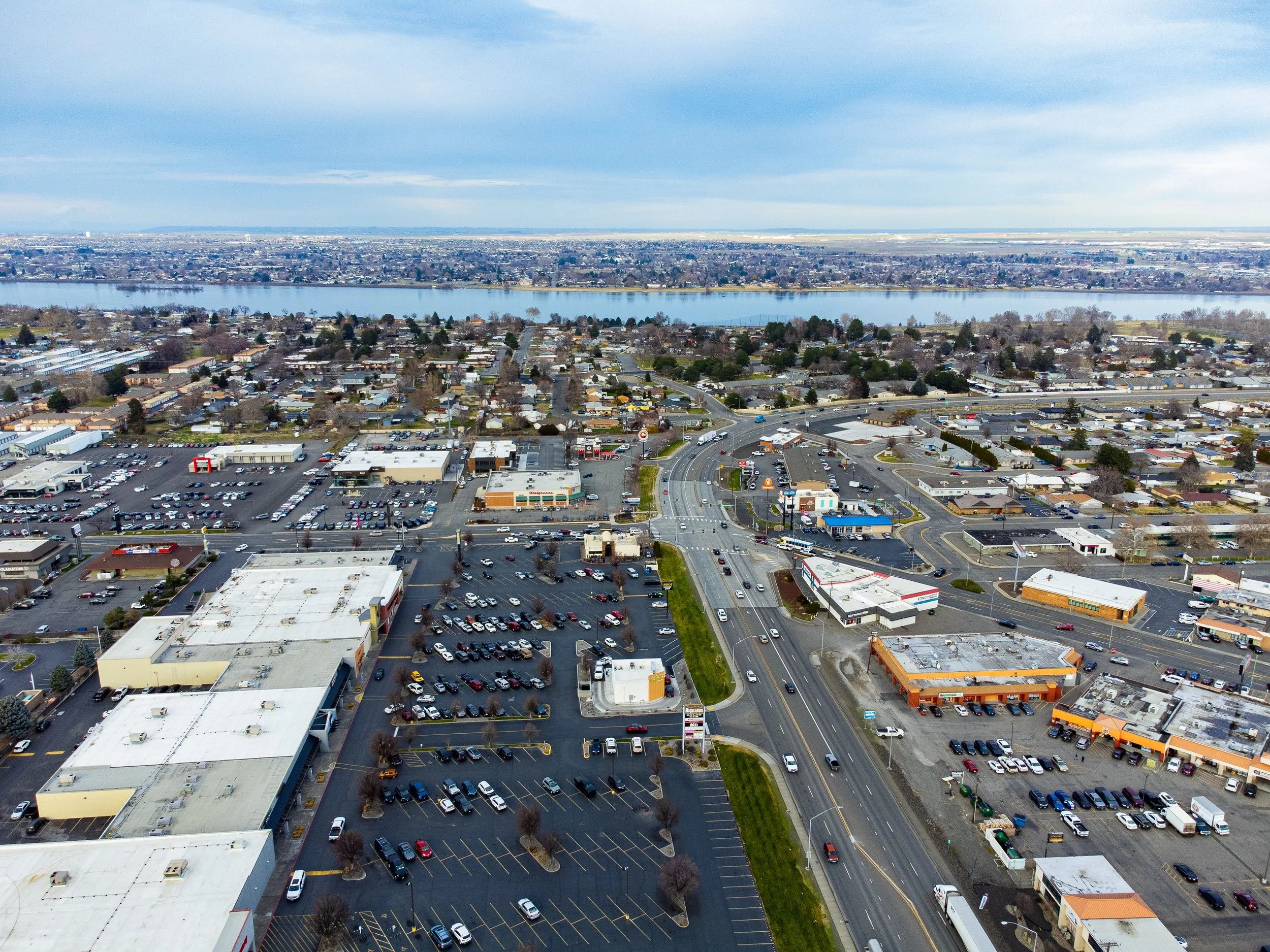 Image 3 of 99
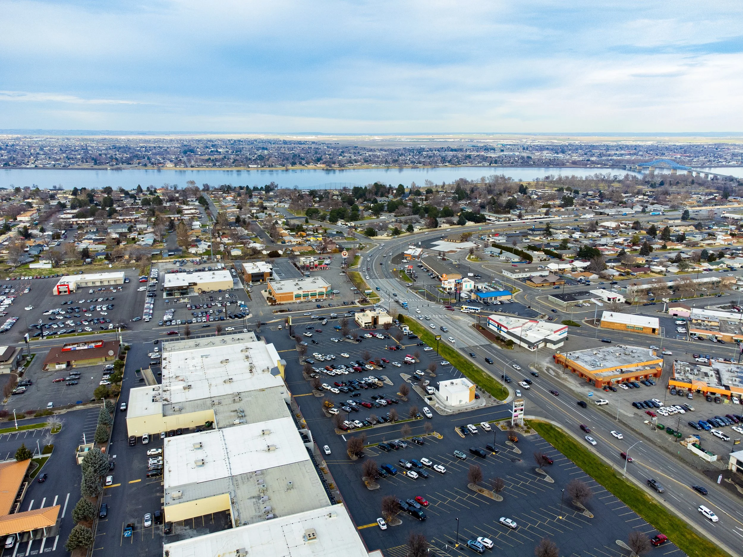 Image 4 of 99
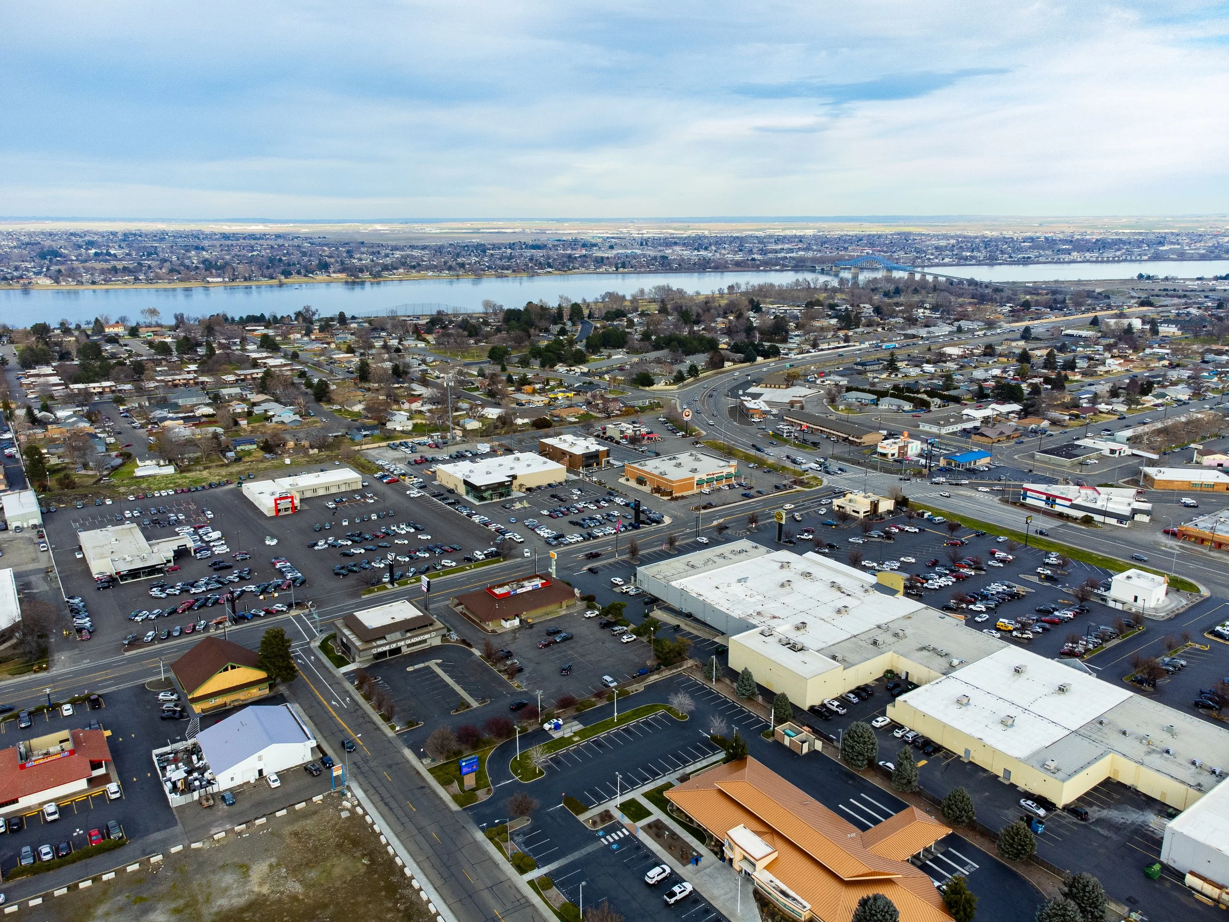 Image 5 of 99
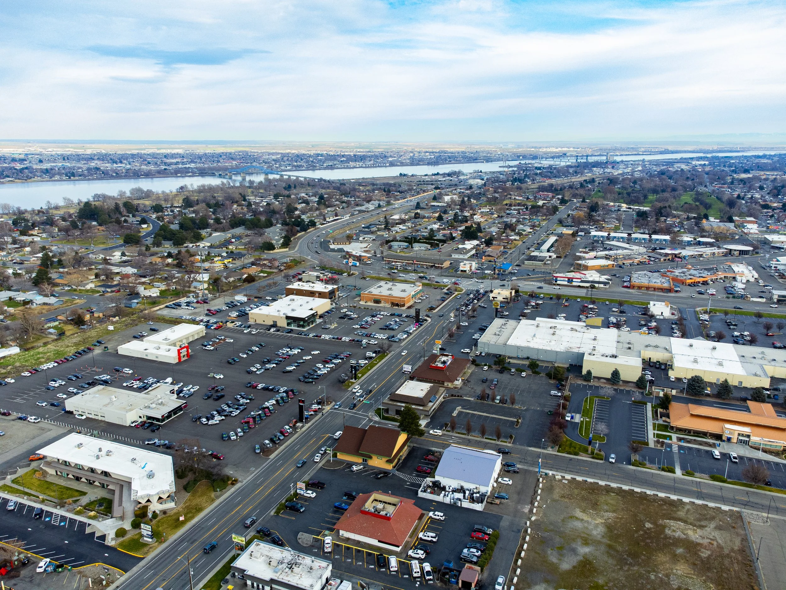 Image 6 of 99
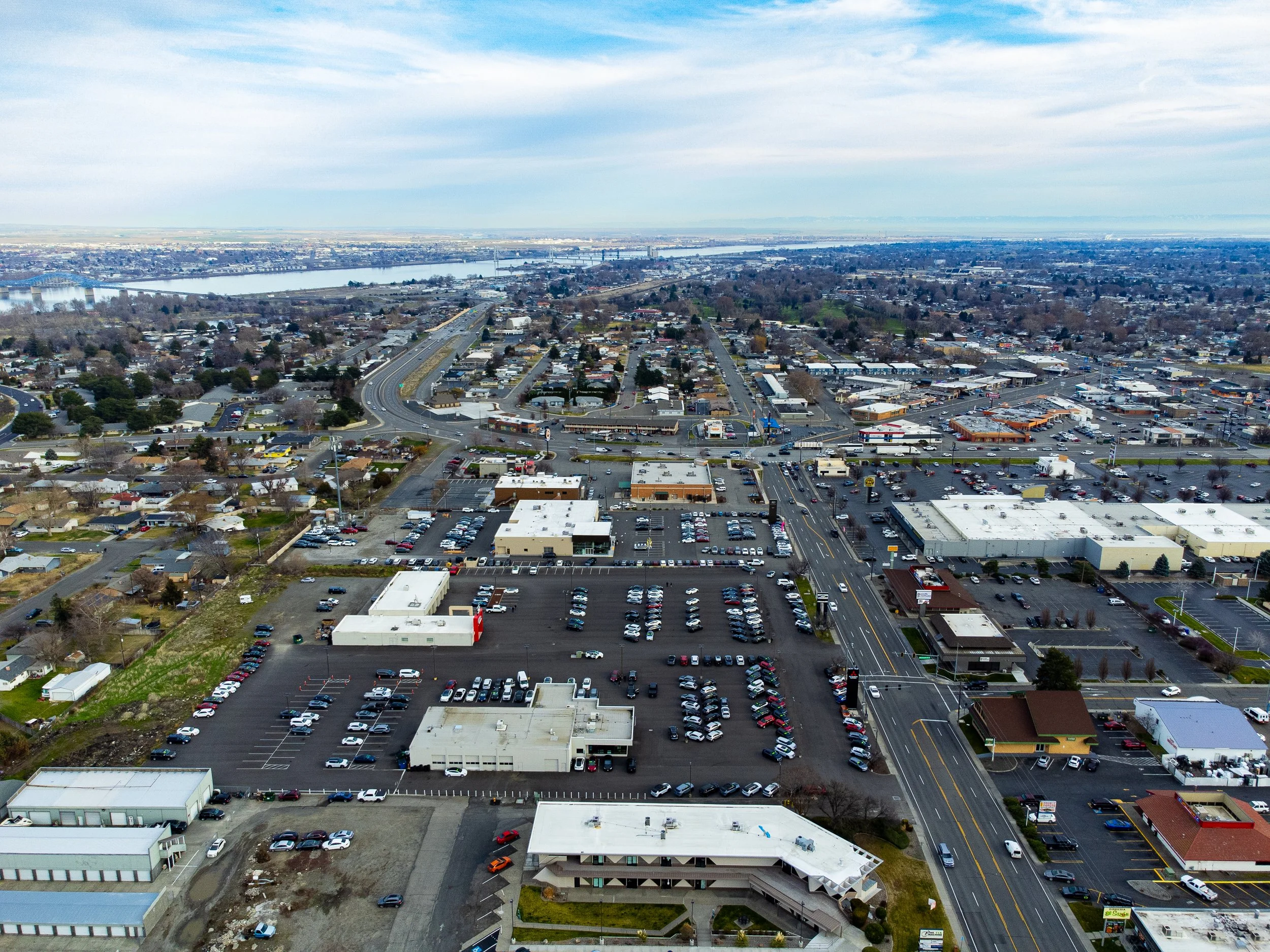 Image 7 of 99
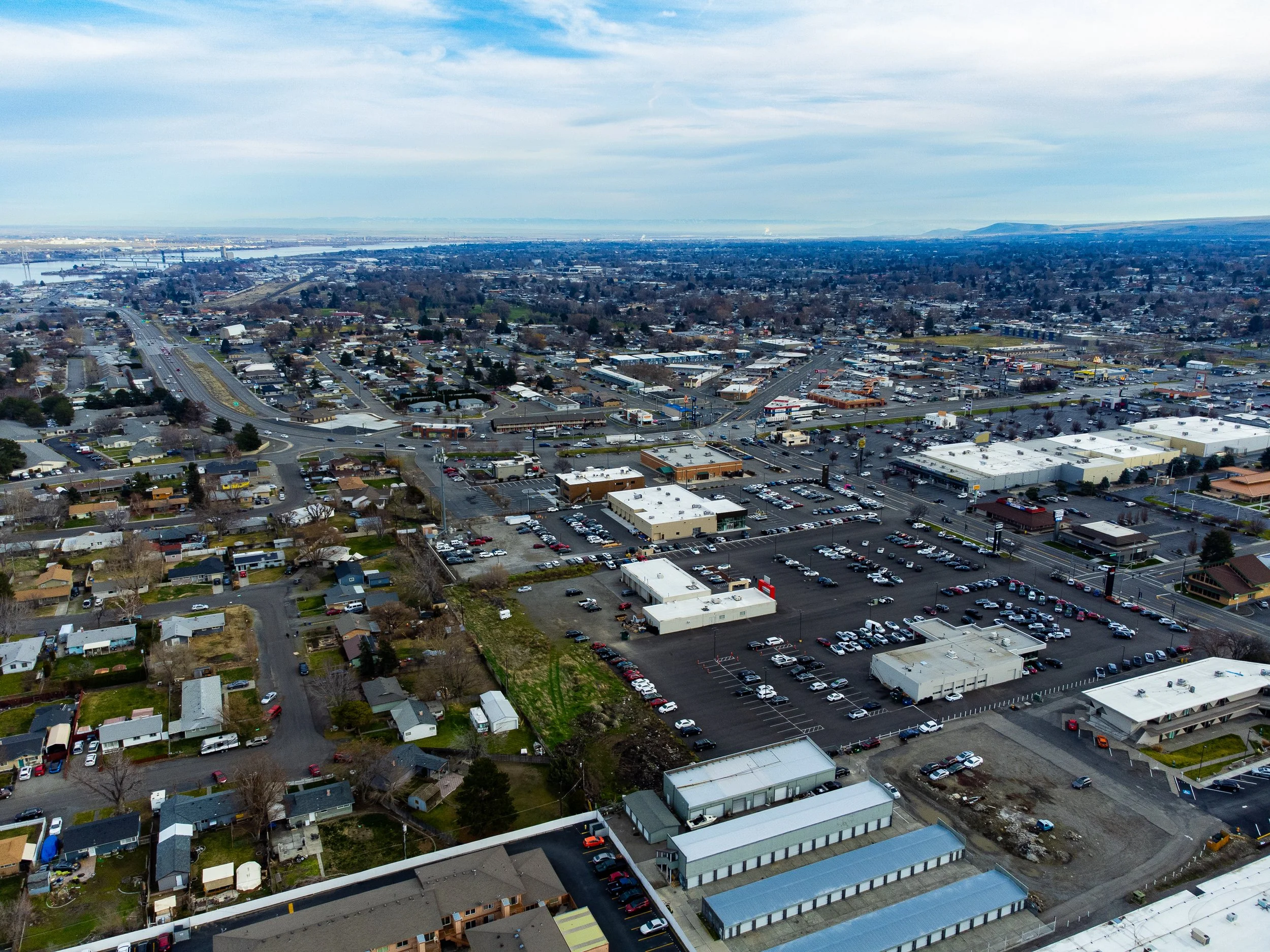 Image 8 of 99
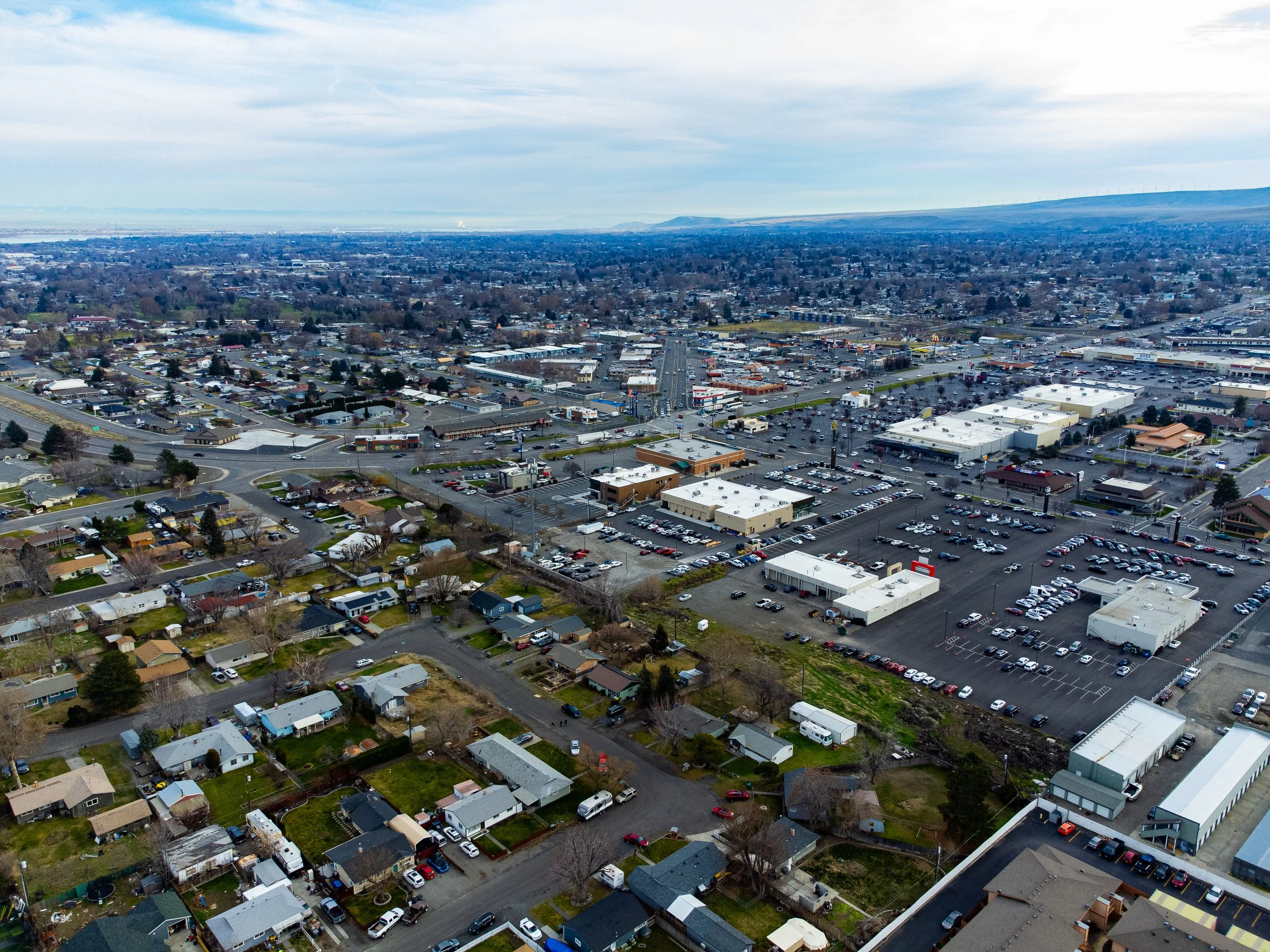 Image 9 of 99
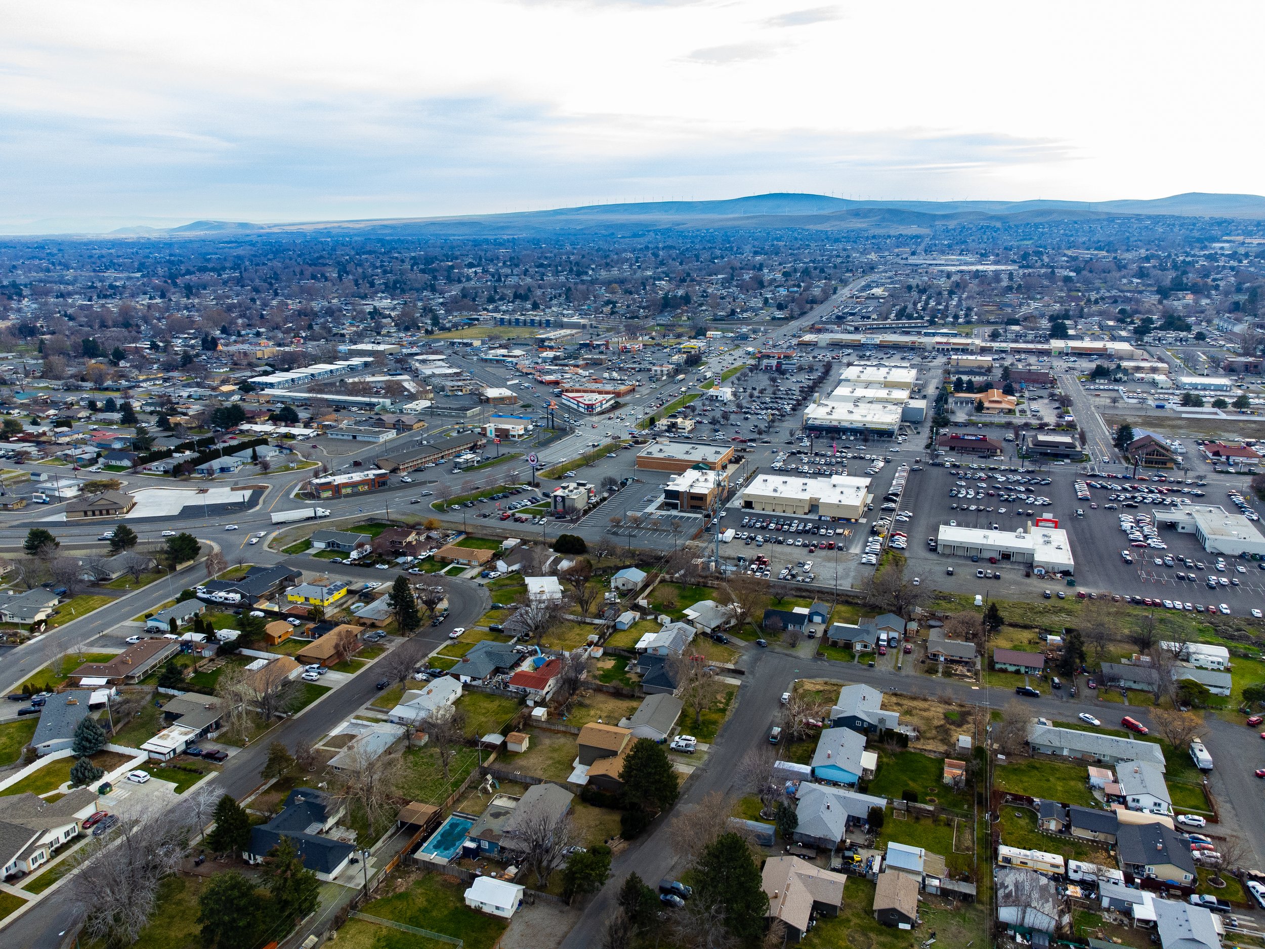 Image 10 of 99
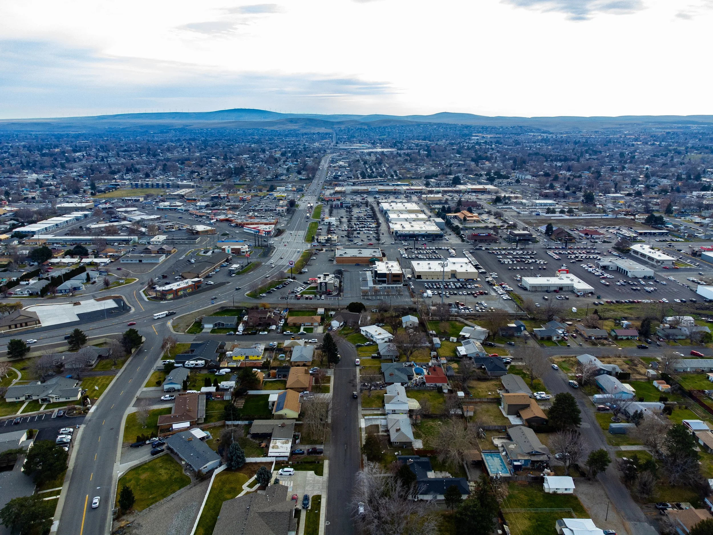 Image 11 of 99
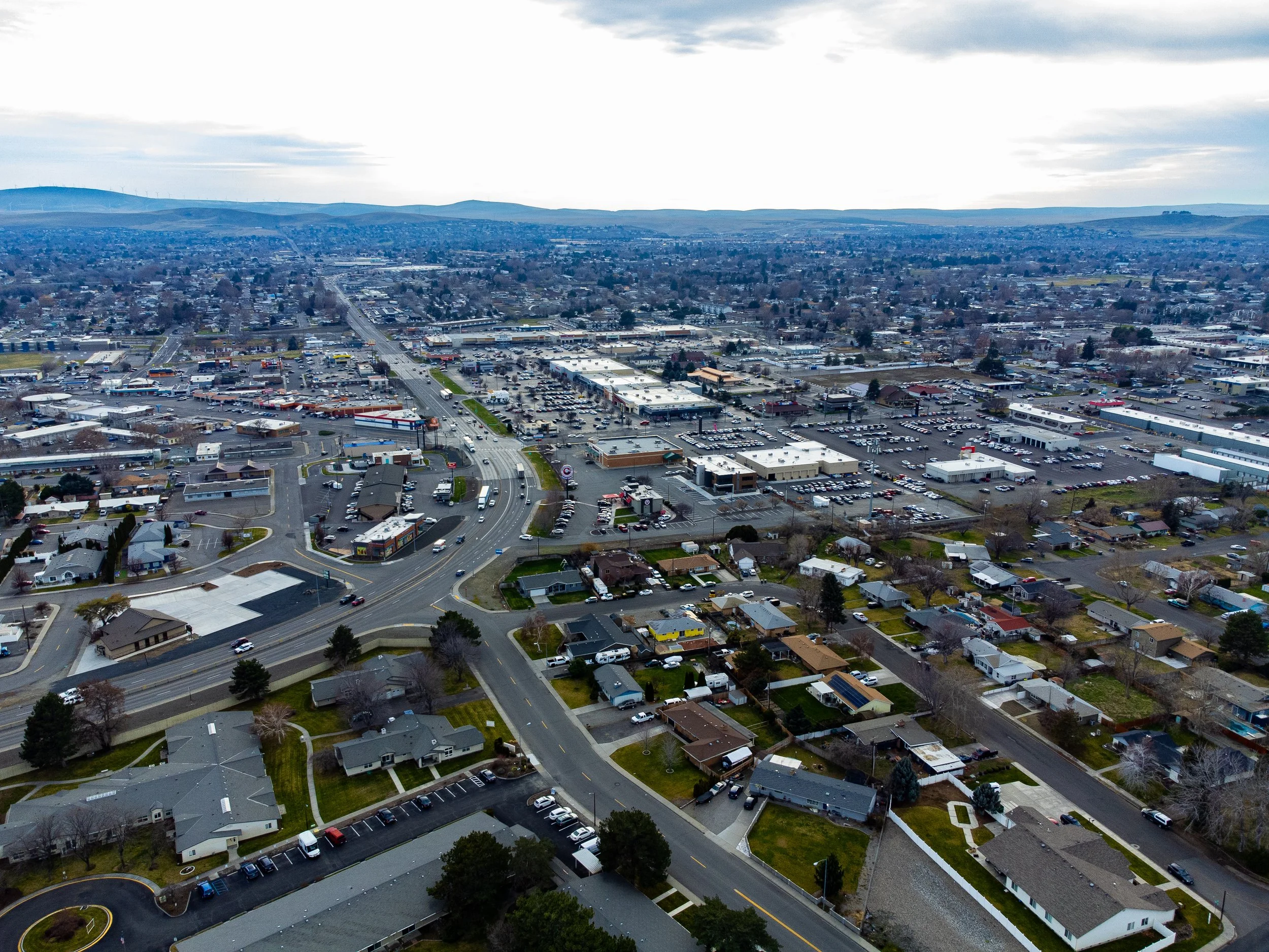 Image 12 of 99
 Image 13 of 99
 Image 14 of 99
 Image 15 of 99
 Image 16 of 99
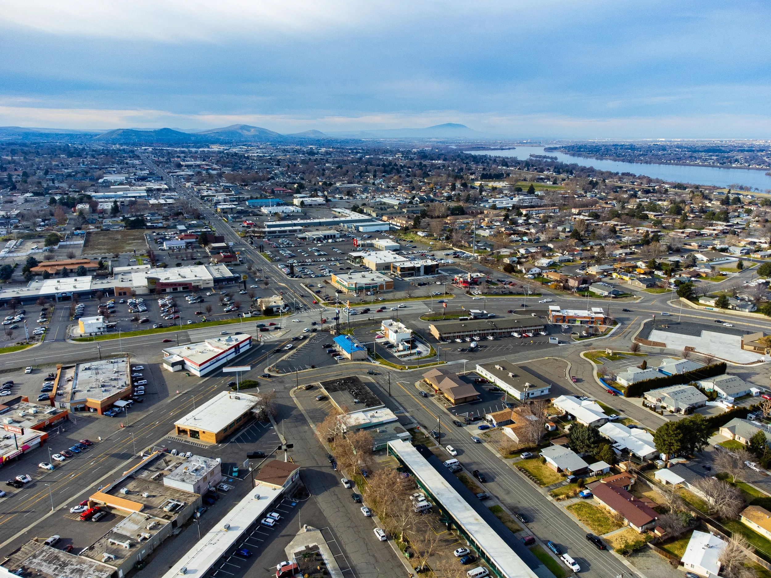 Image 17 of 99
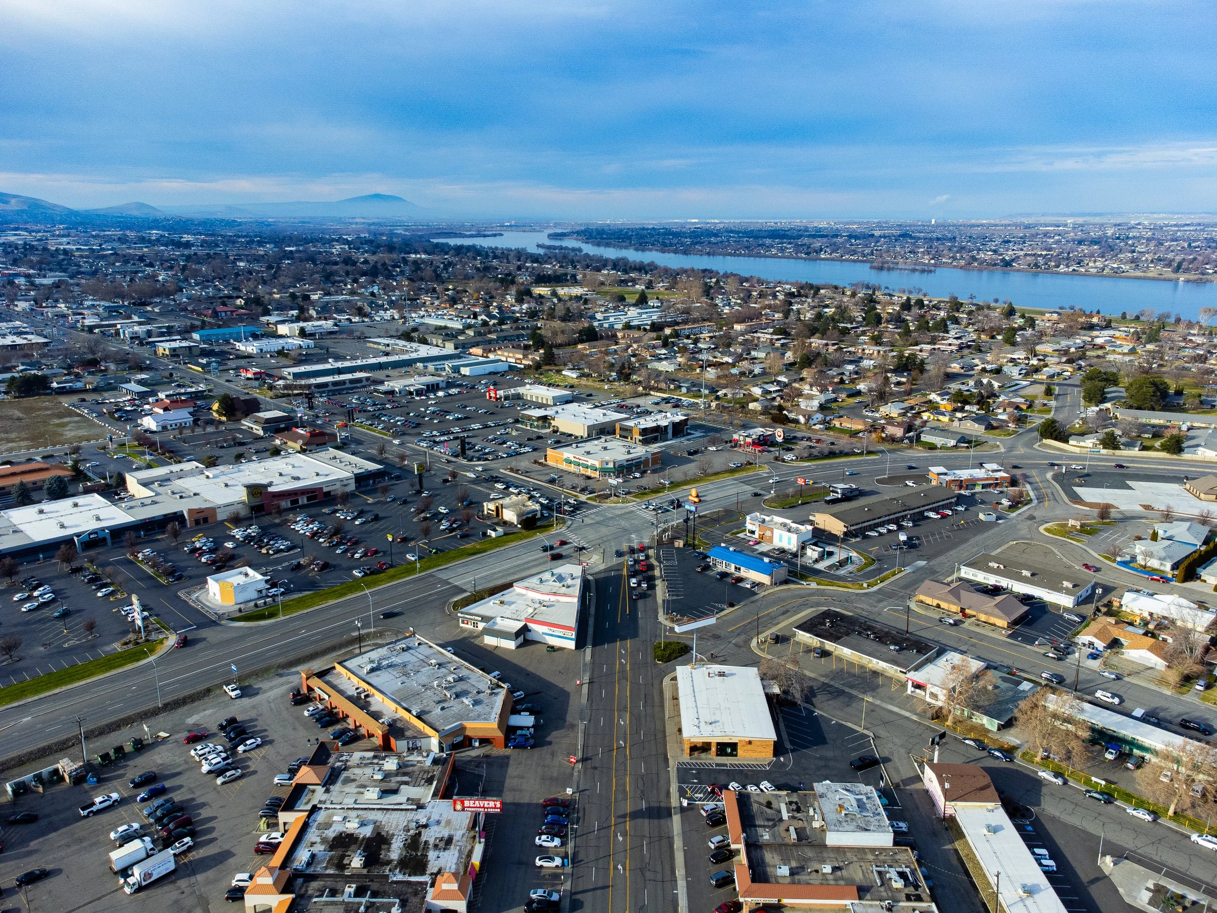 Image 18 of 99
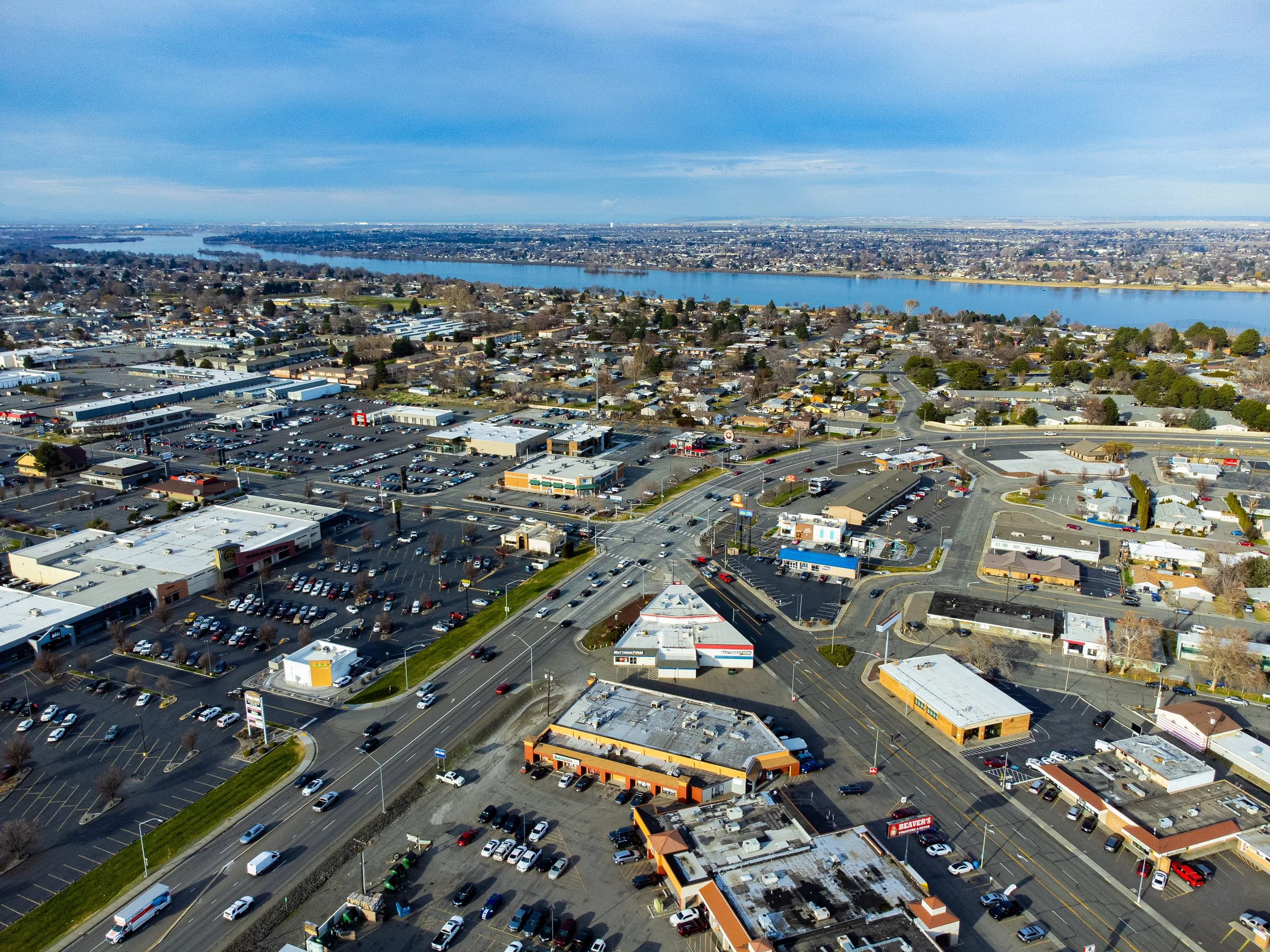 Image 19 of 99
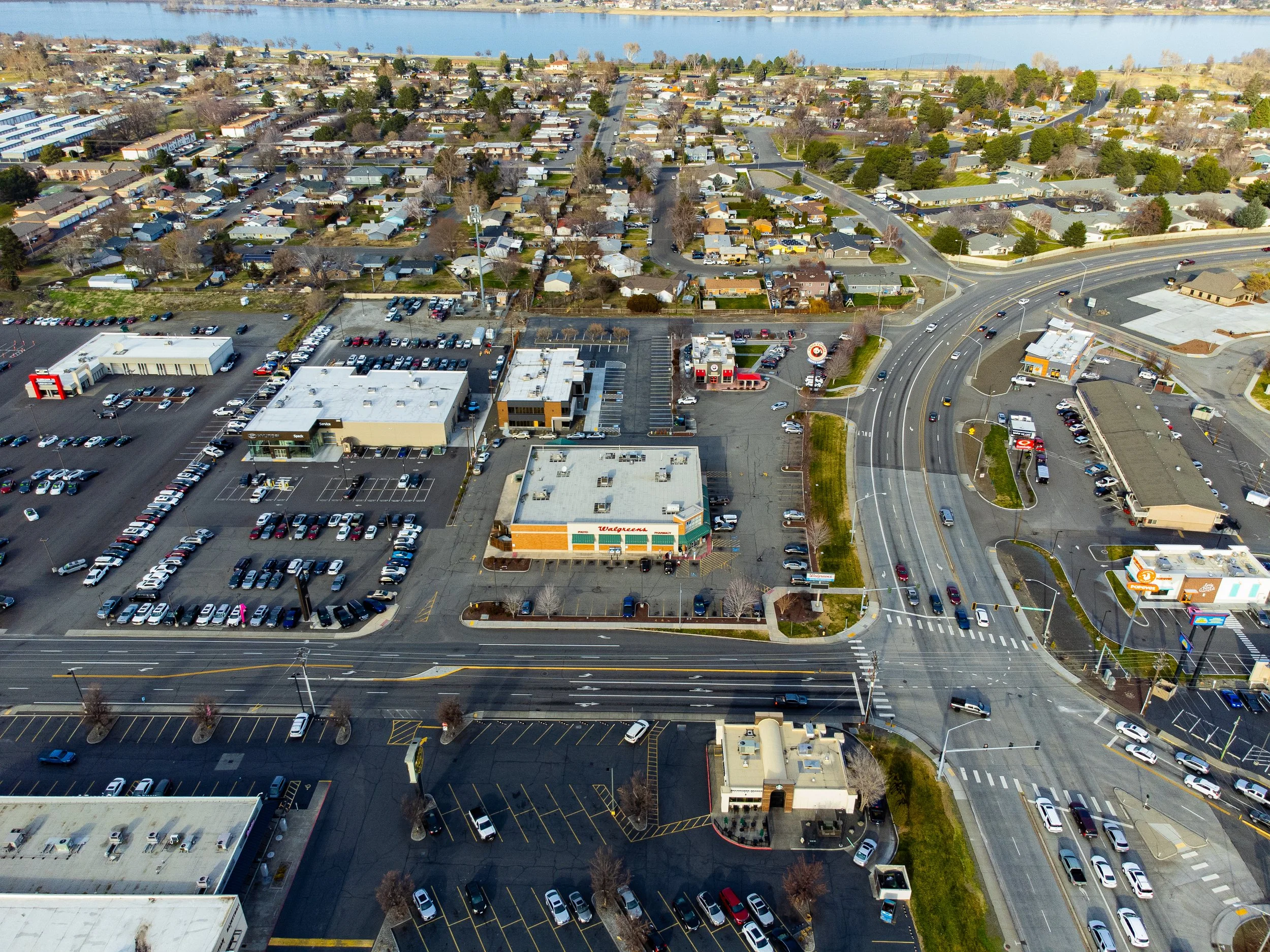 Image 20 of 99
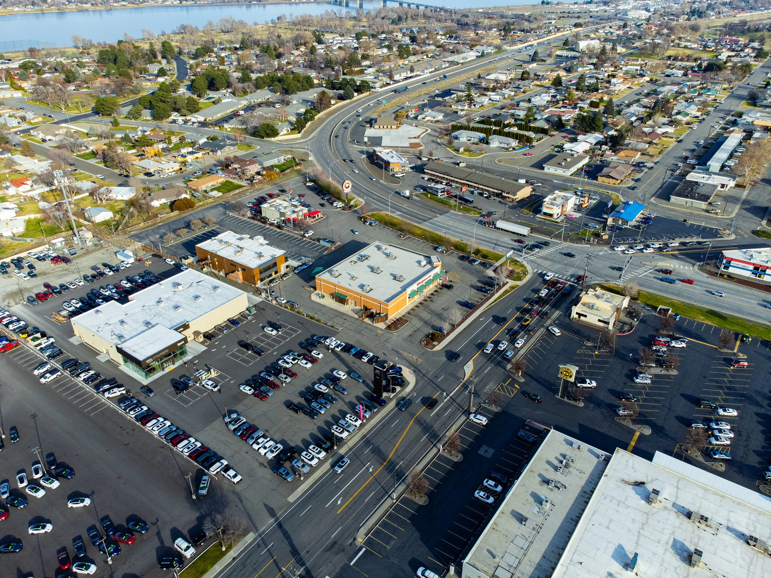 Image 21 of 99
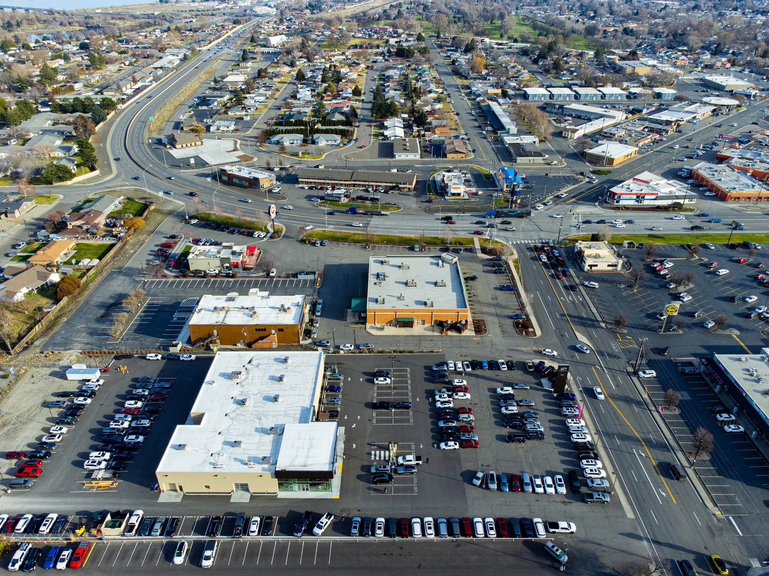 Image 22 of 99
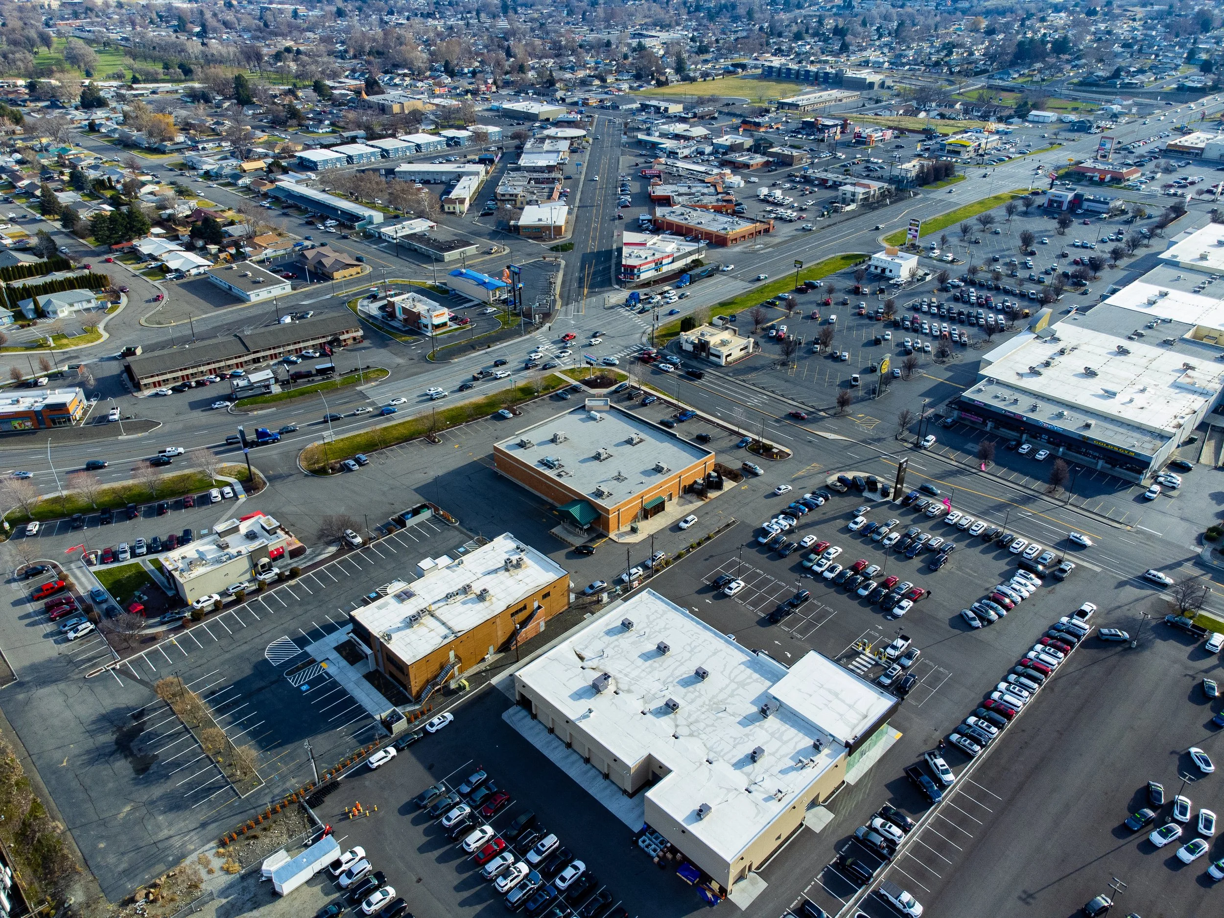 Image 23 of 99
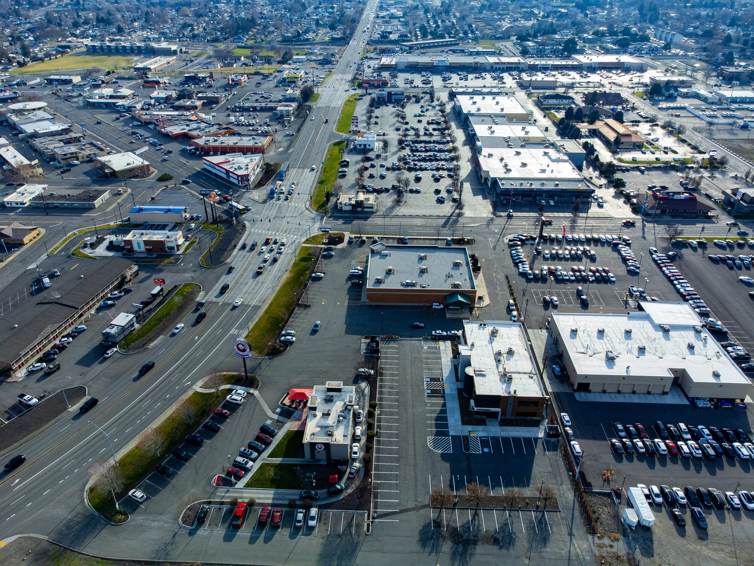 Image 24 of 99
 Image 25 of 99
 Image 26 of 99
 Image 27 of 99
 Image 28 of 99
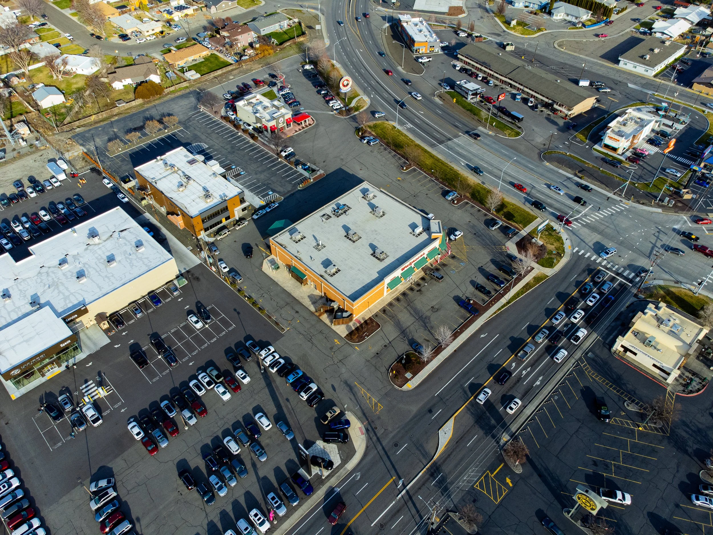 Image 29 of 99
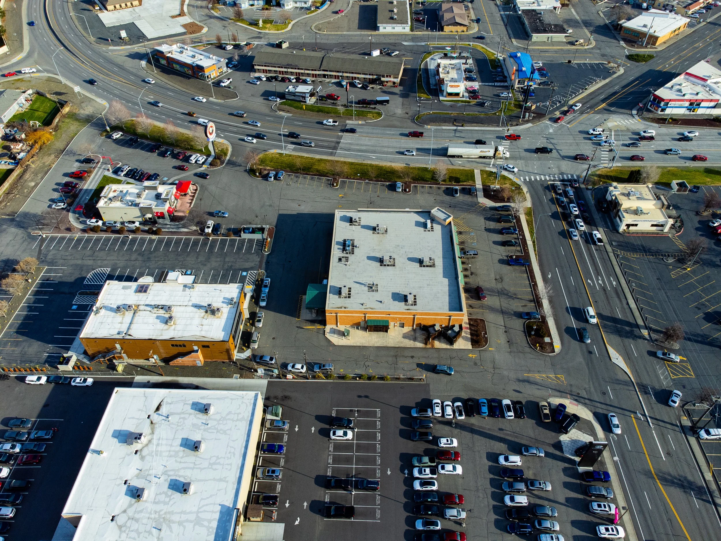 Image 30 of 99
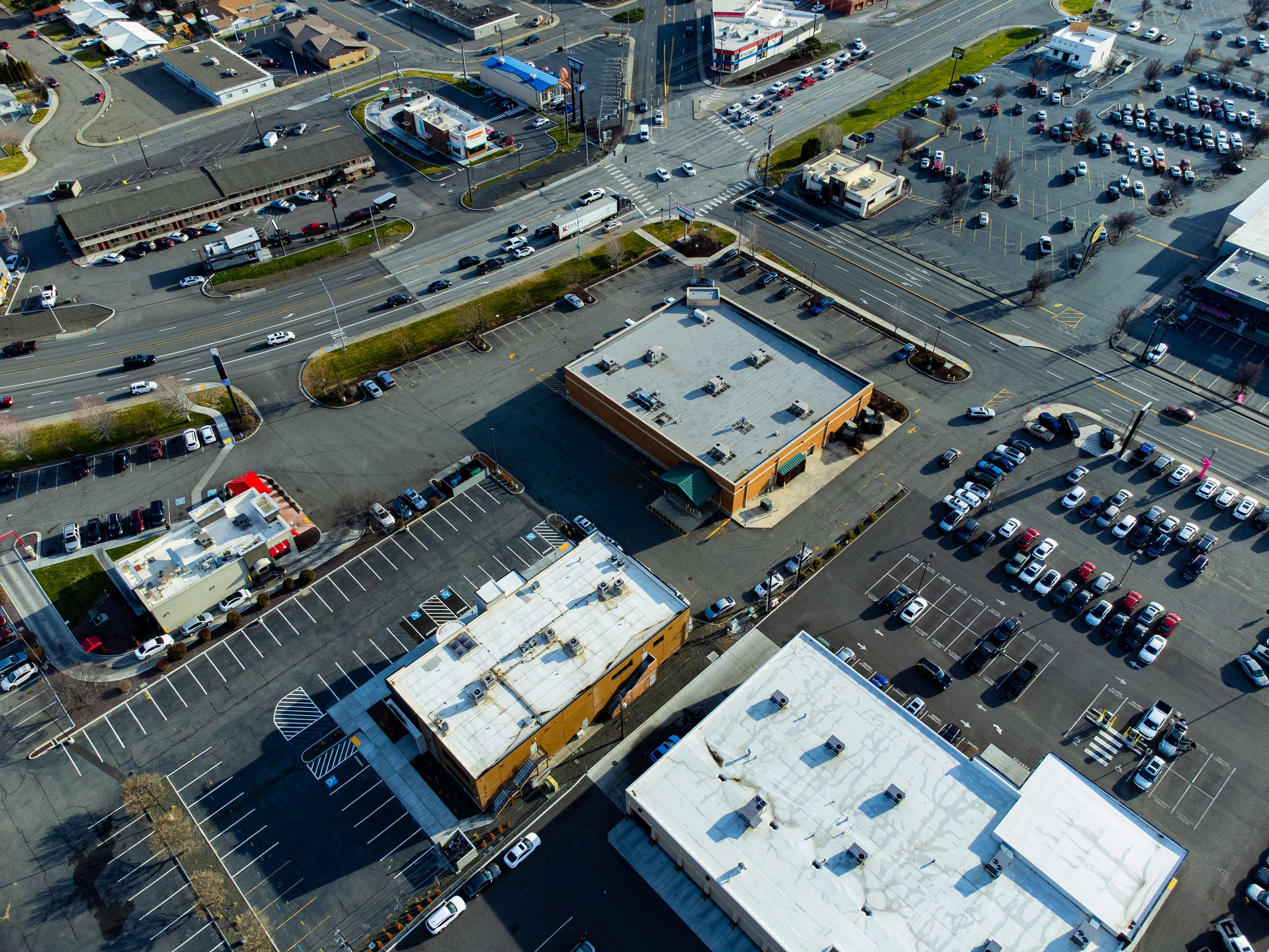 Image 31 of 99
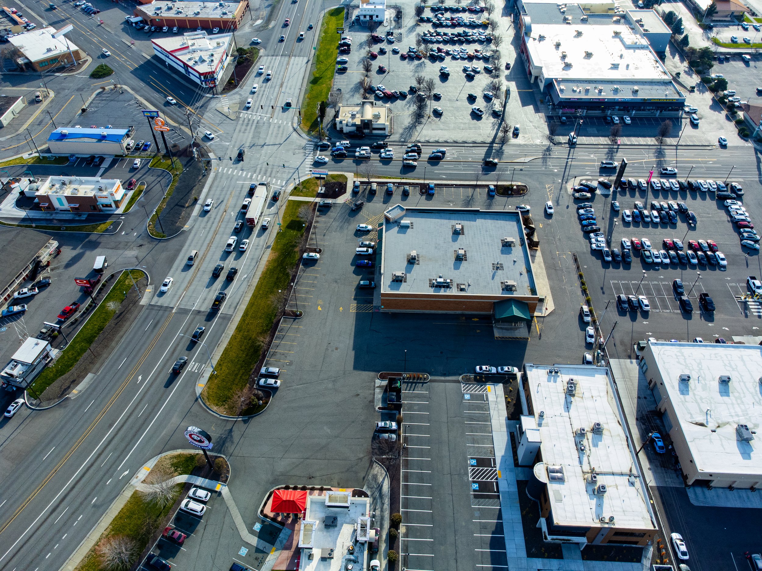 Image 32 of 99
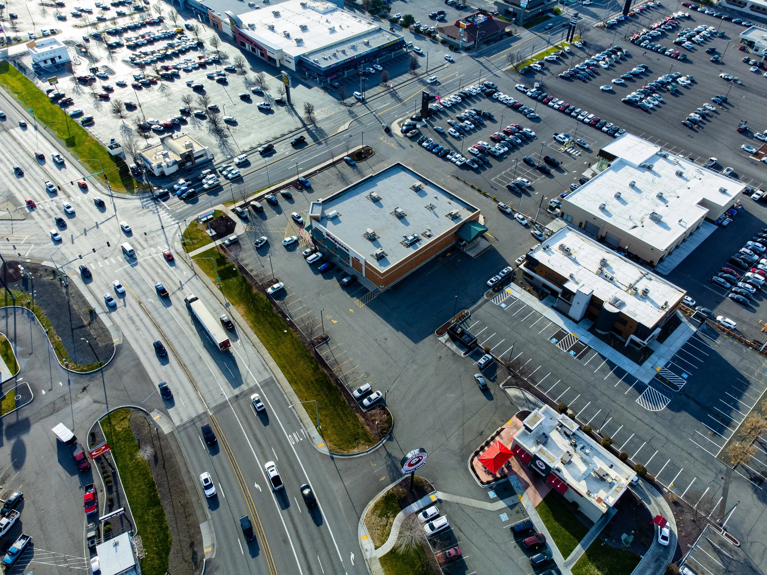 Image 33 of 99
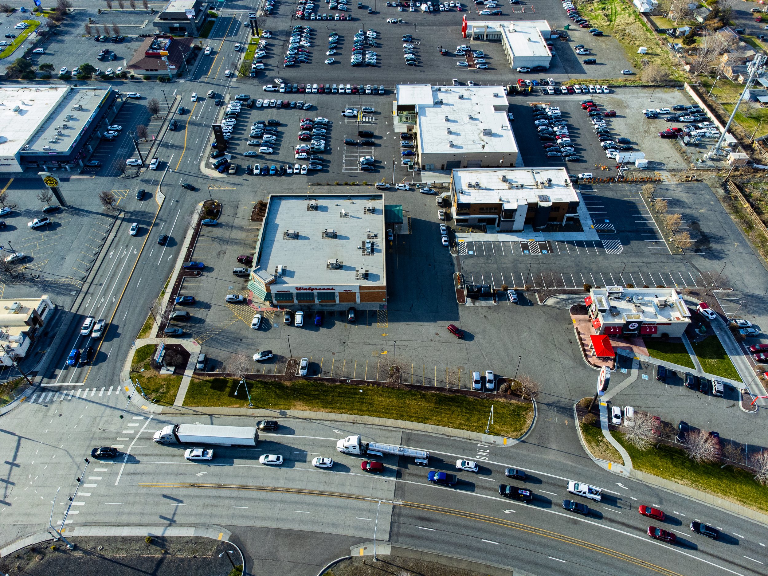 Image 34 of 99
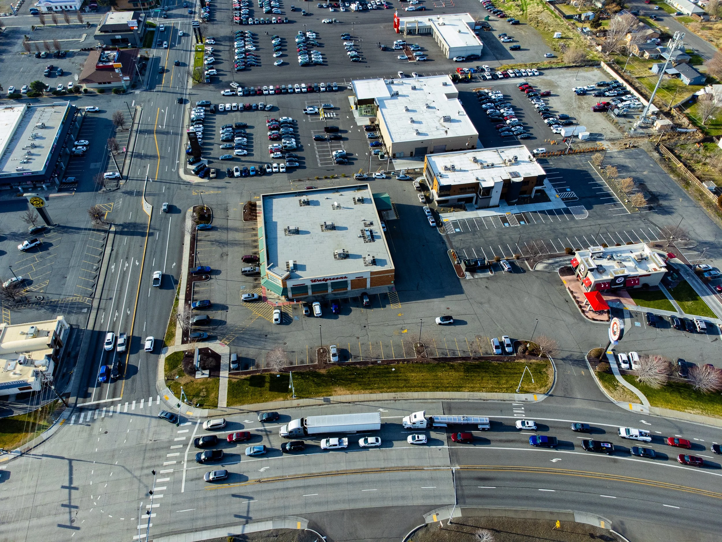 Image 35 of 99
 Image 36 of 99
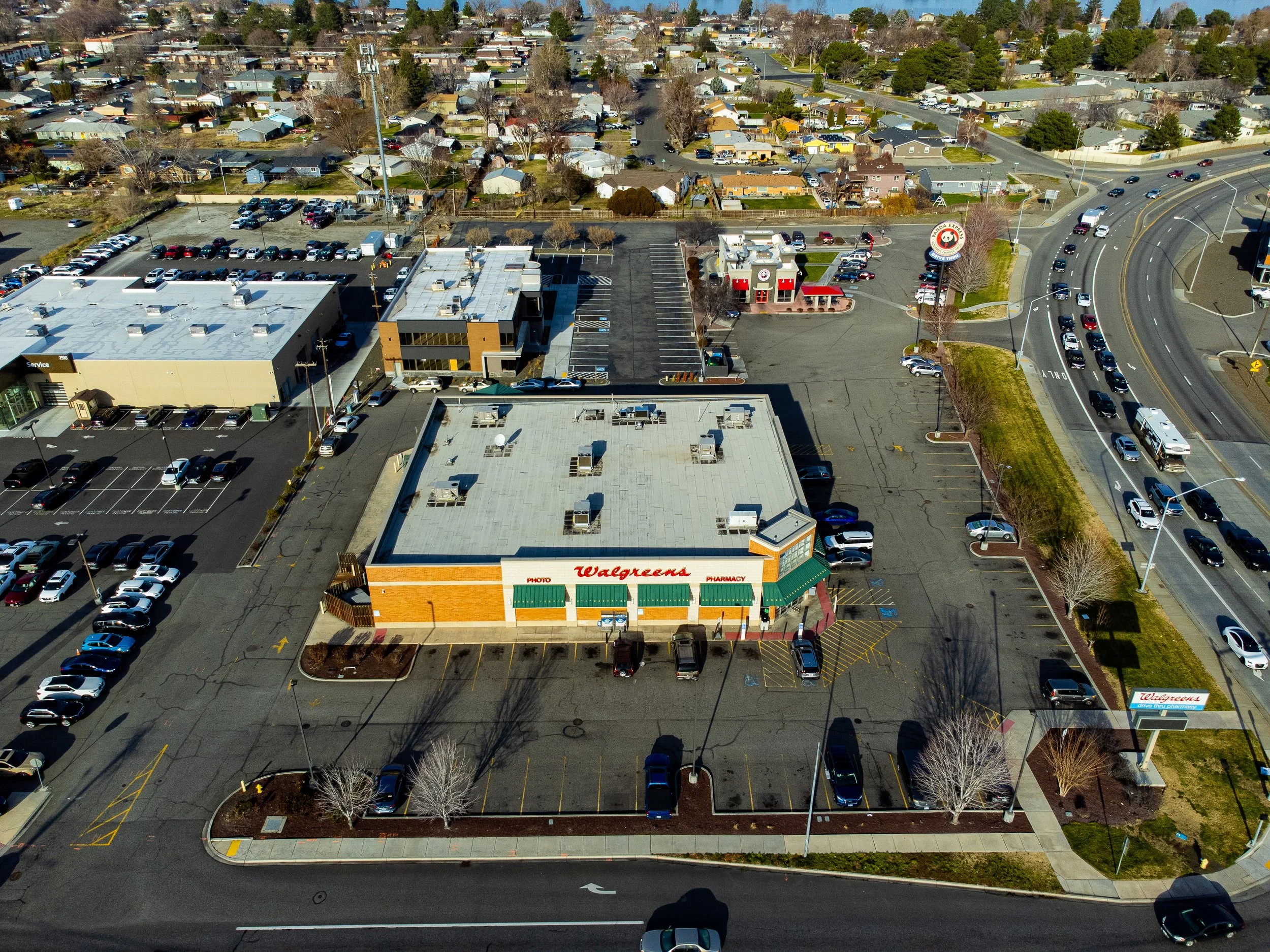 Image 37 of 99
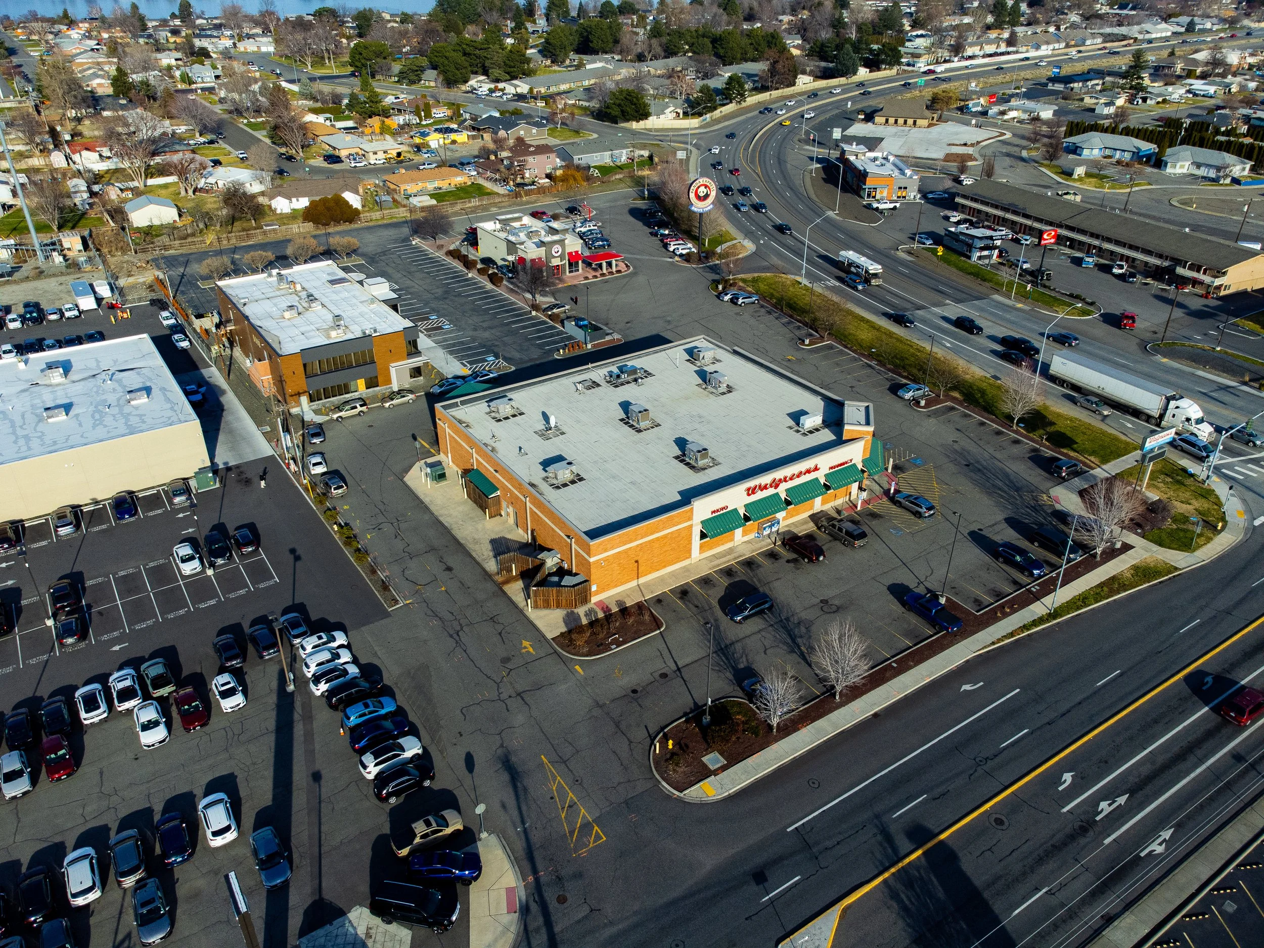 Image 38 of 99
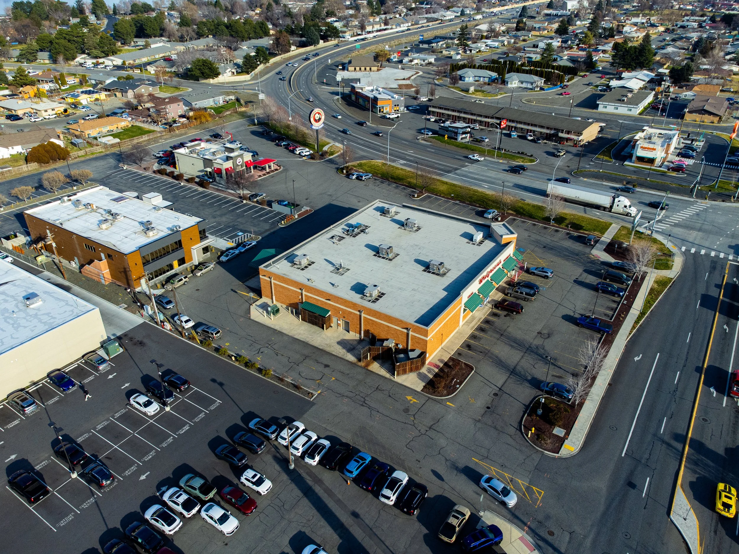 Image 39 of 99
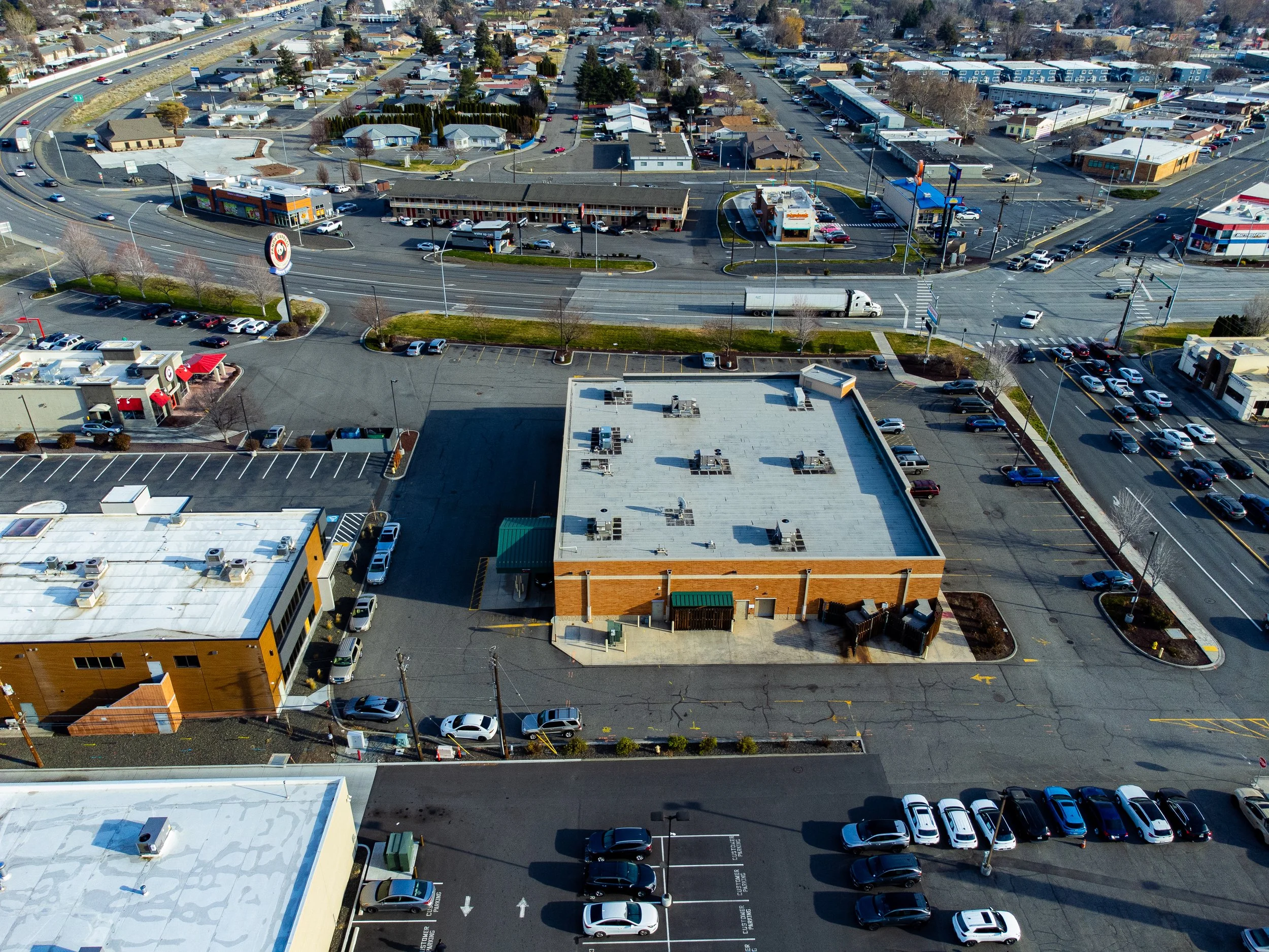 Image 40 of 99
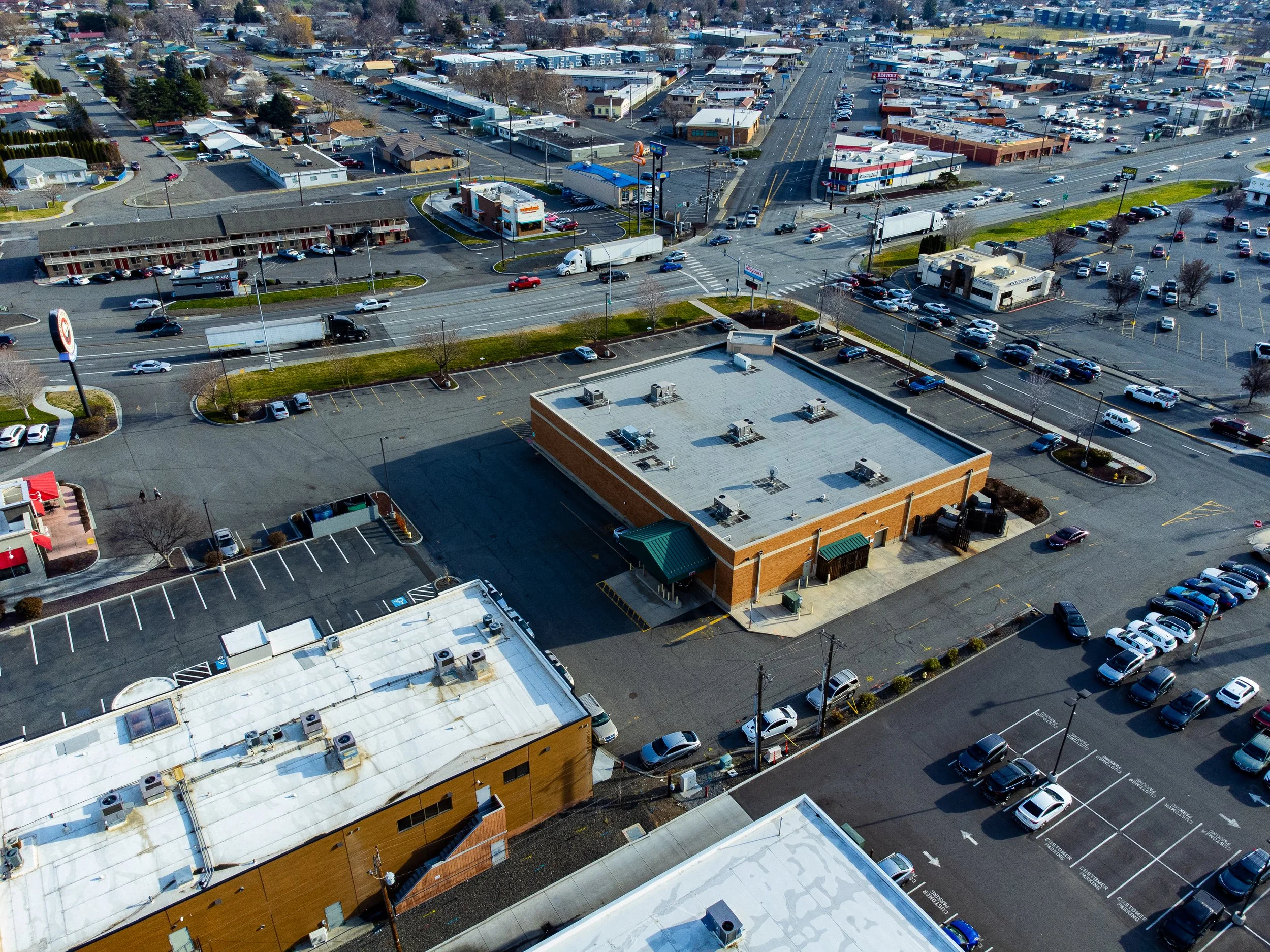 Image 41 of 99
 Image 42 of 99
 Image 43 of 99
 Image 44 of 99
 Image 45 of 99
 Image 46 of 99
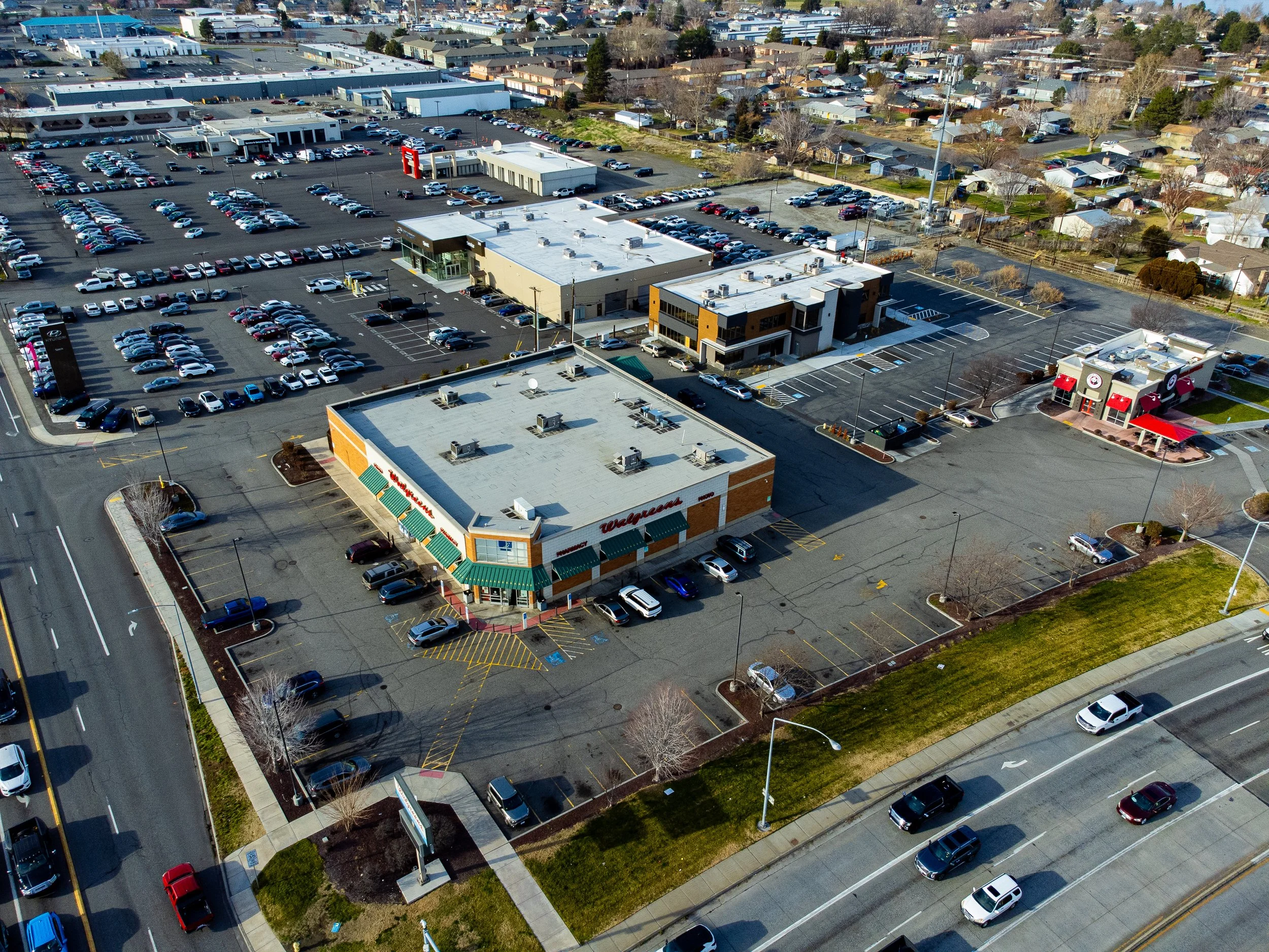 Image 47 of 99
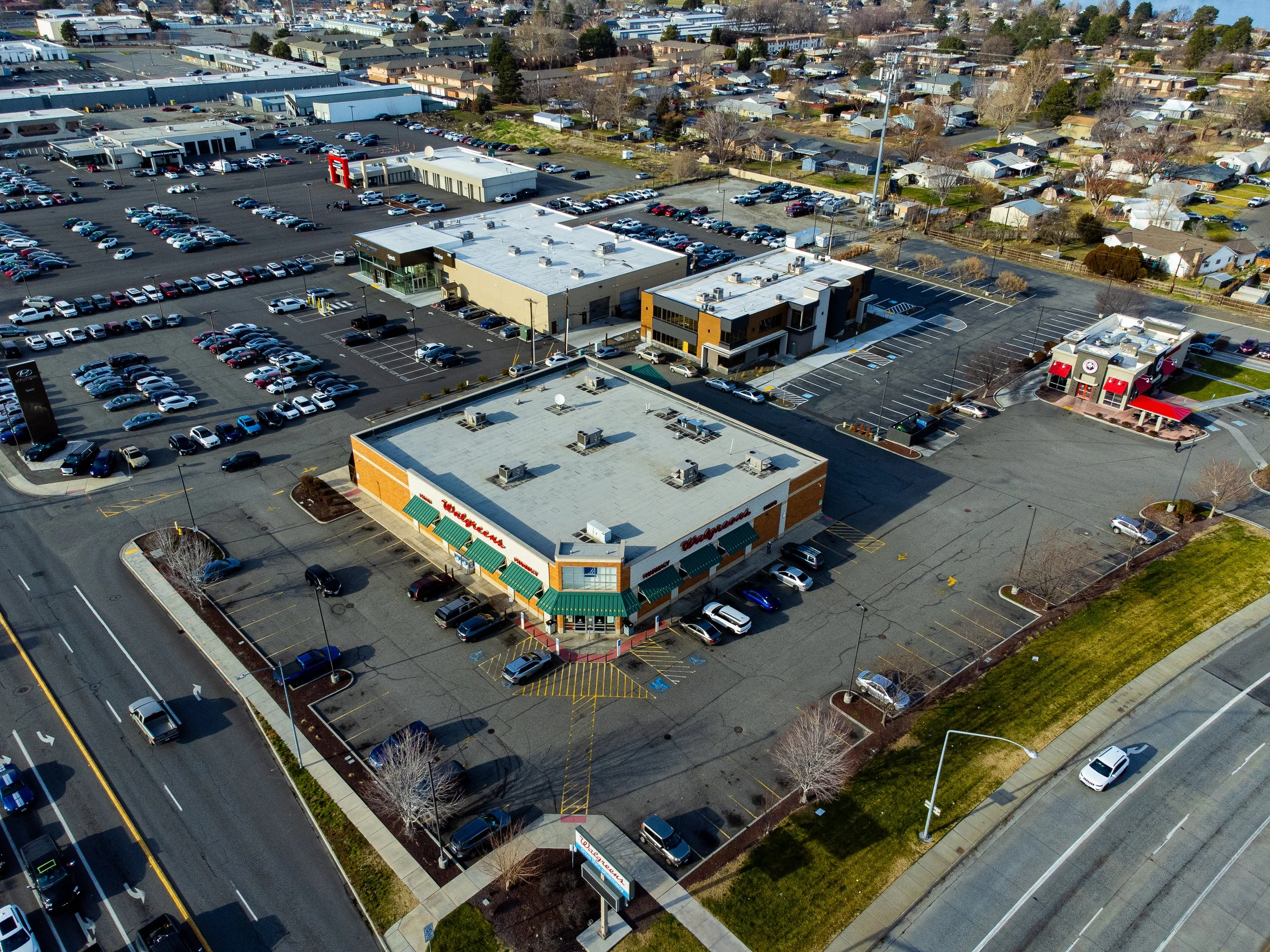 Image 48 of 99
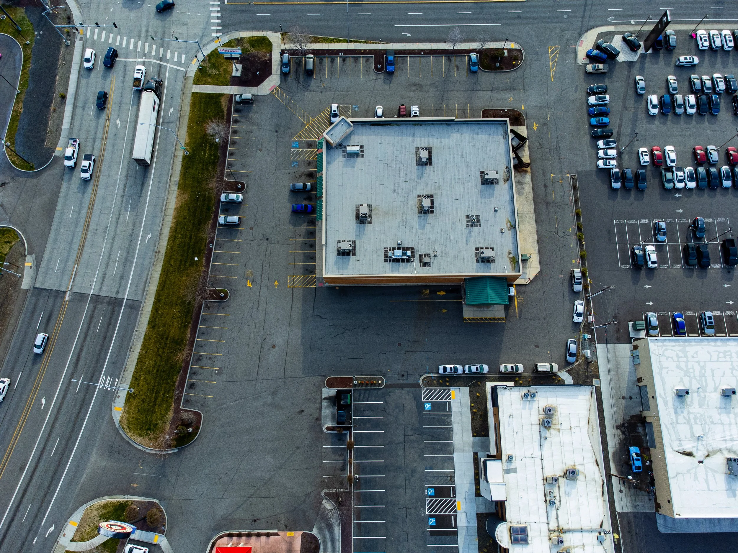 Image 49 of 99
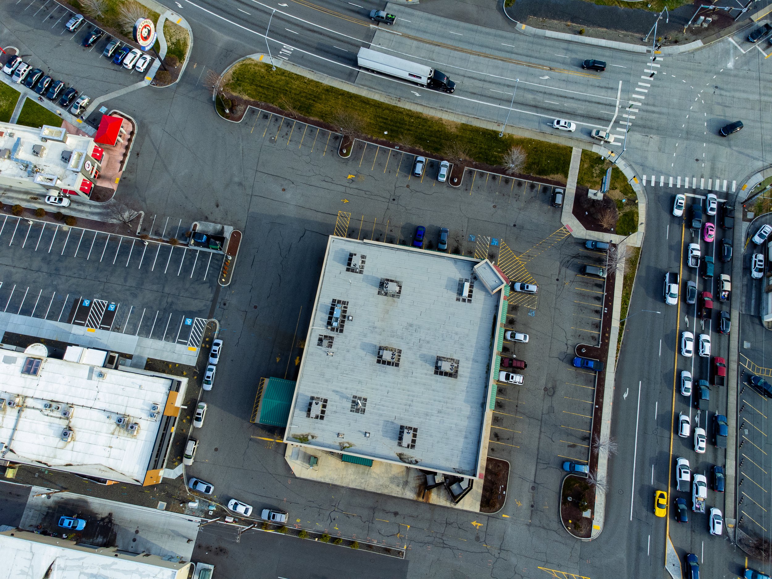 Image 50 of 99
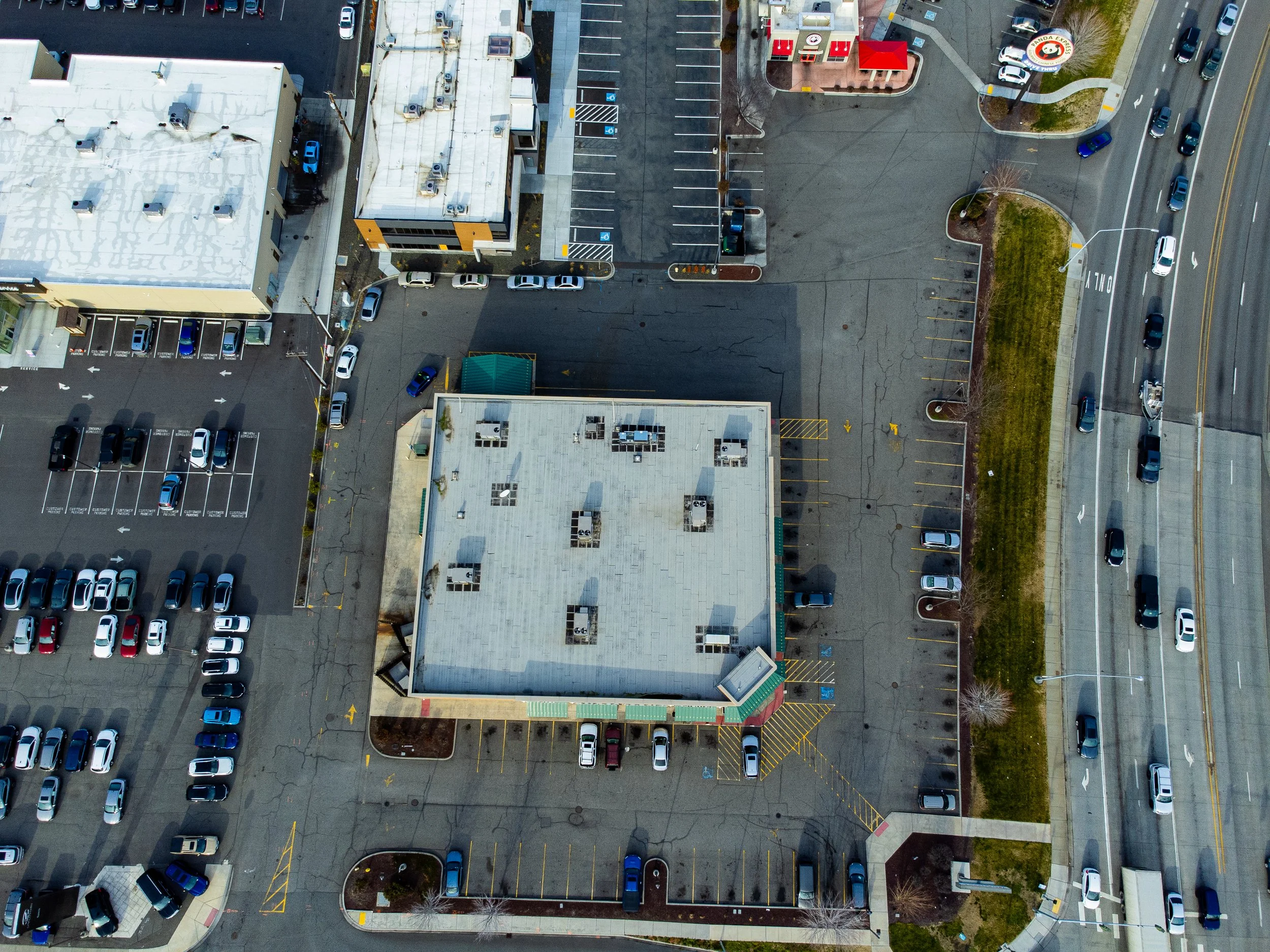 Image 51 of 99
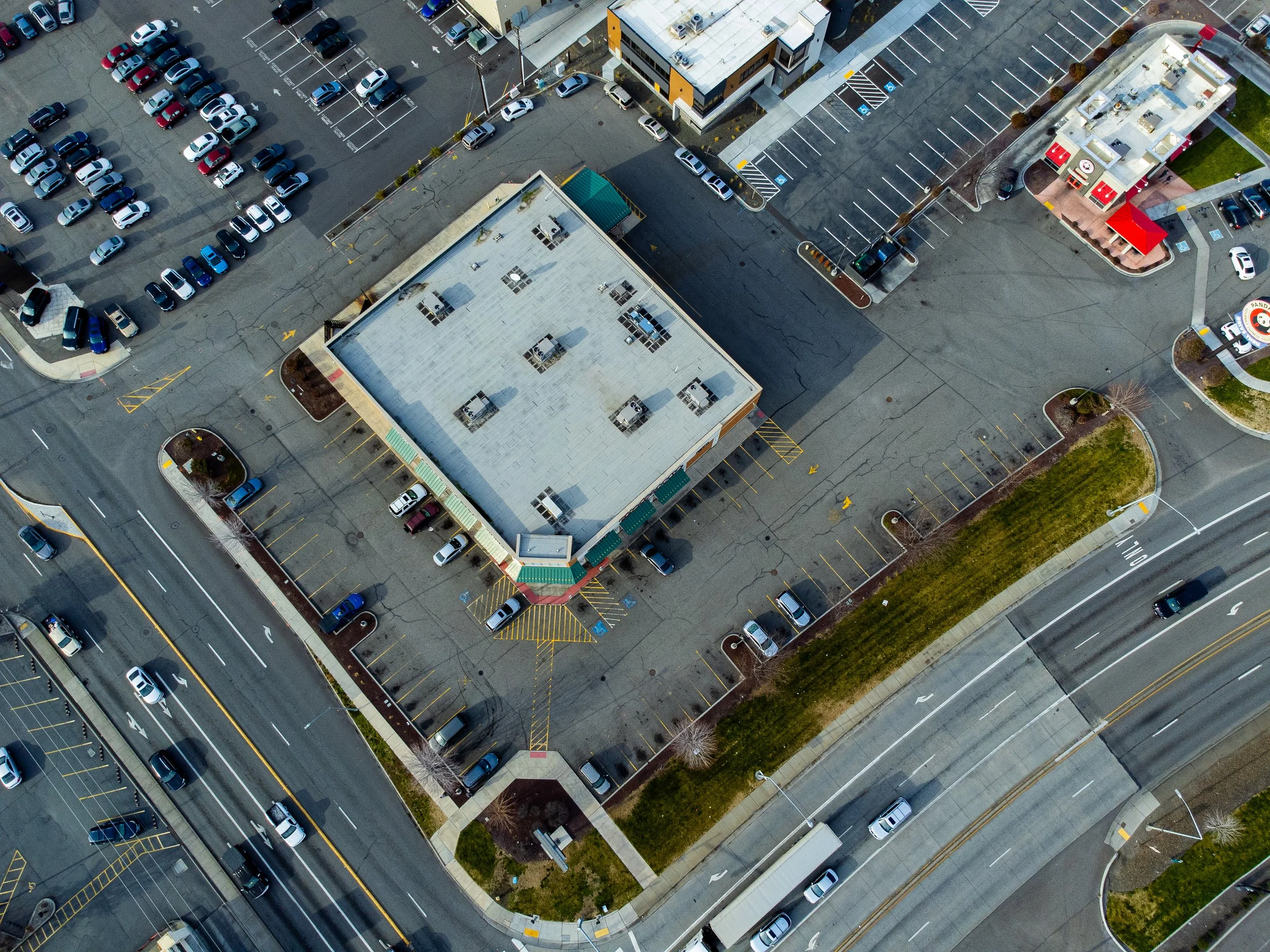 Image 52 of 99
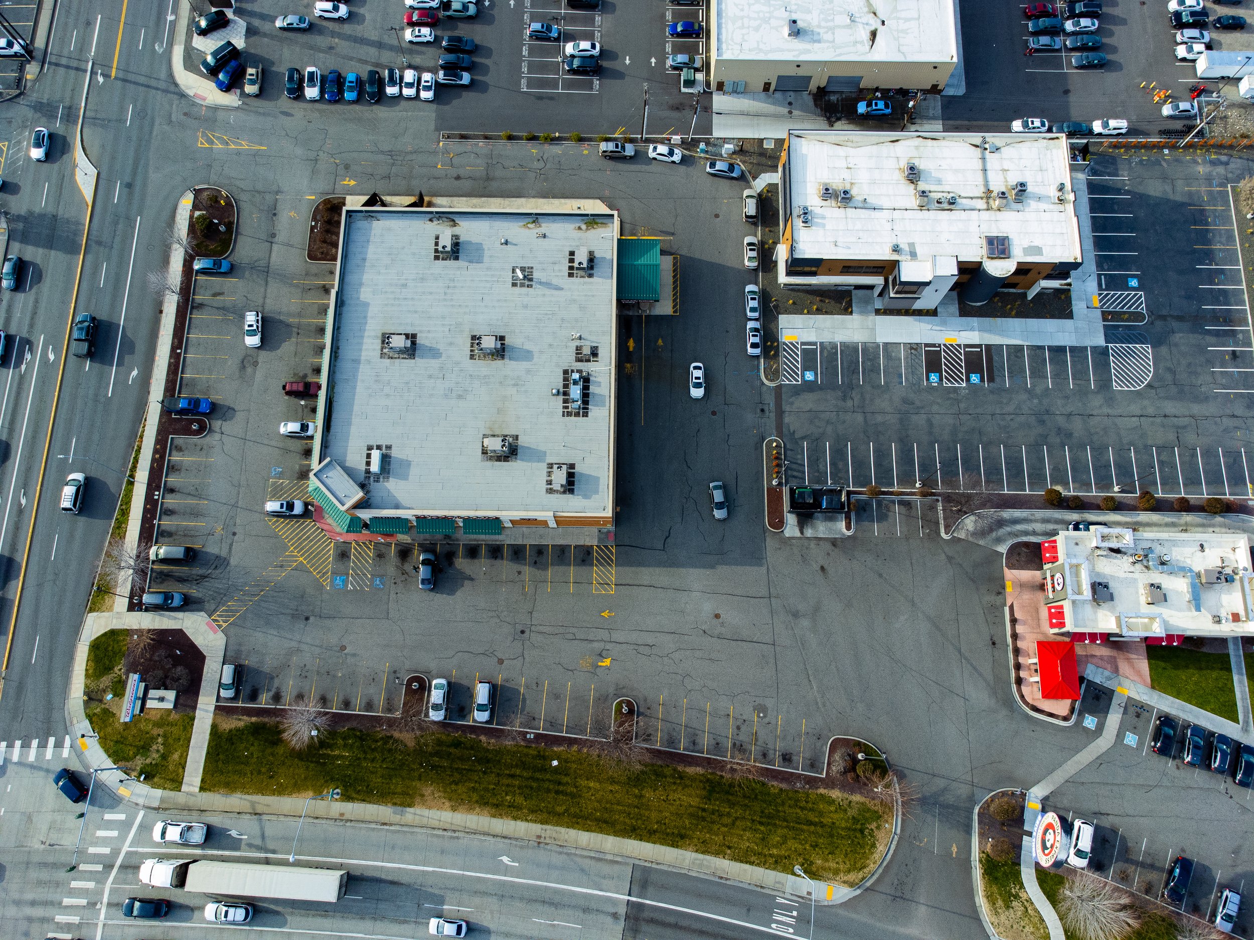 Image 53 of 99
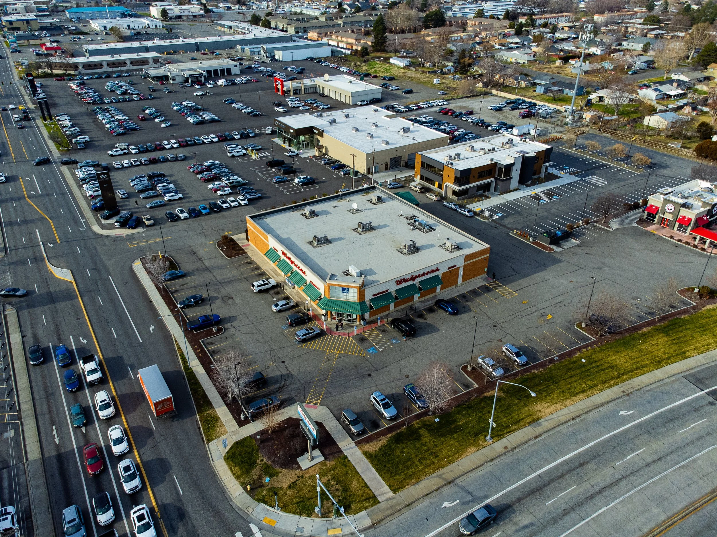 Image 54 of 99
 Image 55 of 99
 Image 56 of 99
 Image 57 of 99
 Image 58 of 99
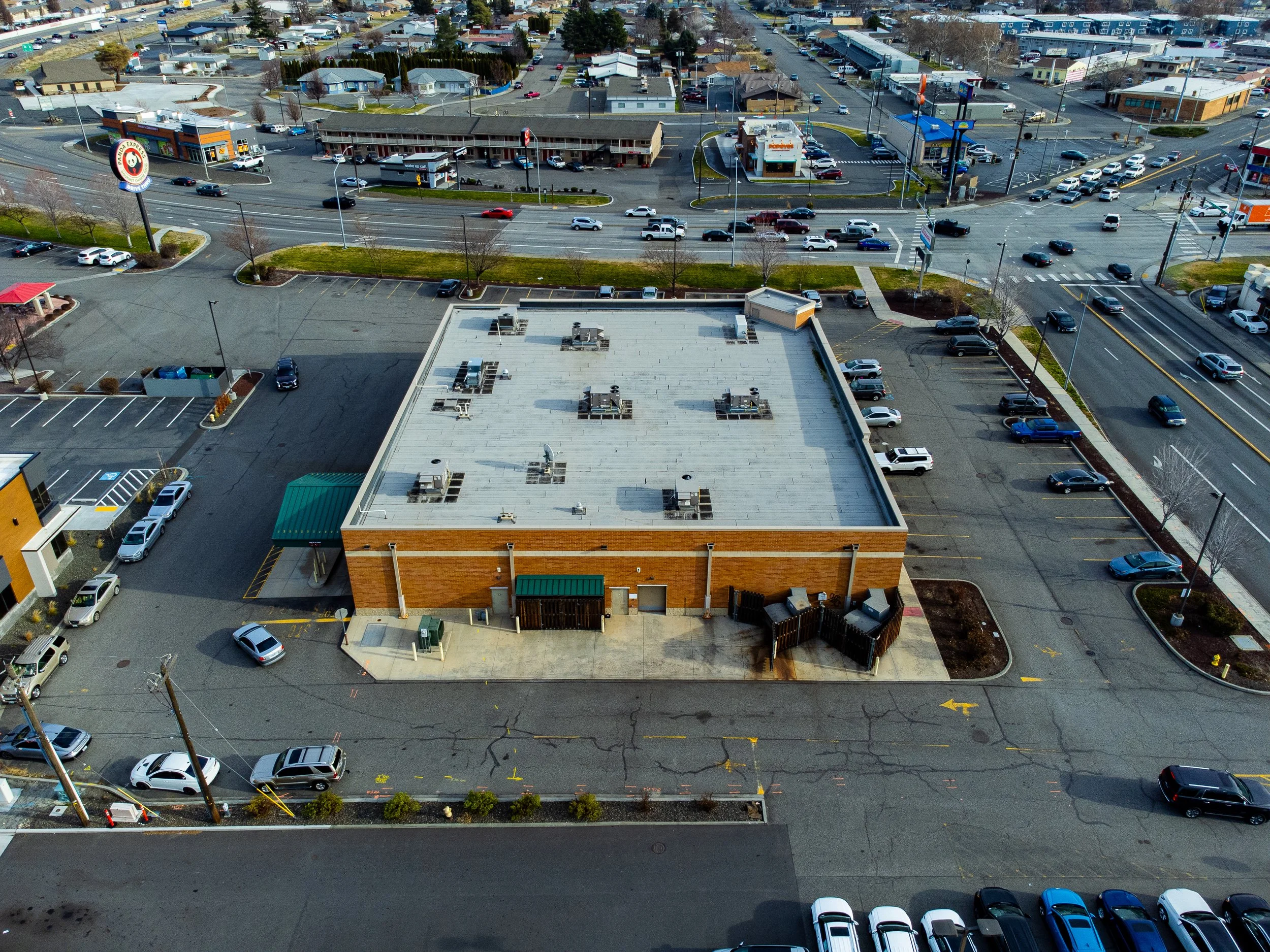 Image 59 of 99
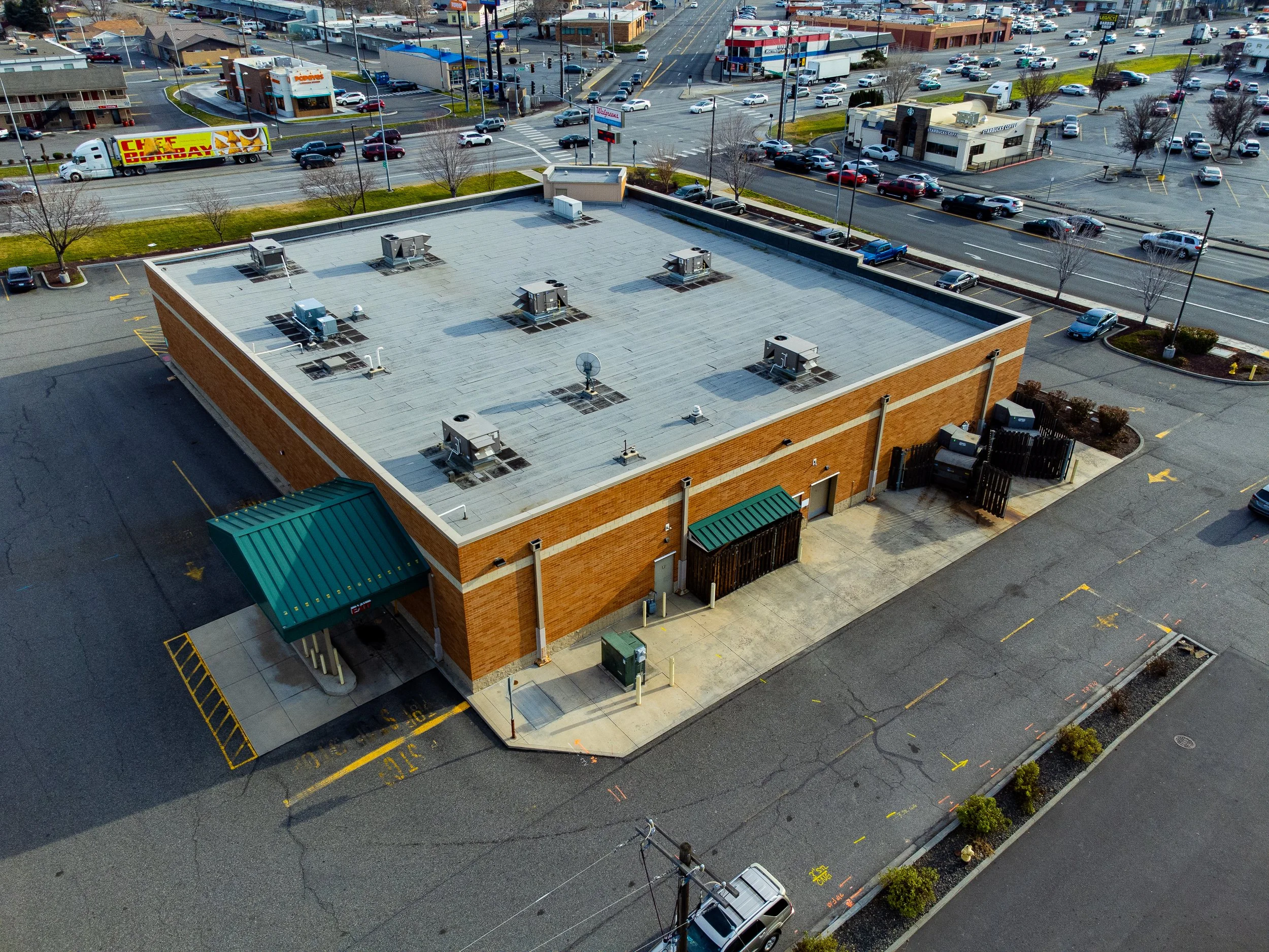 Image 60 of 99
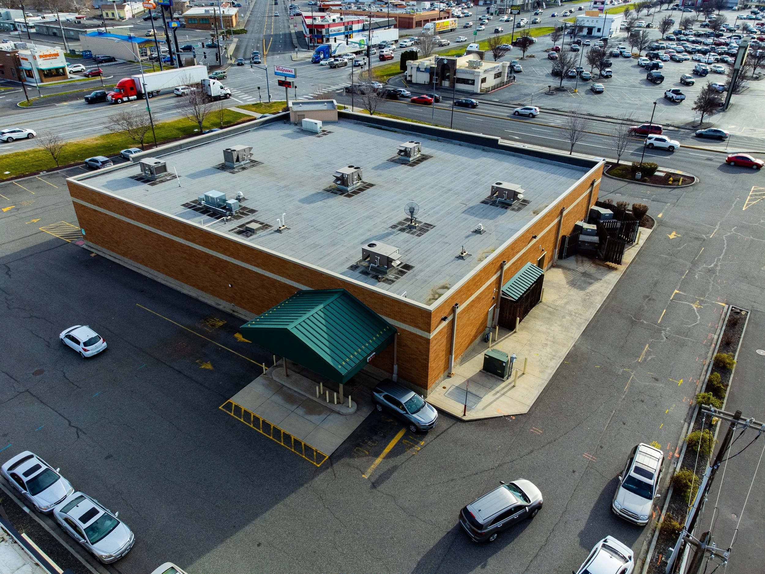 Image 61 of 99
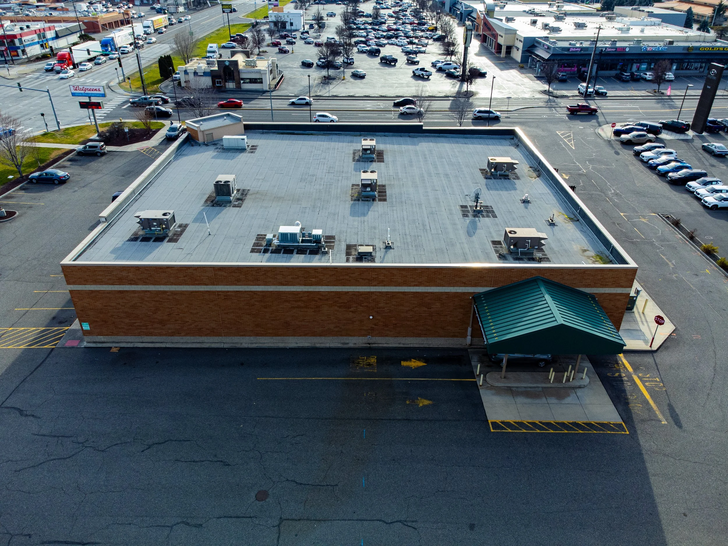 Image 62 of 99
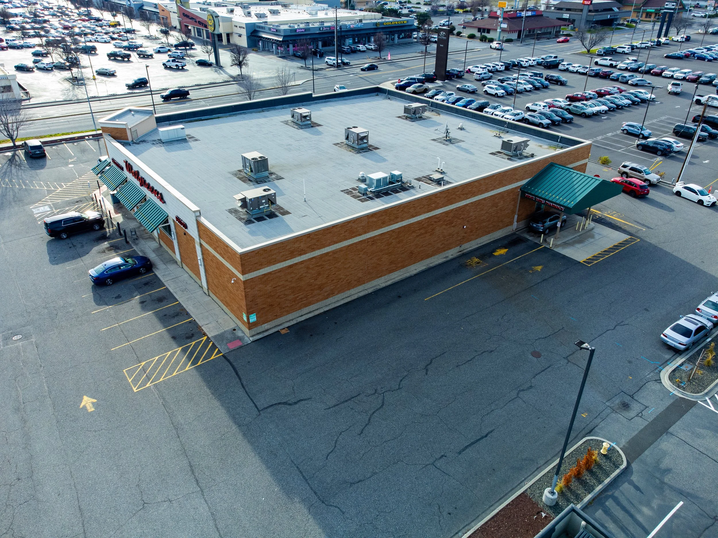 Image 63 of 99
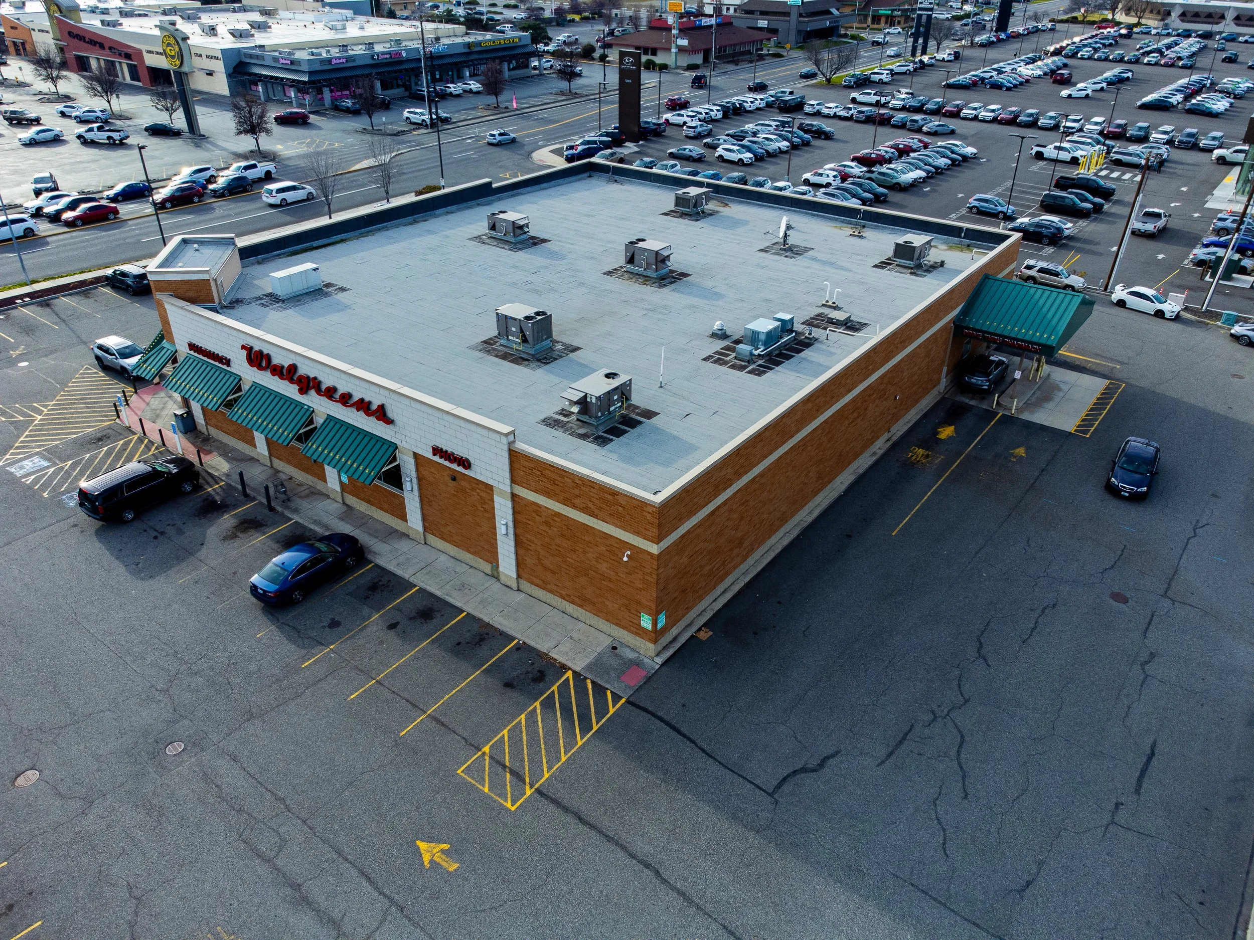 Image 64 of 99
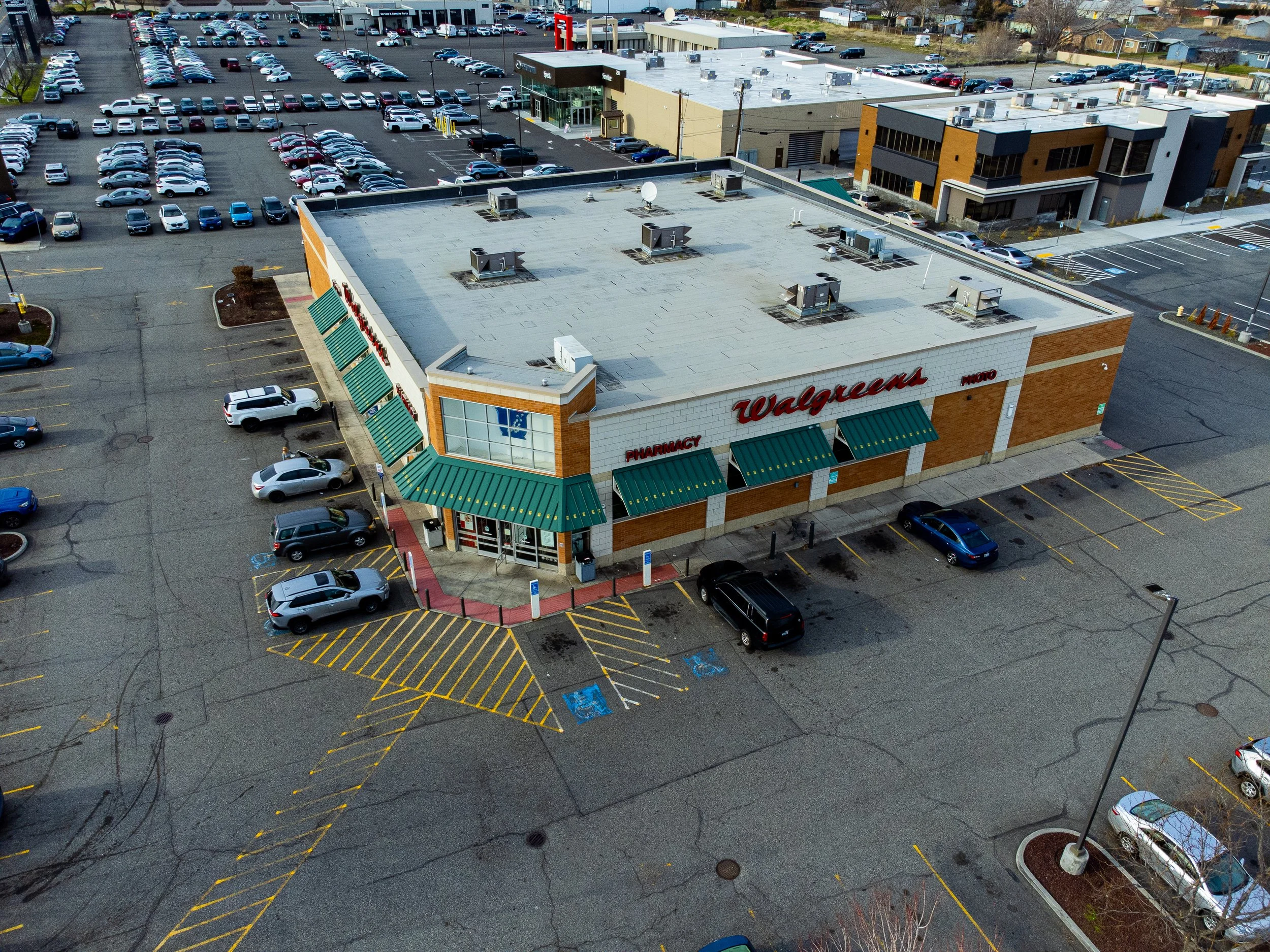 Image 65 of 99
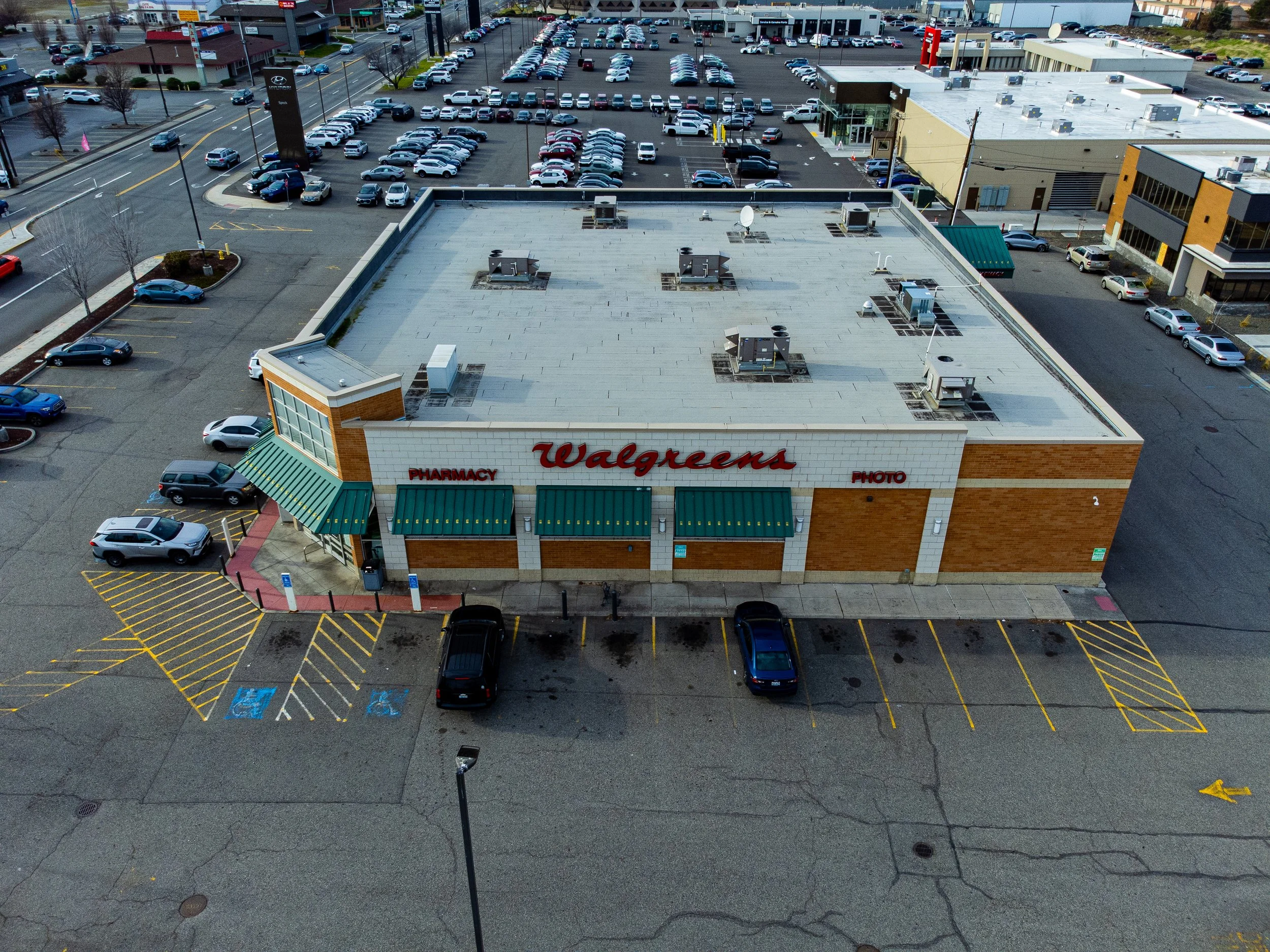 Image 66 of 99
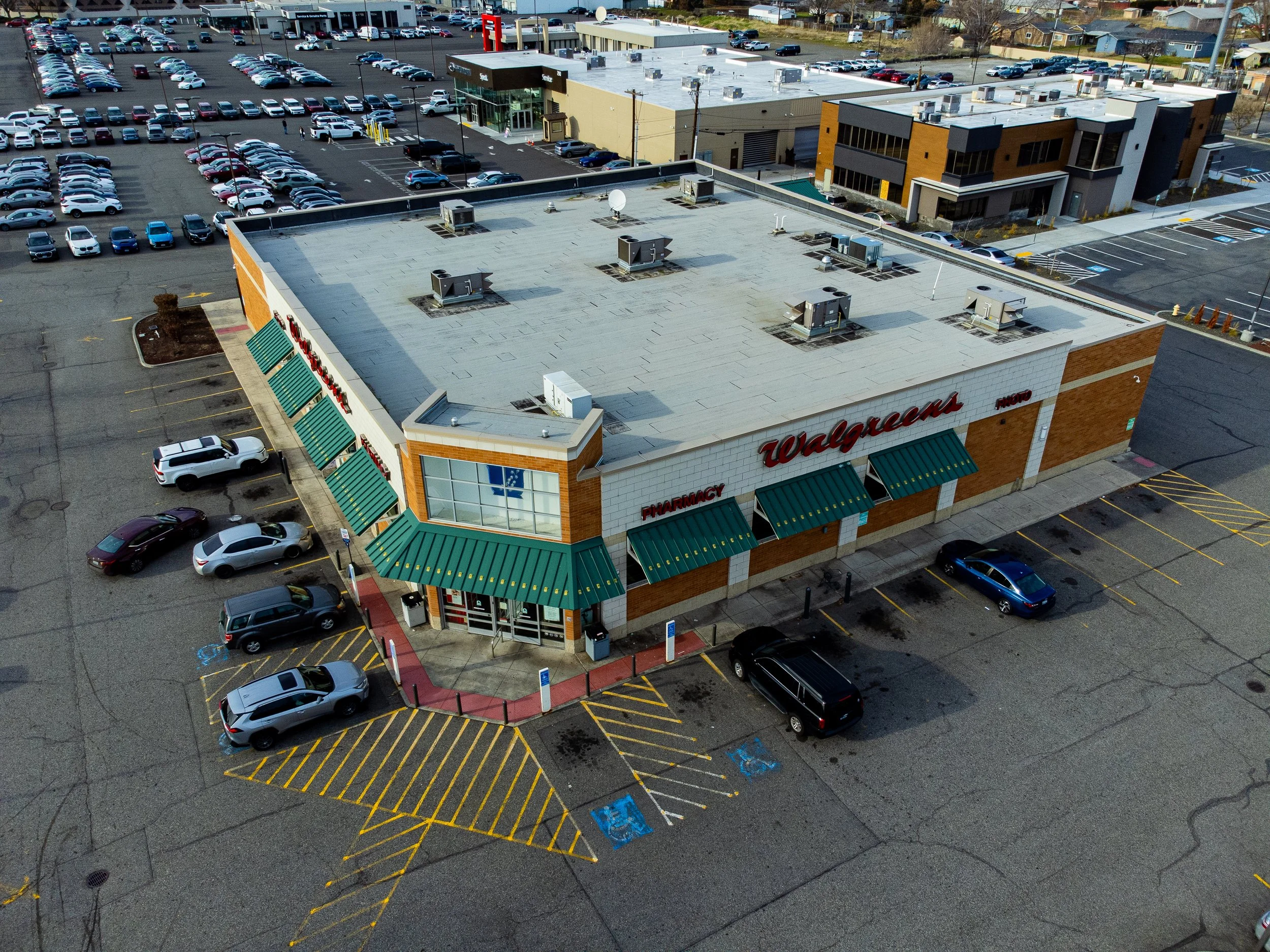 Image 67 of 99
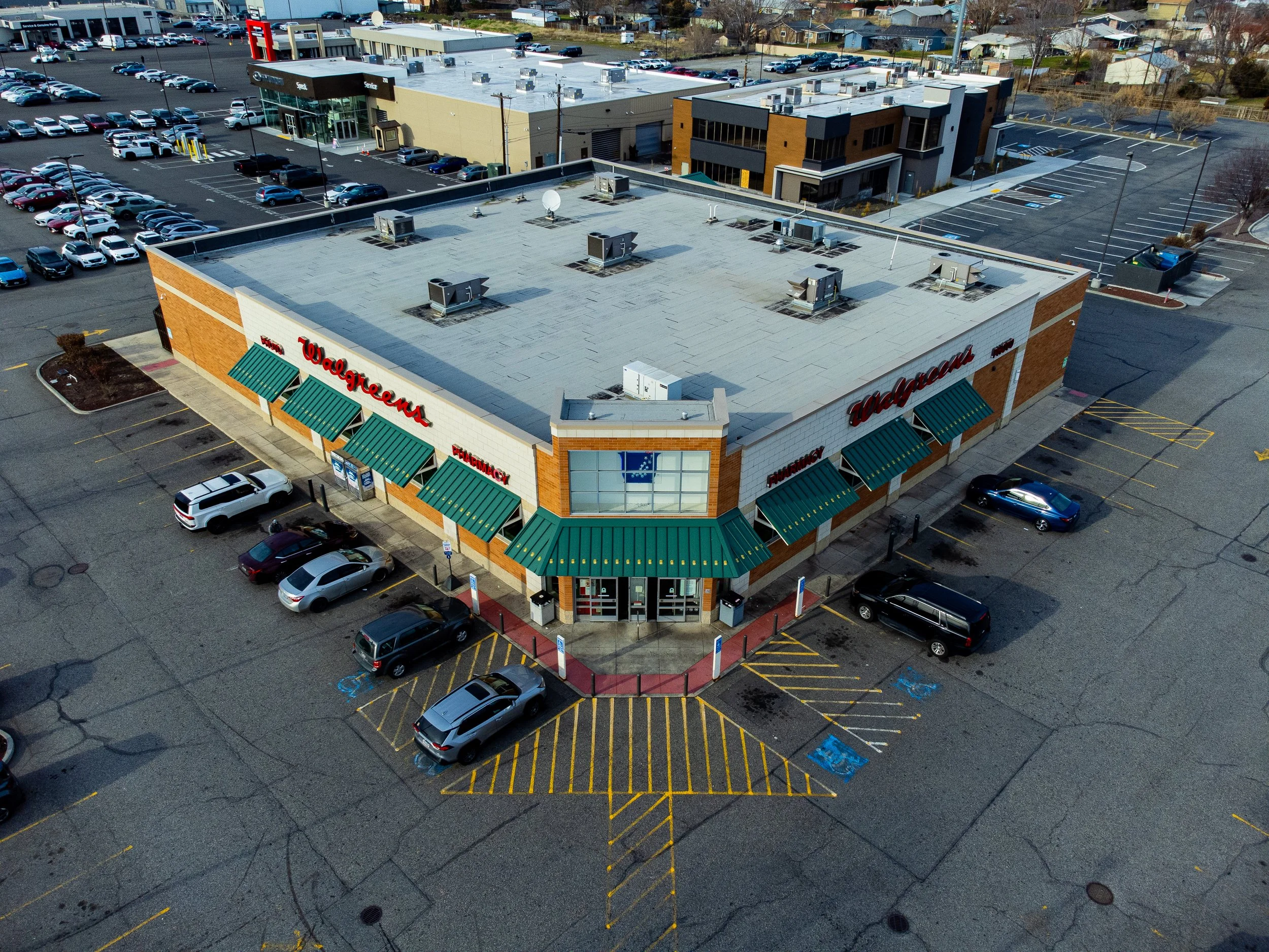 Image 68 of 99
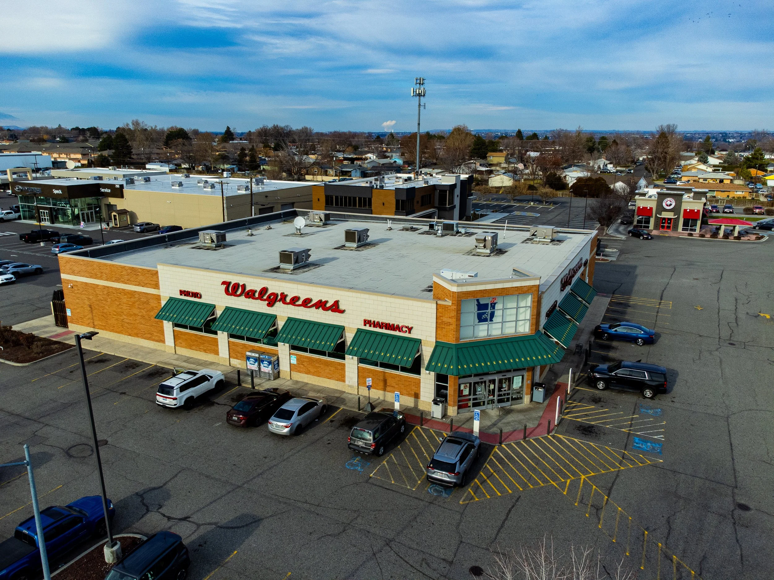 Image 69 of 99
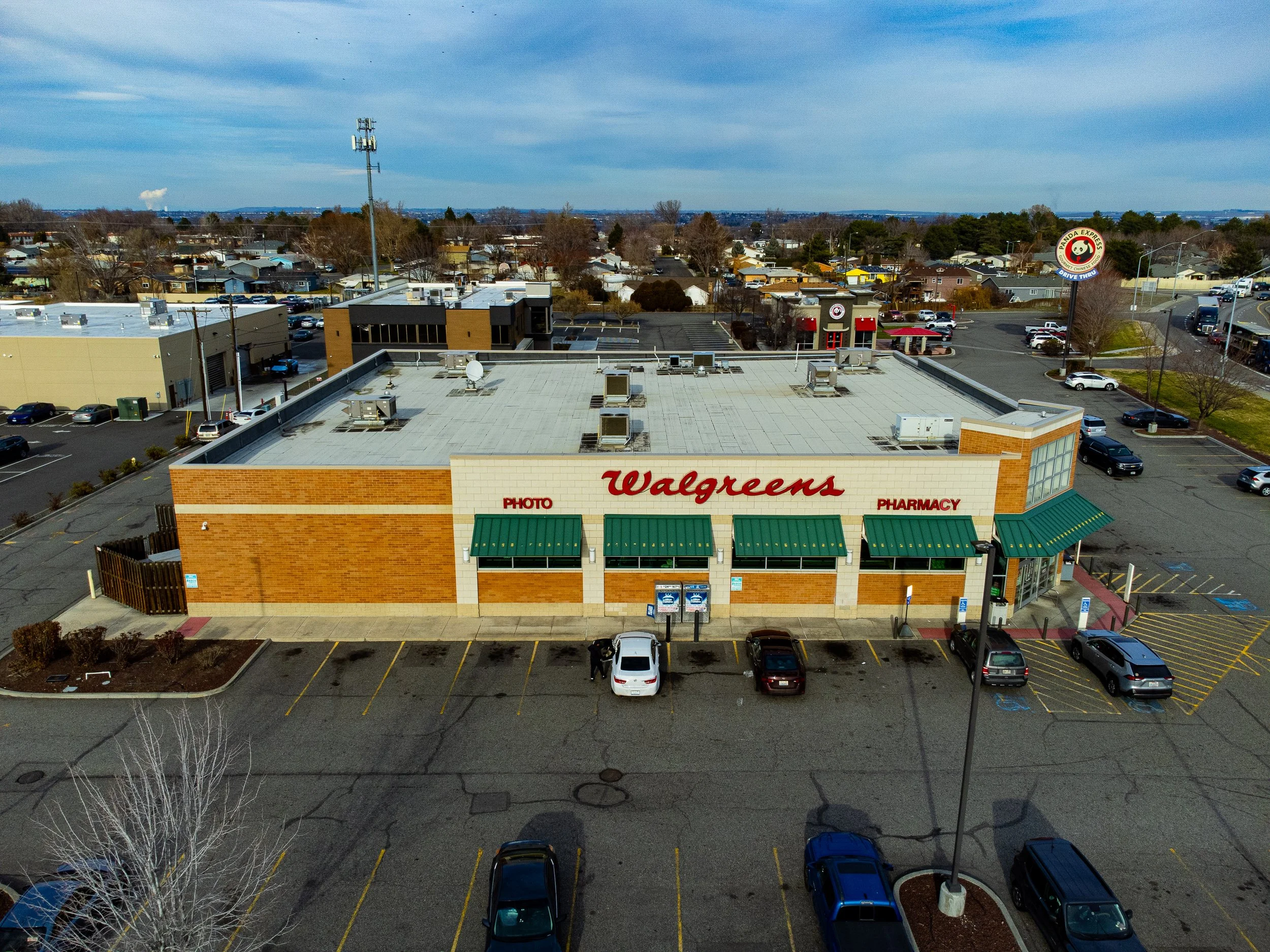 Image 70 of 99
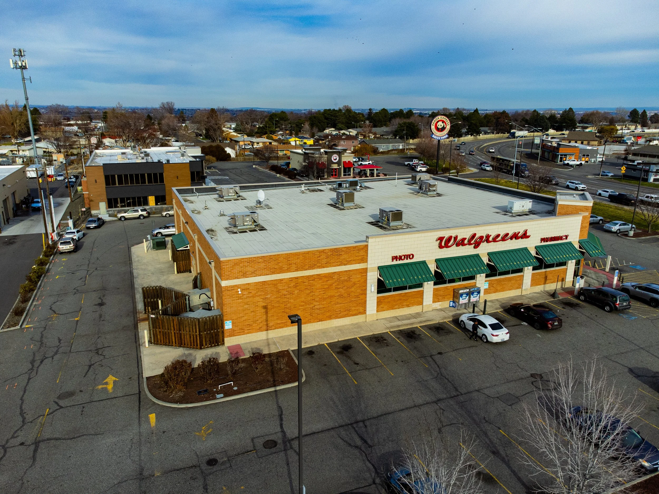 Image 71 of 99
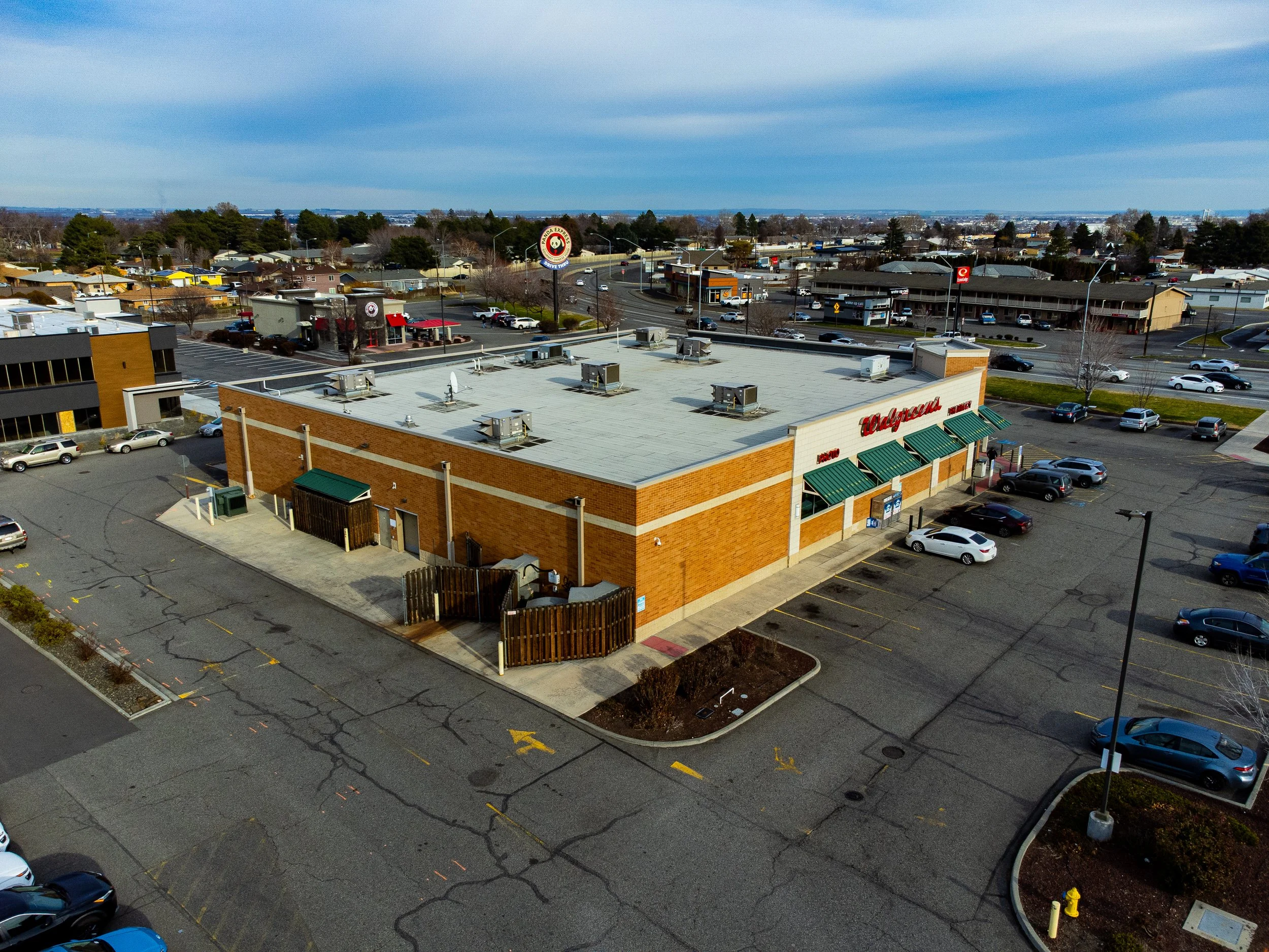 Image 72 of 99
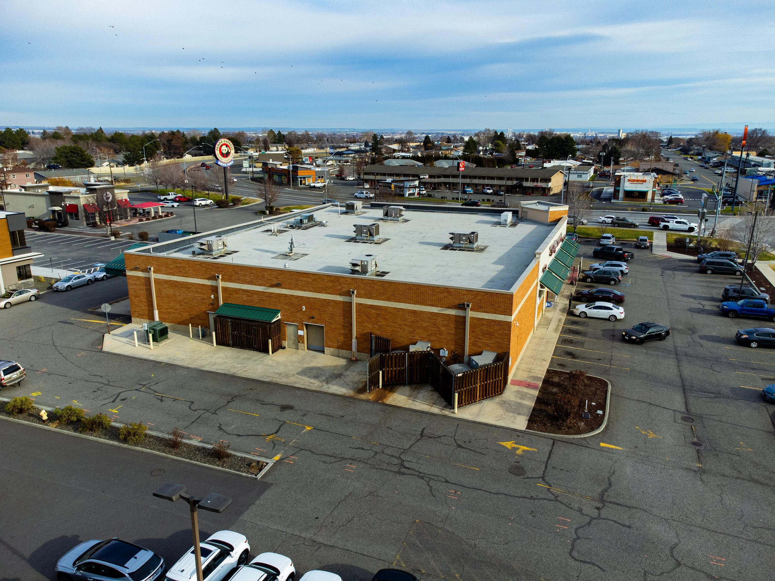 Image 73 of 99
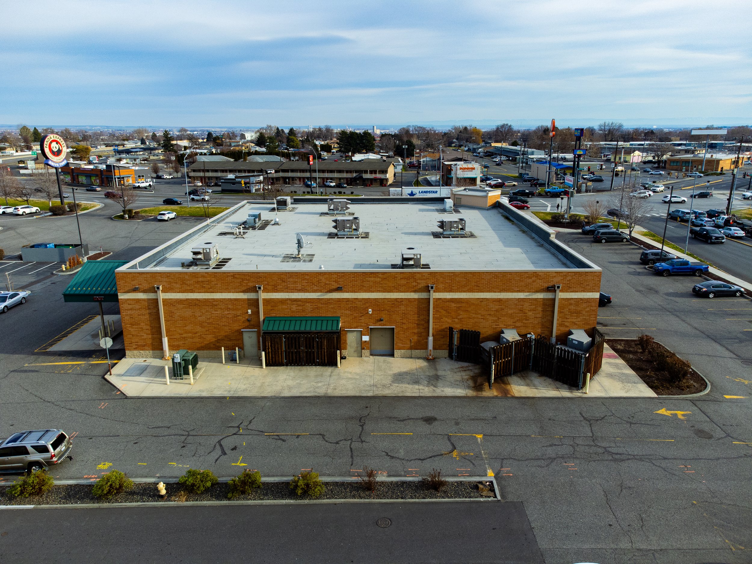 Image 74 of 99
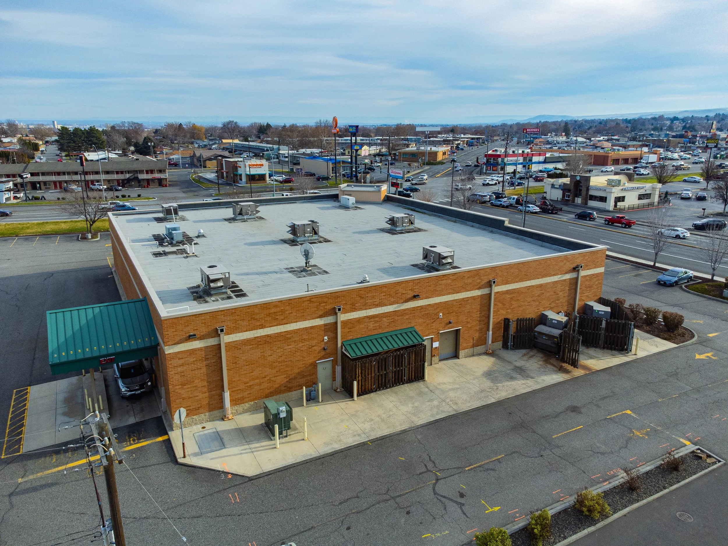 Image 75 of 99
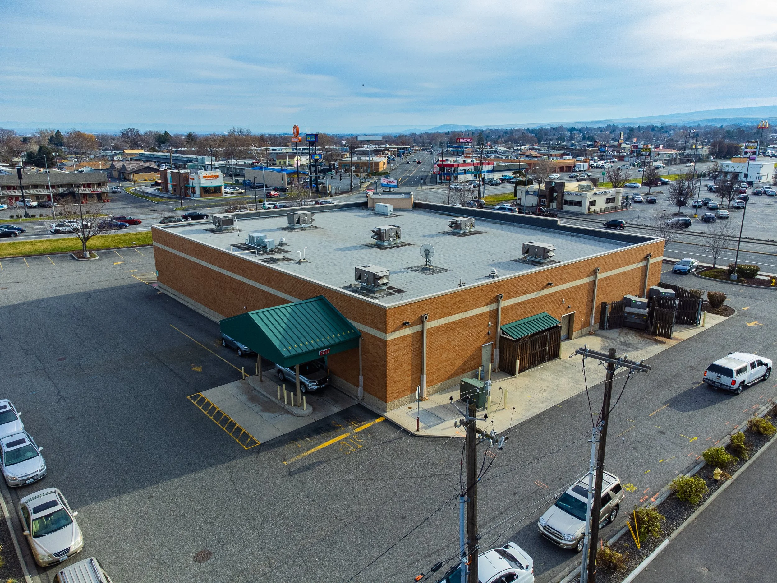 Image 76 of 99
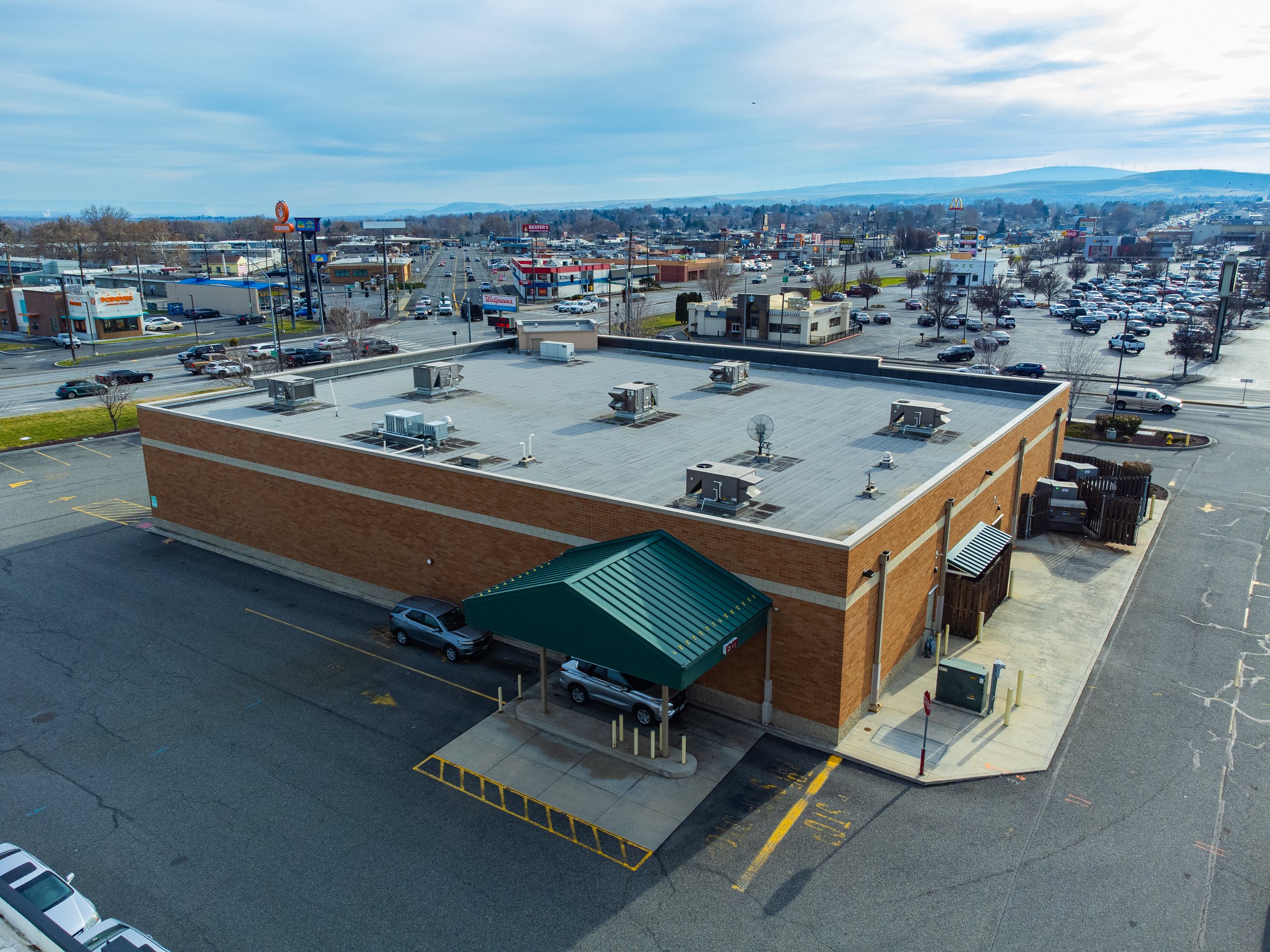 Image 77 of 99
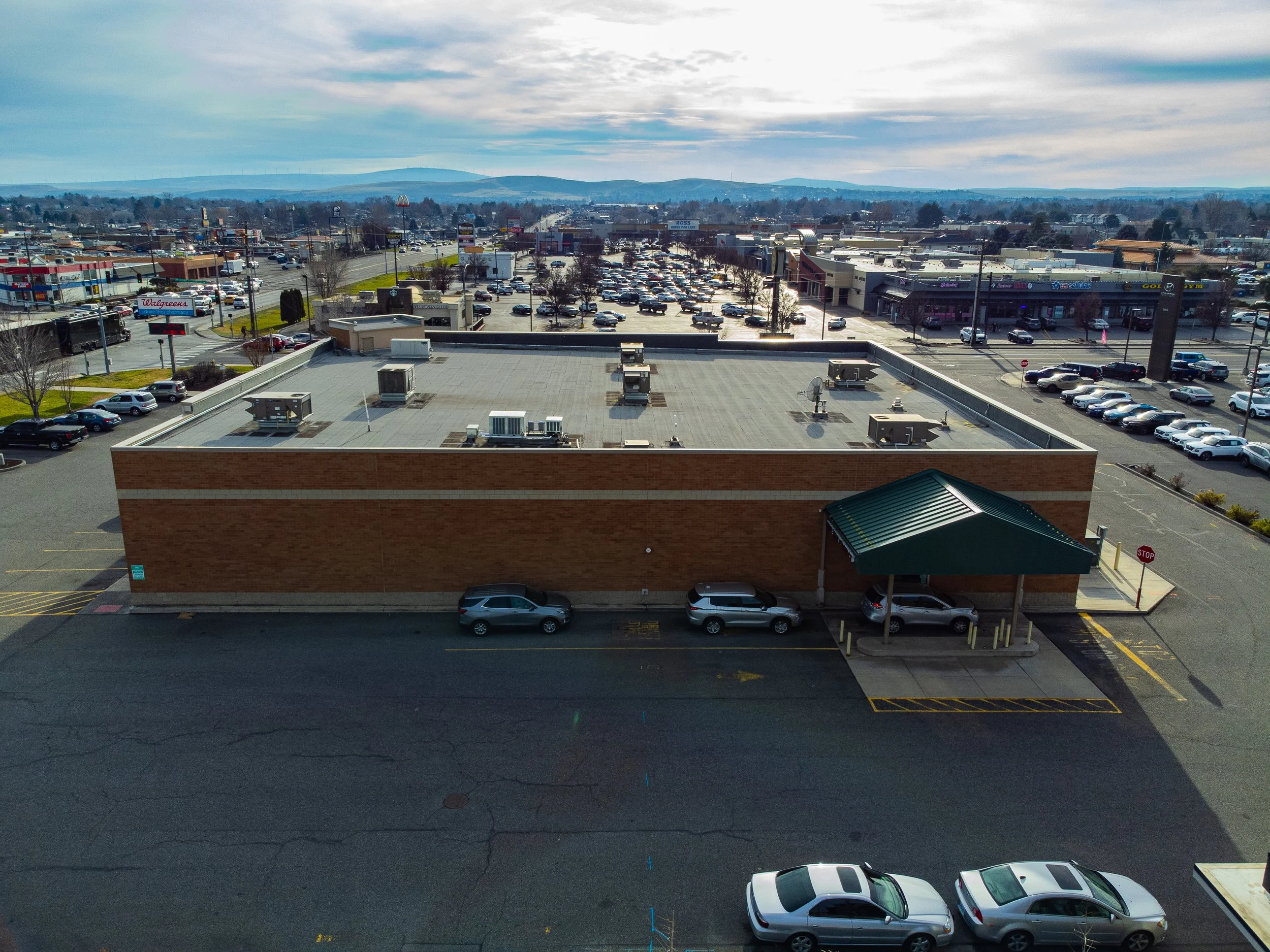 Image 78 of 99
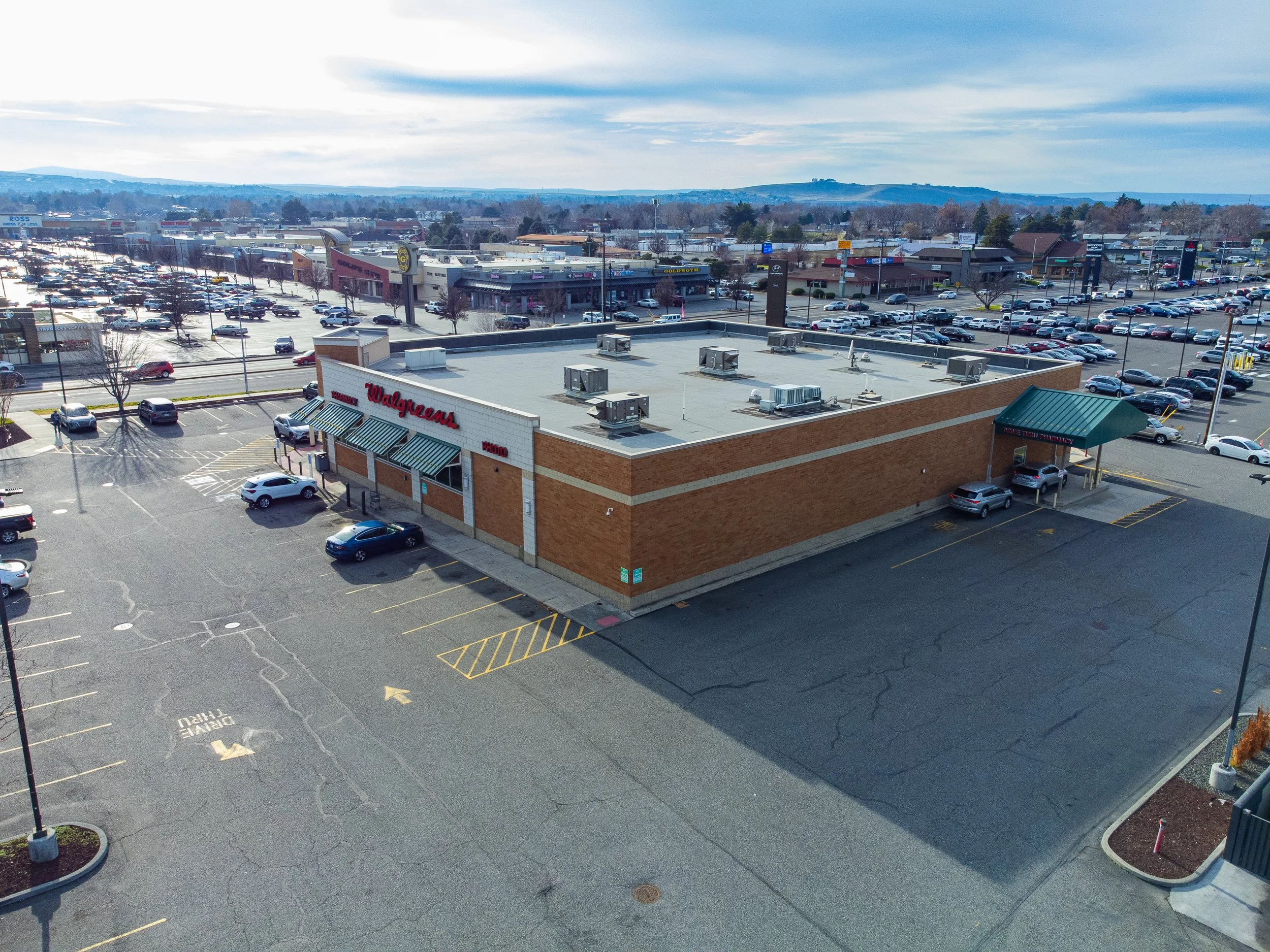 Image 79 of 99
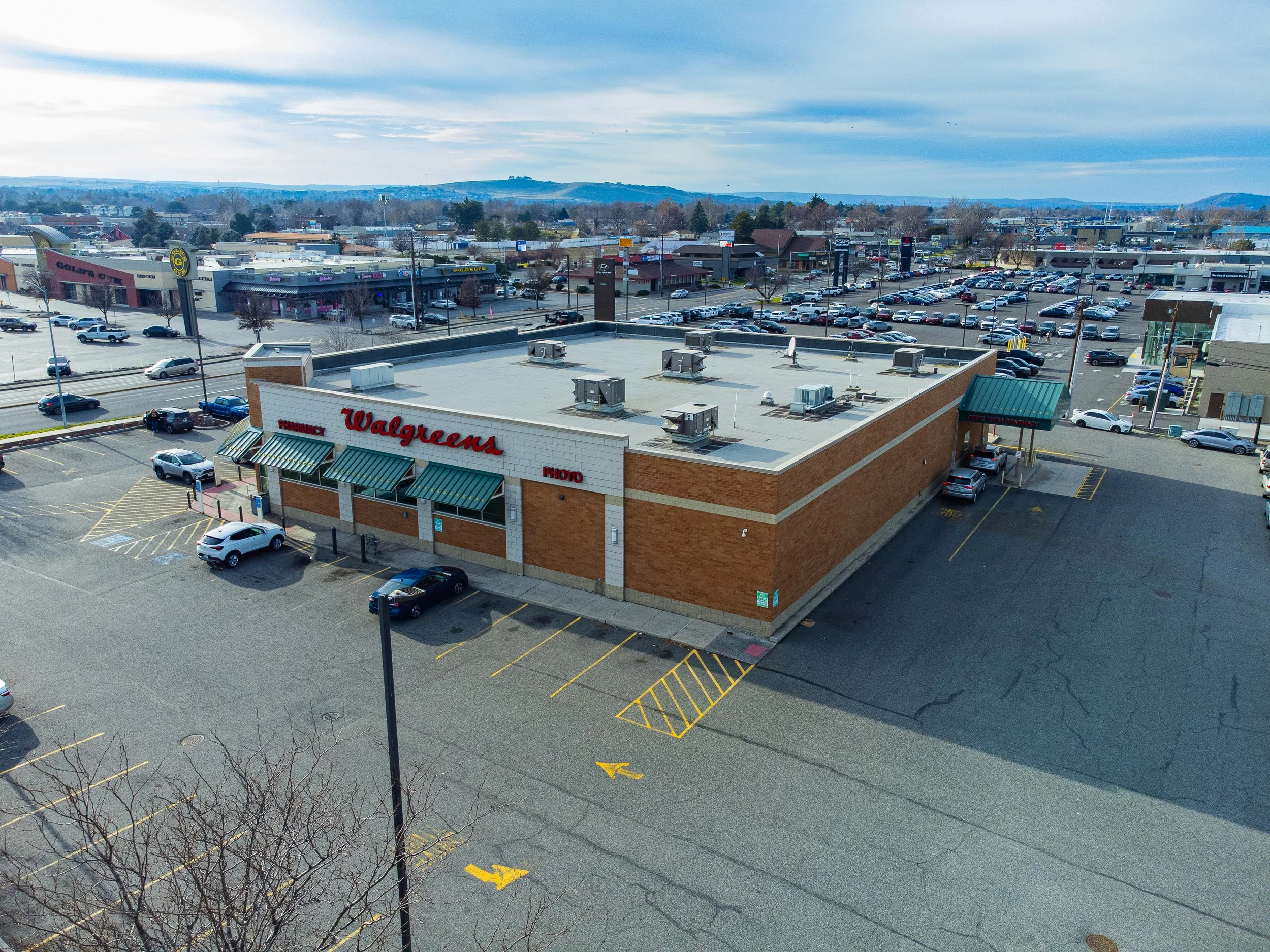 Image 80 of 99
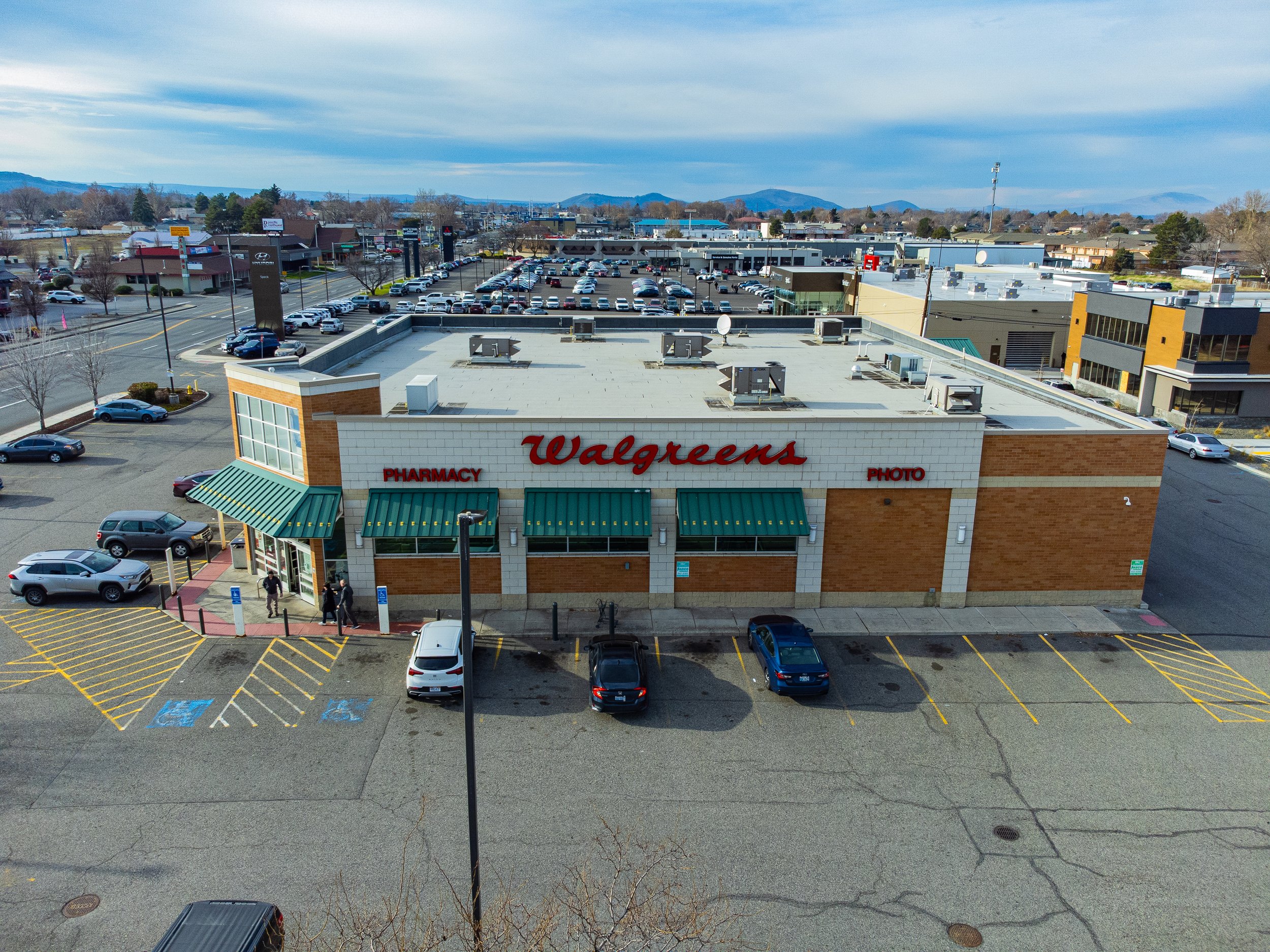 Image 81 of 99
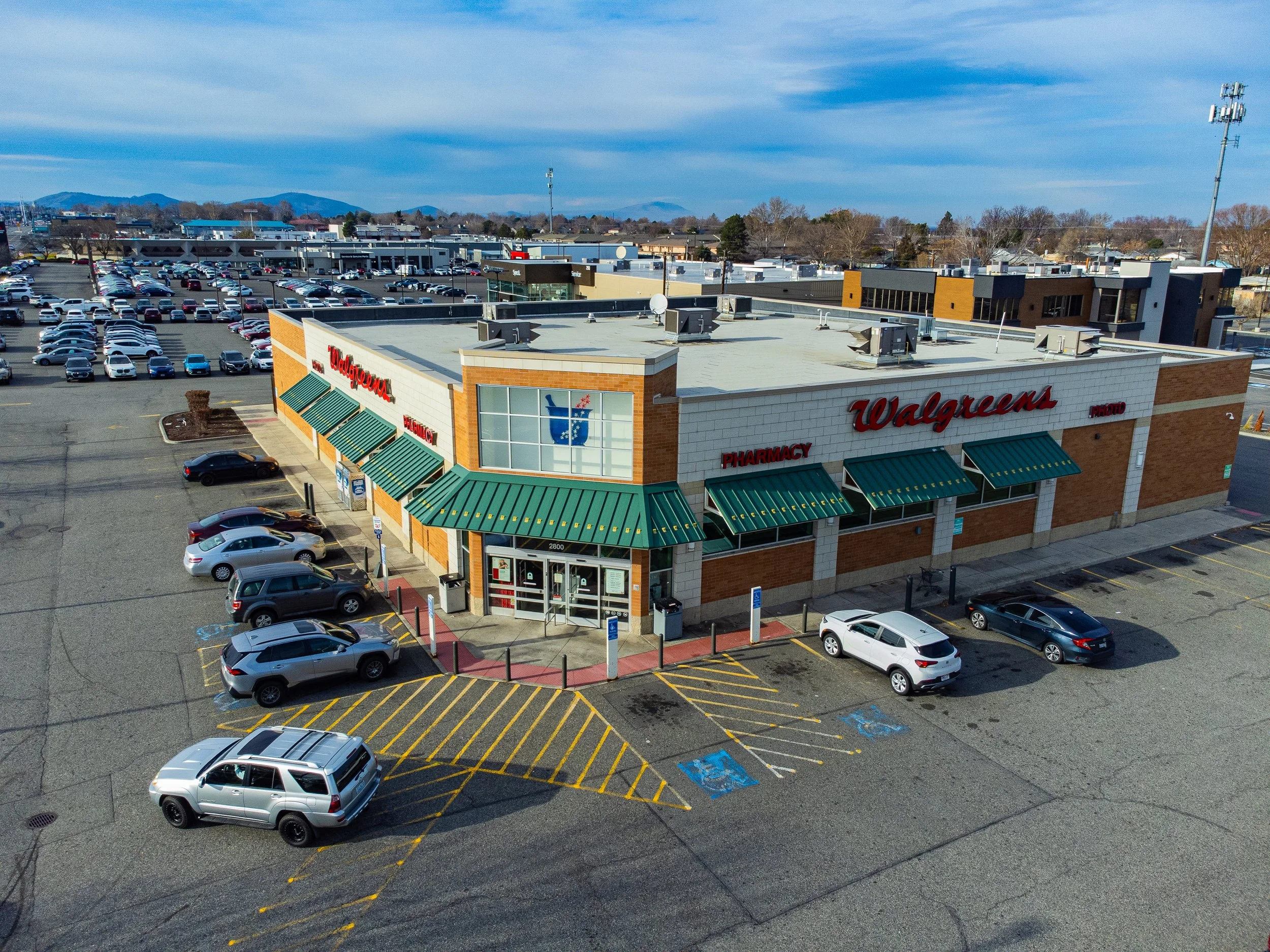 Image 82 of 99
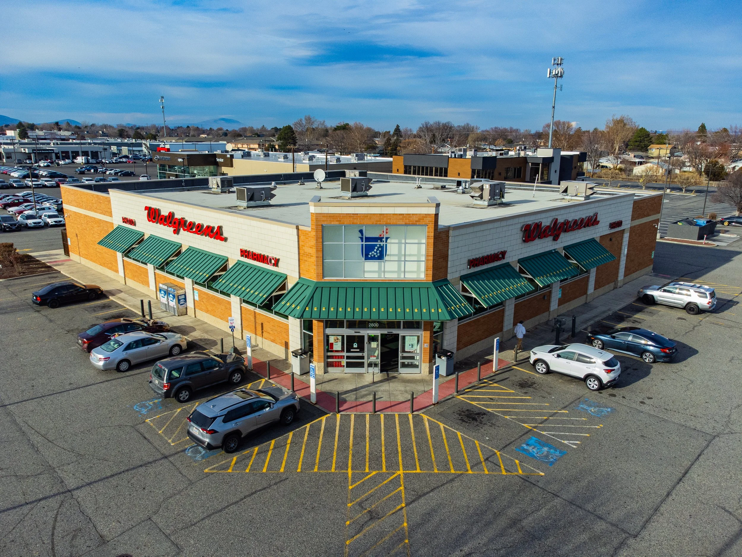 Image 83 of 99
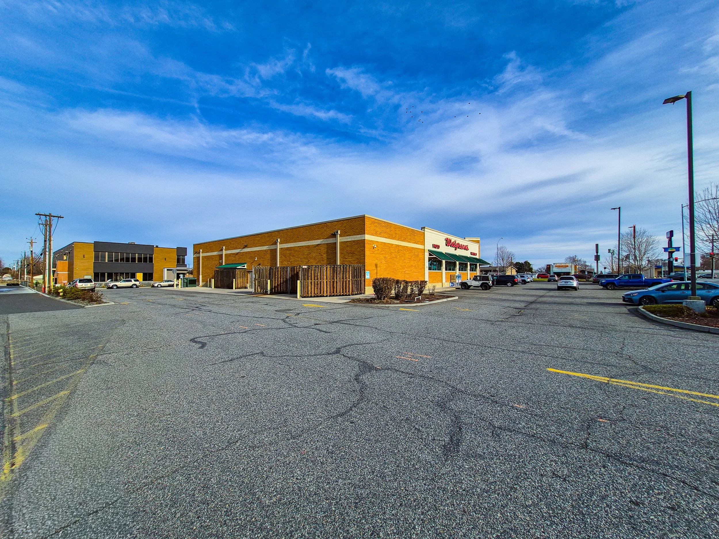 Image 84 of 99
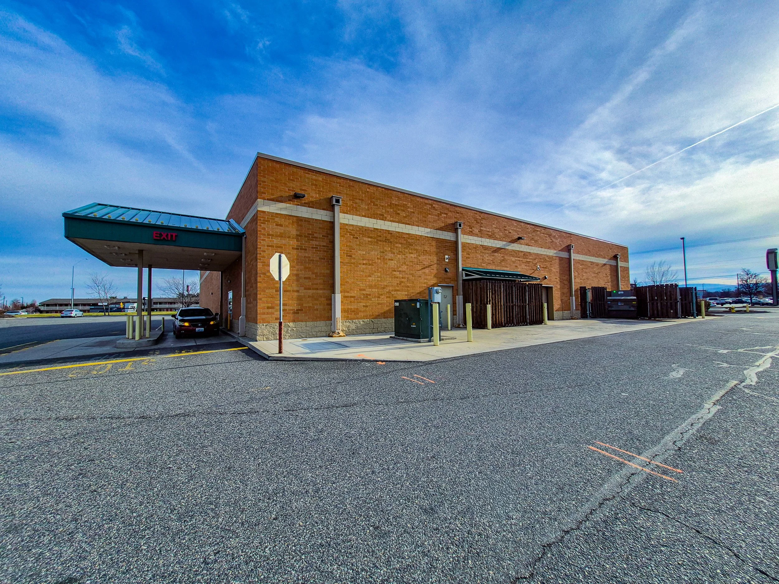 Image 85 of 99
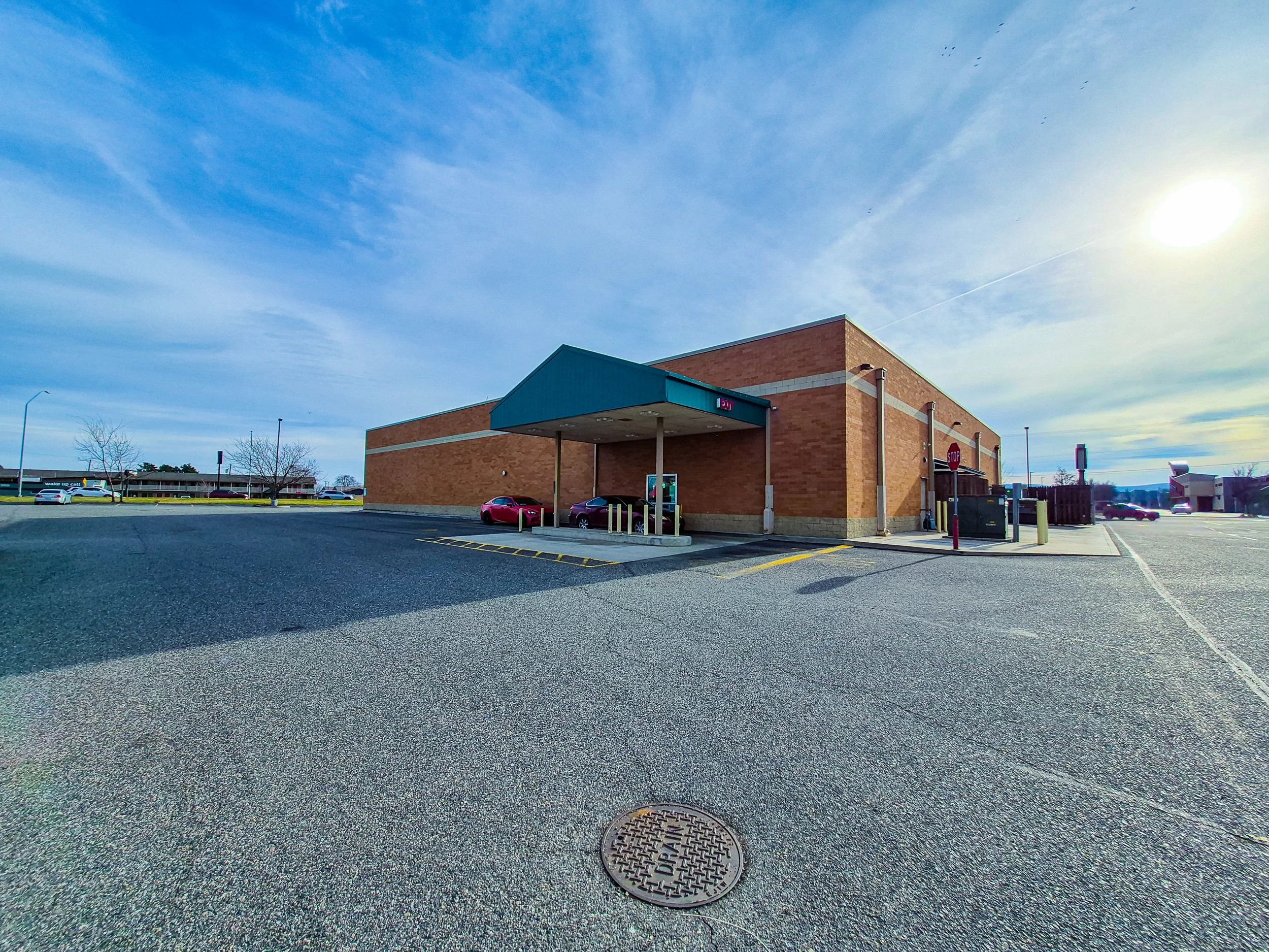 Image 86 of 99
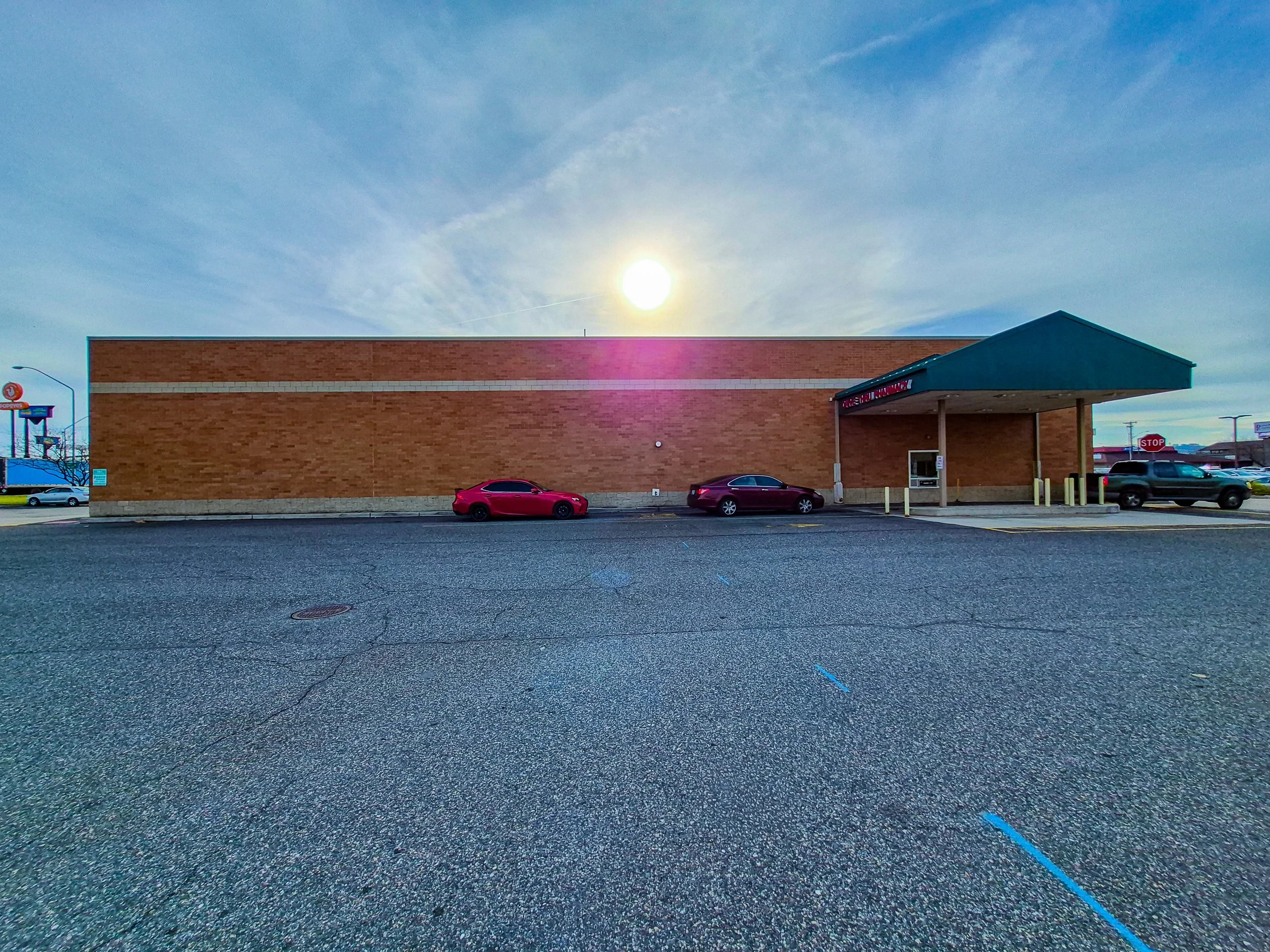 Image 87 of 99
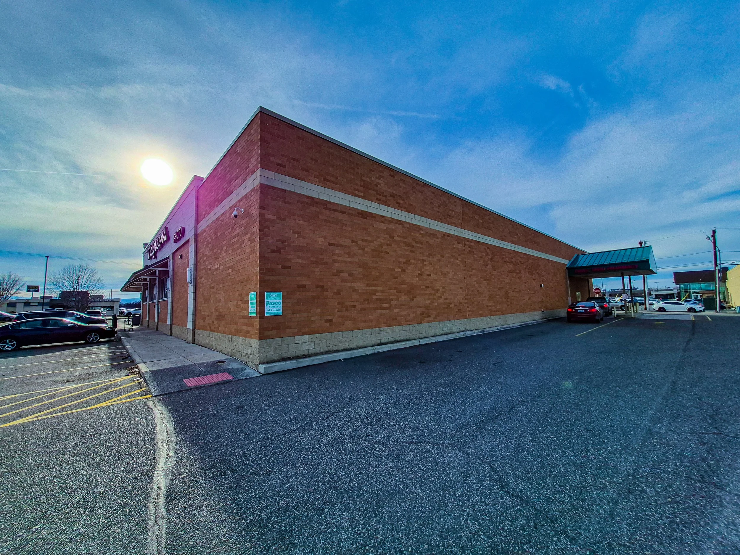 Image 88 of 99
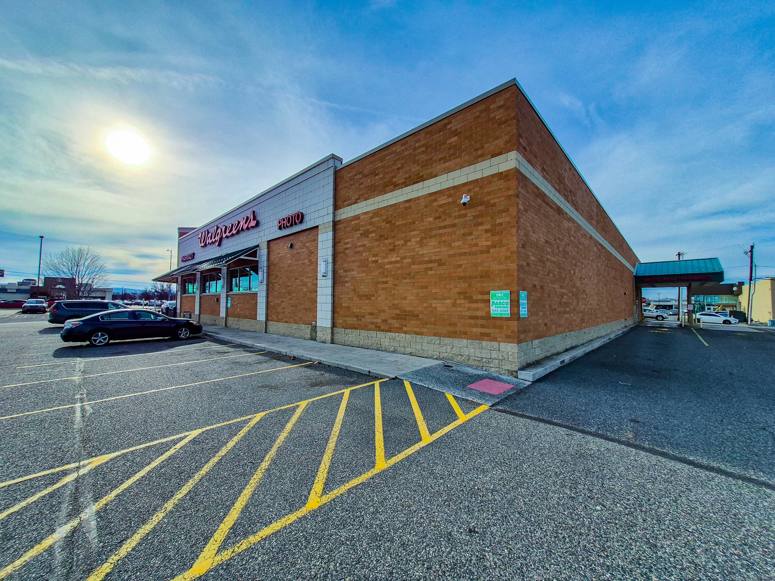 Image 89 of 99
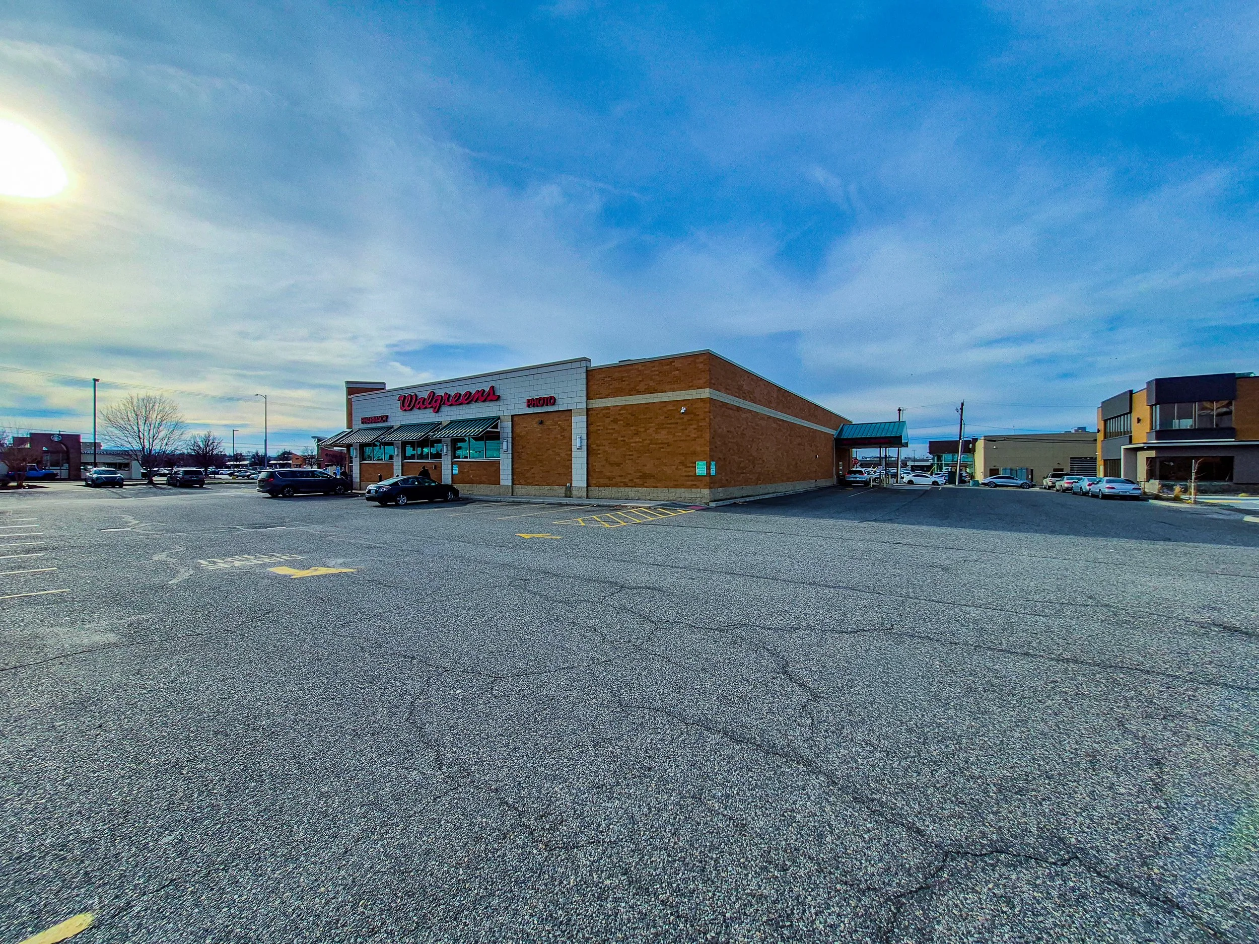 Image 90 of 99
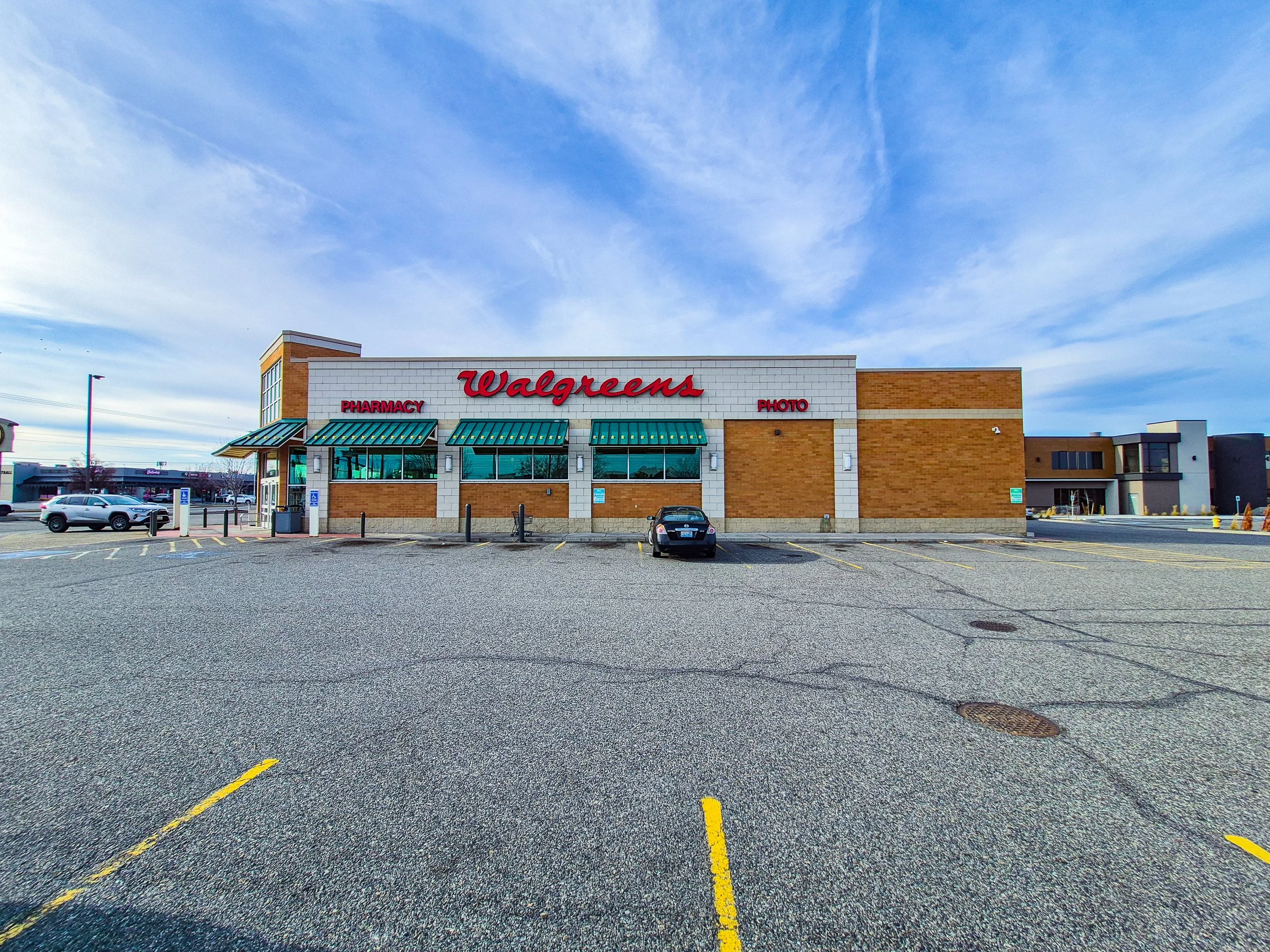 Image 91 of 99
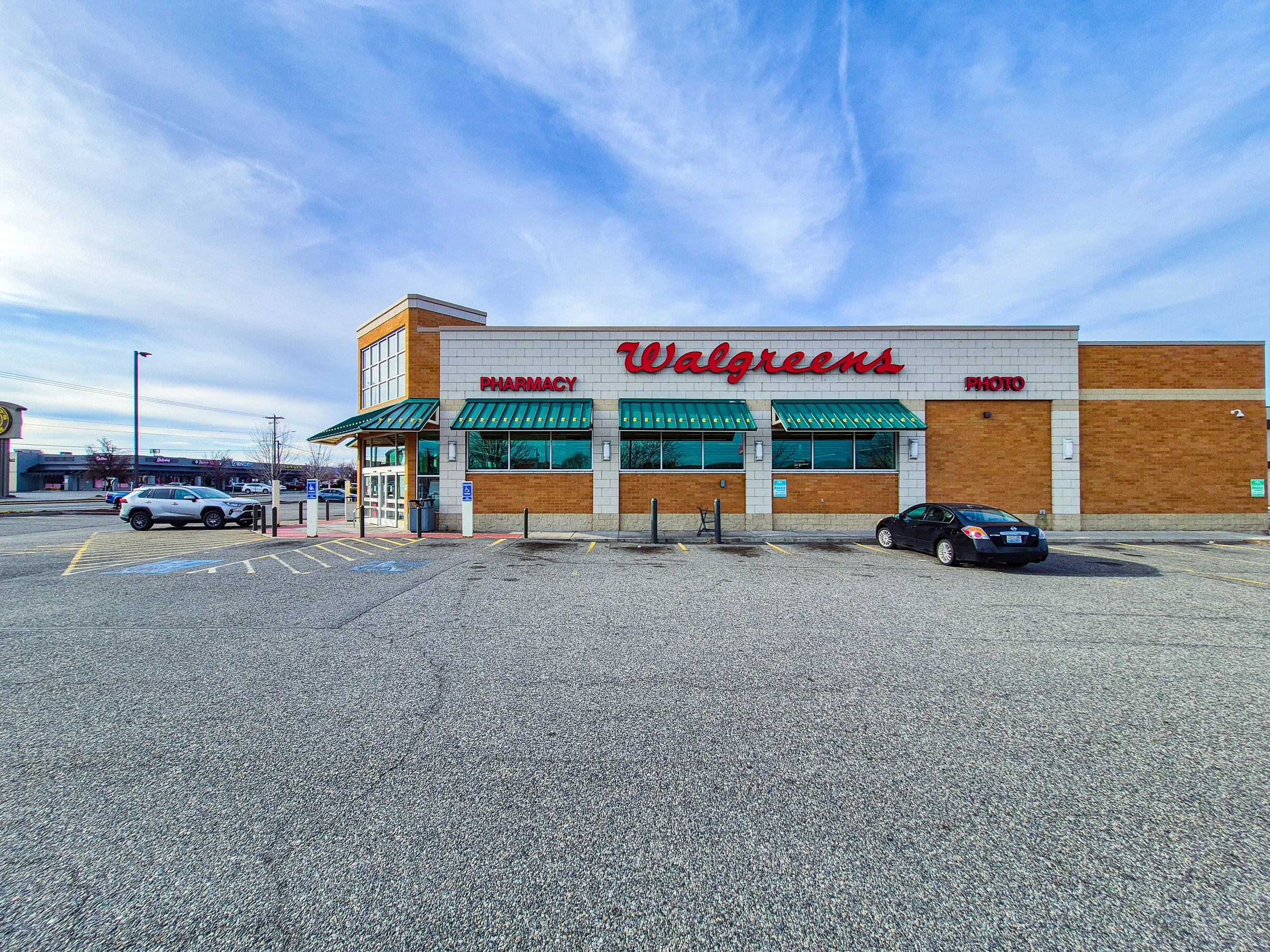 Image 92 of 99
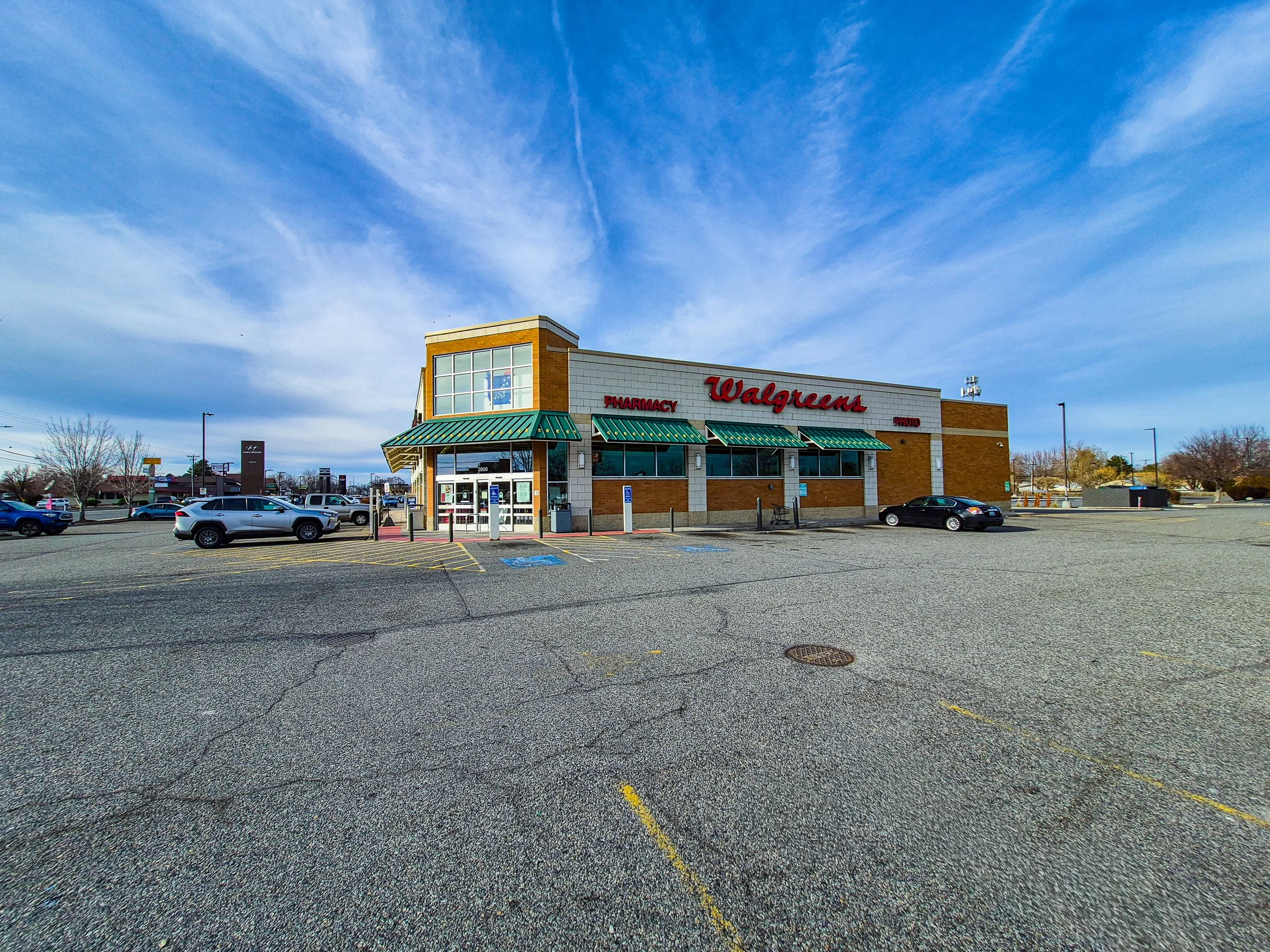 Image 93 of 99
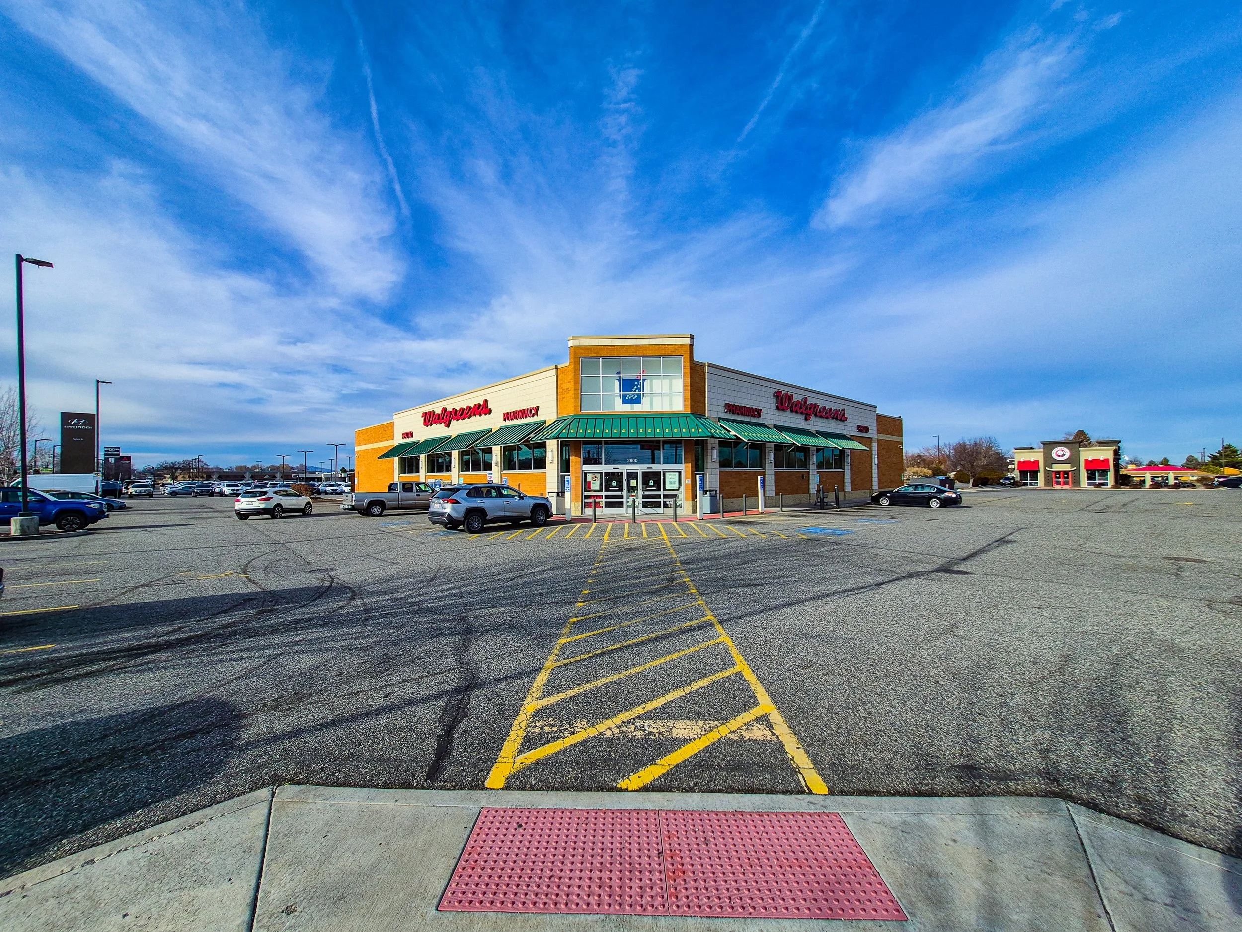 Image 94 of 99
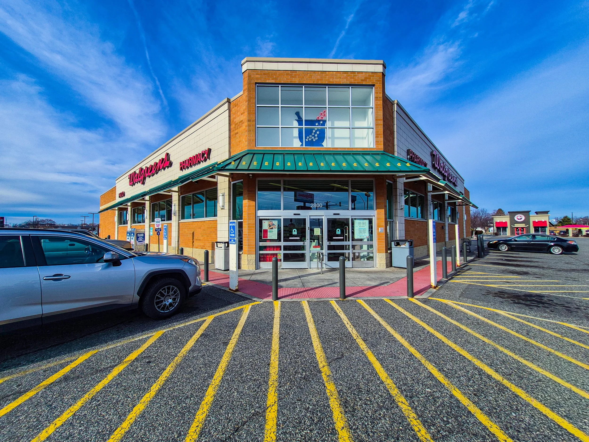 Image 95 of 99
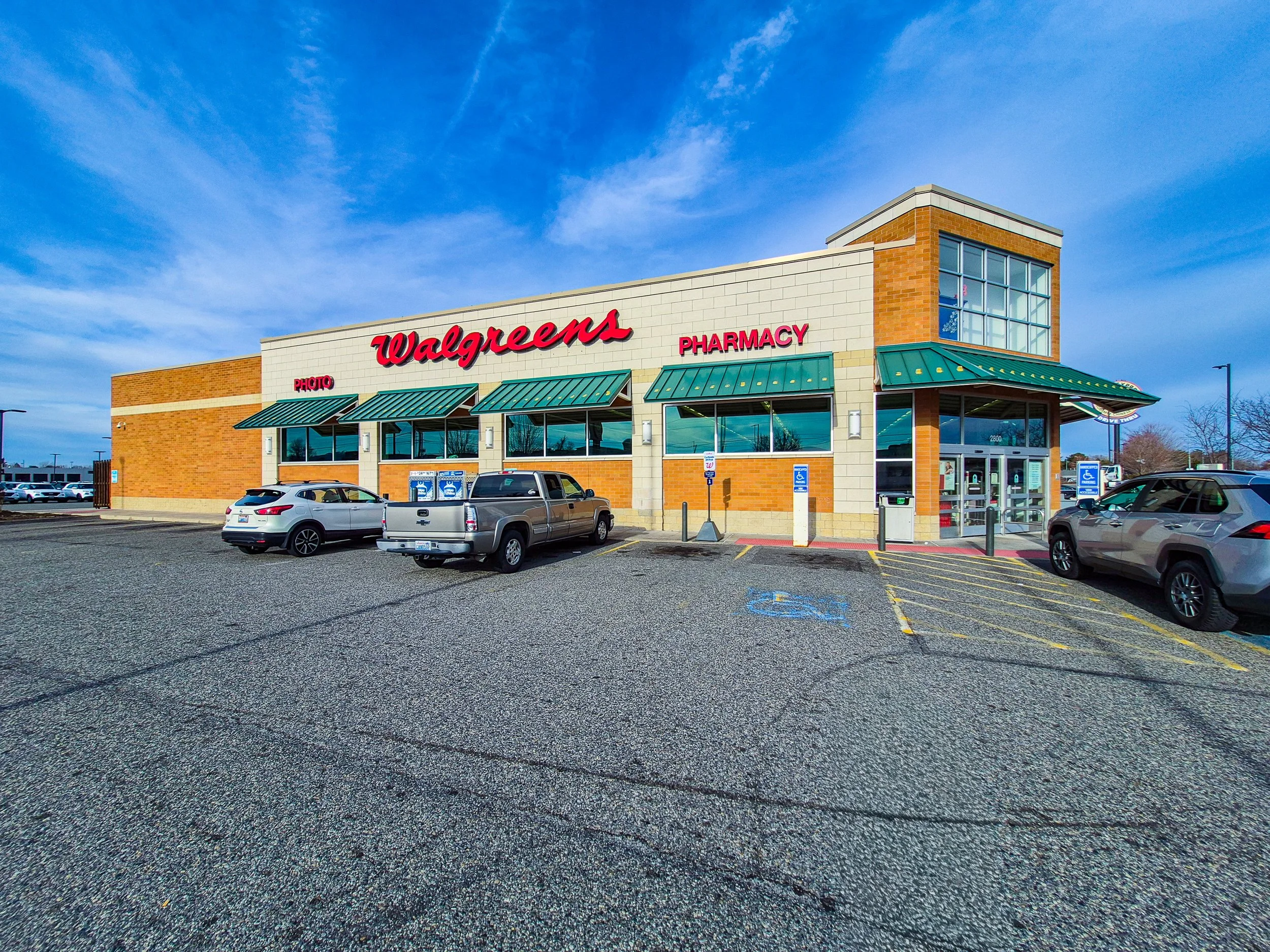 Image 96 of 99
 Image 97 of 99
 Image 98 of 99
 Image 99 of 99
The Premium Package includes:
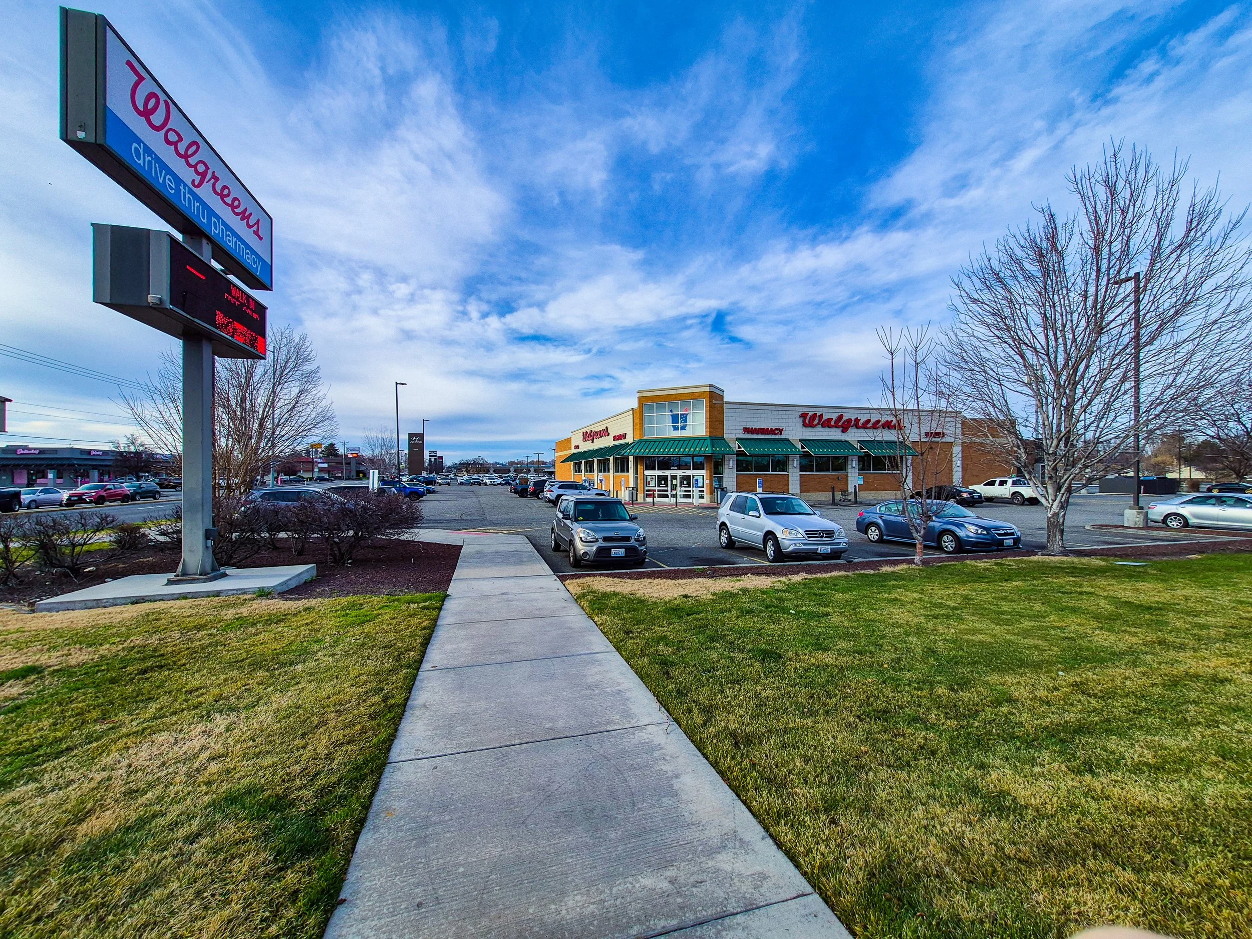
8 ground-level photos from eight primary directions
8 additional ground-level photos from secondary directions
4 artistic ground-level photos
16 aerial photos from sixteen directions at subject-focused altitude
16 aerial photos from sixteen directions at wider, area-coverage altitude
16 aerial photos from sixteen directions at community-level altitude
8 top-down (90°) aerial photos rotated across eight orientations
8 aerial photos captured at a 75° angle across eight directions
4 artistic aerial photos
High-resolution RAW image files
4 premium drone videos:
3 videos captured at three different altitude levels
1 cinematic video
All still images are provided in RAW format to retain maximum image data and allow flexible post-processing.
This package is designed to provide a fully comprehensive aerial perspective through the integration of subject-focused imagery, environmental context, area-level coverage, surrounding neighborhoods, and artistic visual compositions from multiple orientations and altitudes.
Due to site-specific conditions such as access limitations, safety considerations, physical obstructions, or airspace regulations, certain vantage points may not be available during the aerial session.
In such cases, AeroStudio will provide alternative angles that maintain visual clarity and effectively represent the subject within its surrounding space.